- Mount Takami
-
Mount Takami 高見山 
Mount Takami from Hirano(January 2009)Elevation 1,248.3 m (4,095 ft) Listing List of mountains and hills of Japan by height Location Location On the border of Higashiyoshino, Nara, and Matsusaka, Mie, Japan Range Daiko Mountains Coordinates 34°25′44″N 136°05′17″E / 34.429°N 136.088°E Mount Takami (高見山 Takami-san/Takami-yama) is a 1,248.3 m (4,095 ft) mountain of Daiko Mountains, which is located on the border of Higashiyoshino, Nara, and Matsusaka, Mie, Japan
Contents
Outline
This mountain is located on the north end of Daiko Mountains. This mountain is one of the 300 Famous Japanese Mountains. This mountain is an important part of Muro-Akame-Aoyama Quasi National Park.
Routes
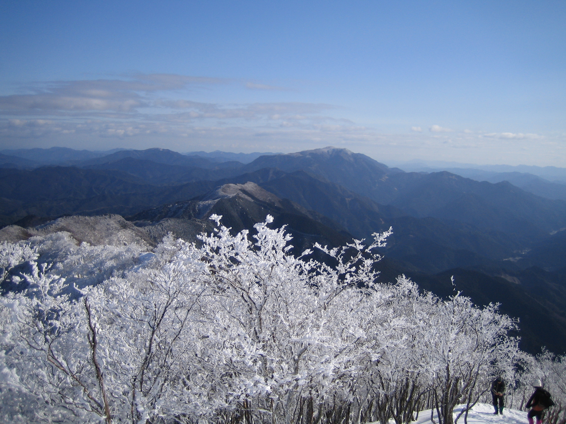
This mountain is very famous for the beautiful frost patterns that form on trees in winter and so attract many climbers. There are several routes to reach the top; one is from Takami-Otoge Pass and it takes about one hour; another route is from Takami-tozanguchi Bus Stop on the Nara Kotsu bus route, and it takes two and a half hours. The third route is from Shimo-Hirano Bus stop, also on the Nara Kotsu bus route, and it also takes two and a half hours.
Gallery
-
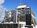
Takasumi Shrine at the top of Mount Takami (January 2009)
-

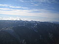
Omine Mountains from Mount Takami (January 2009)
-

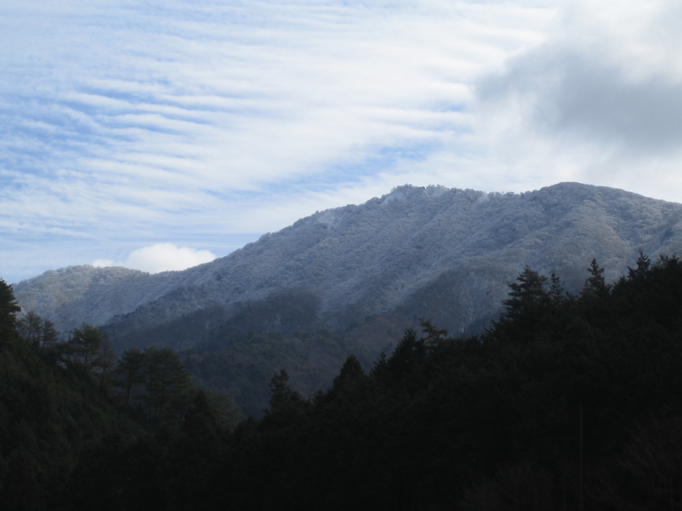
Eastside view of Mount Takami (January 2009)
-
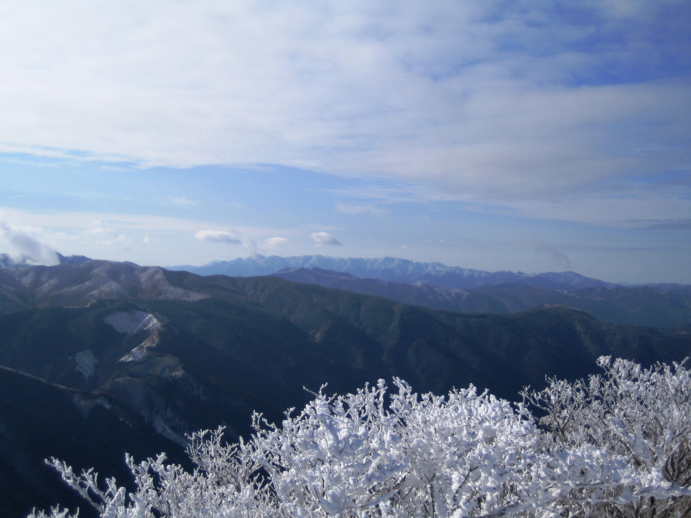
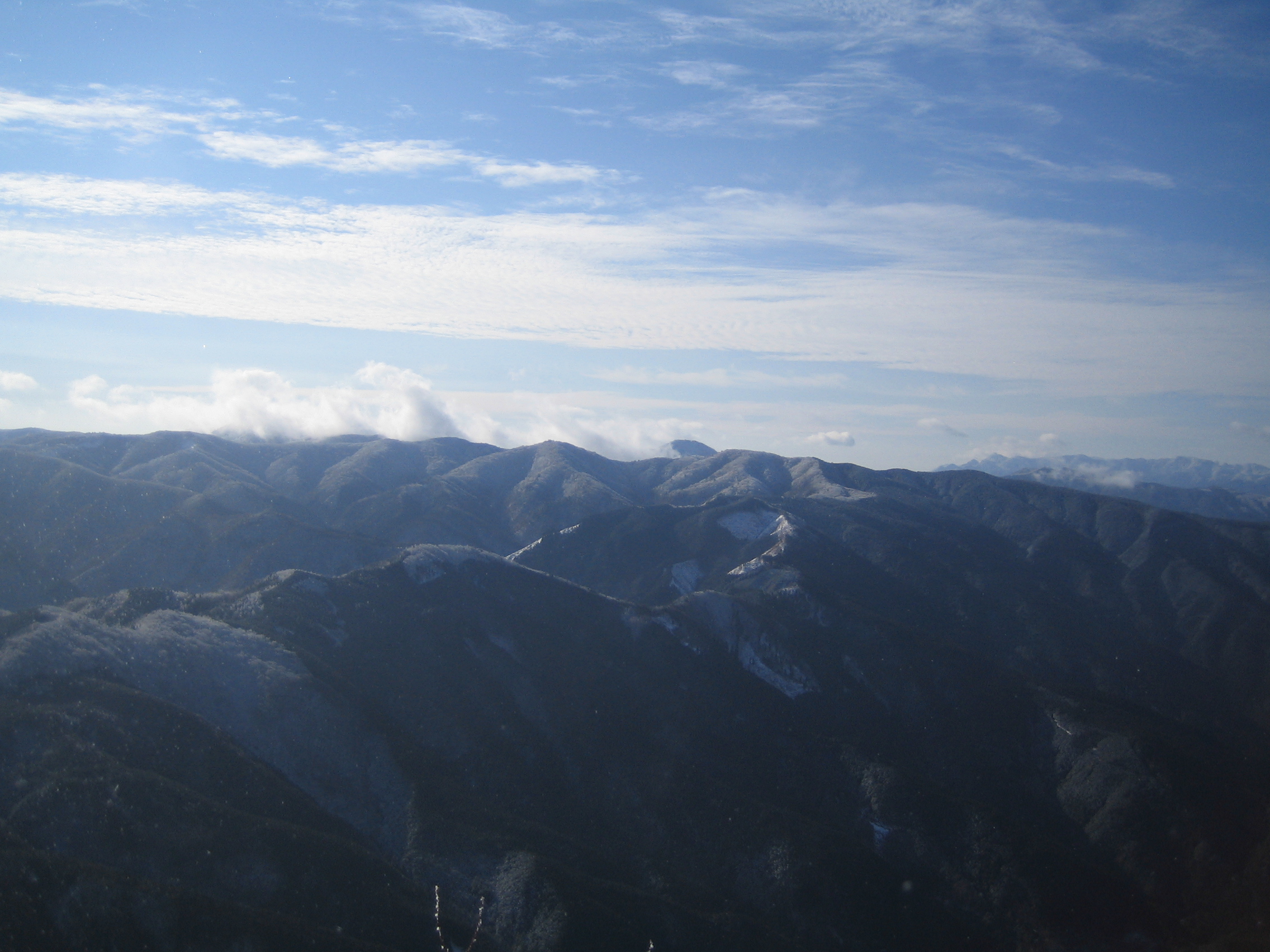
Daiko Mountains from Mount Takami (January 2009)
-

Katsuragi Mountains from Mount Takami (January 2009)
-

Frosts on trees at the top of Mount Takami (1) (January 2009)
-

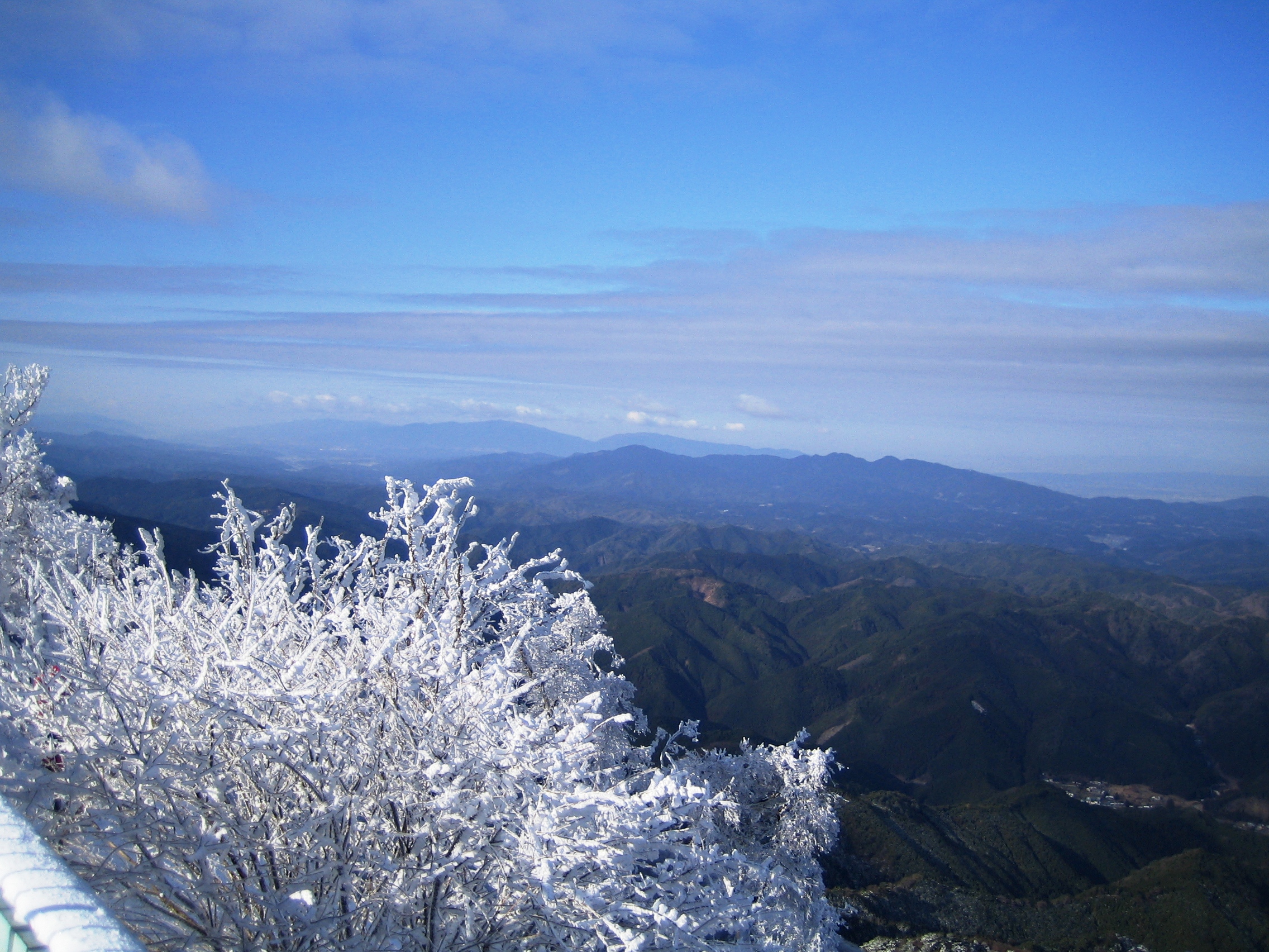
Frosts on trees at the top of Mount Takami (2) (January 2009)
-

Takamisugi Cedar
References
Categories:- Mountains of Nara Prefecture
- Visitor attractions in Nara Prefecture
- Mountains of Mie Prefecture
- Visitor attractions in Mie Prefecture
-


Wikimedia Foundation. 2010.