- Mount Rokkō
-
Mount Rokkō 六甲山 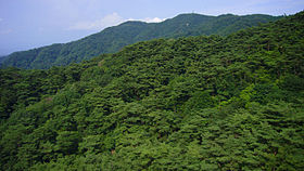
Elevation 931.6 m (3,056 ft) Pronunciation Japanese: [ɽokːoːsaɴ] Location Location Kobe, Hyōgo, Japan Range Rokkō Mountains Coordinates 34°46′40″N 135°15′50″E / 34.77778°N 135.26389°E Geology Type Fault-block Mount Rokkō (六甲山 Rokkō-san) is a name of a group of mountains in Hyōgo Prefecture, Japan. This mountain is one of Hyōgo 50 mountains, Kinki 100 mountains, and also one of the 300 famous mountains in Japan.
Contents
Outline
There is no single mountain or peak called "Rokkō." The highest peak of the mountains is called Rokkō-Saikōhō (六甲最高峰), literally, the highest peak in Rokkō Mountains. The mountains spread from Sumaura Kōen Park in the west end of Kobe, to Takarazuka, and the length of the mountains ranges is about 56 km. The highest point is 931m. It includes Mount Maya, Mount Kabutoyama, Mount Iwahara and Mount Iwakura.
Today, the Rokkō mountain area is a centerpiece of a popular sightseeing and hiking area for people in the metropolitan area in Kansai region. Mt. Rokkō is a symbol of Kobe as well as Osaka.
History
Arthur Hasketh Groom opened the first golf course in Japan, Kobe Golf Club, on Mt. Rokko in 1903.
Points of interest
Trivia
For many years, lenses made by the Minolta Camera Company were designated as "Rokkor", named after this sacred mountain near Osaka, where the company was headquartered.
Access
- Rokkō Sanjō Staition of Rokkō Cable Line
- Kinenhidai Bus Stop of Hankyu Bus
- Hoshi no Eki Station of Maya Cable
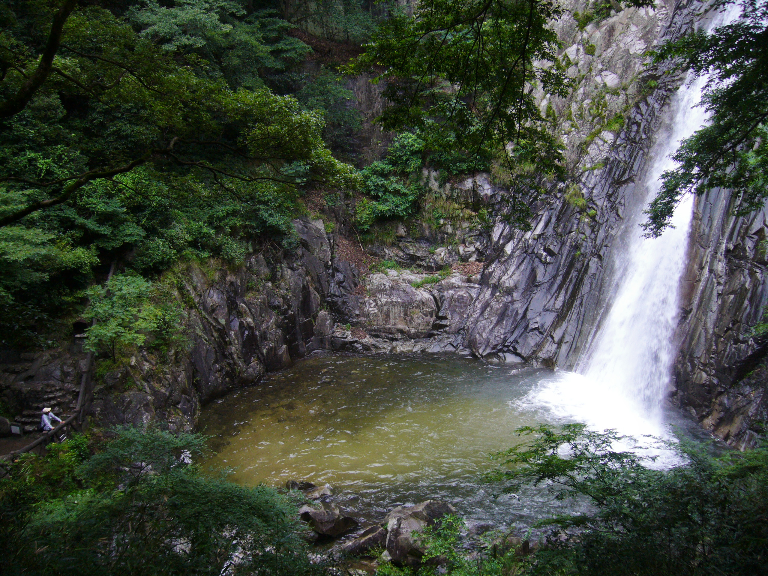
Gallery
-
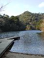
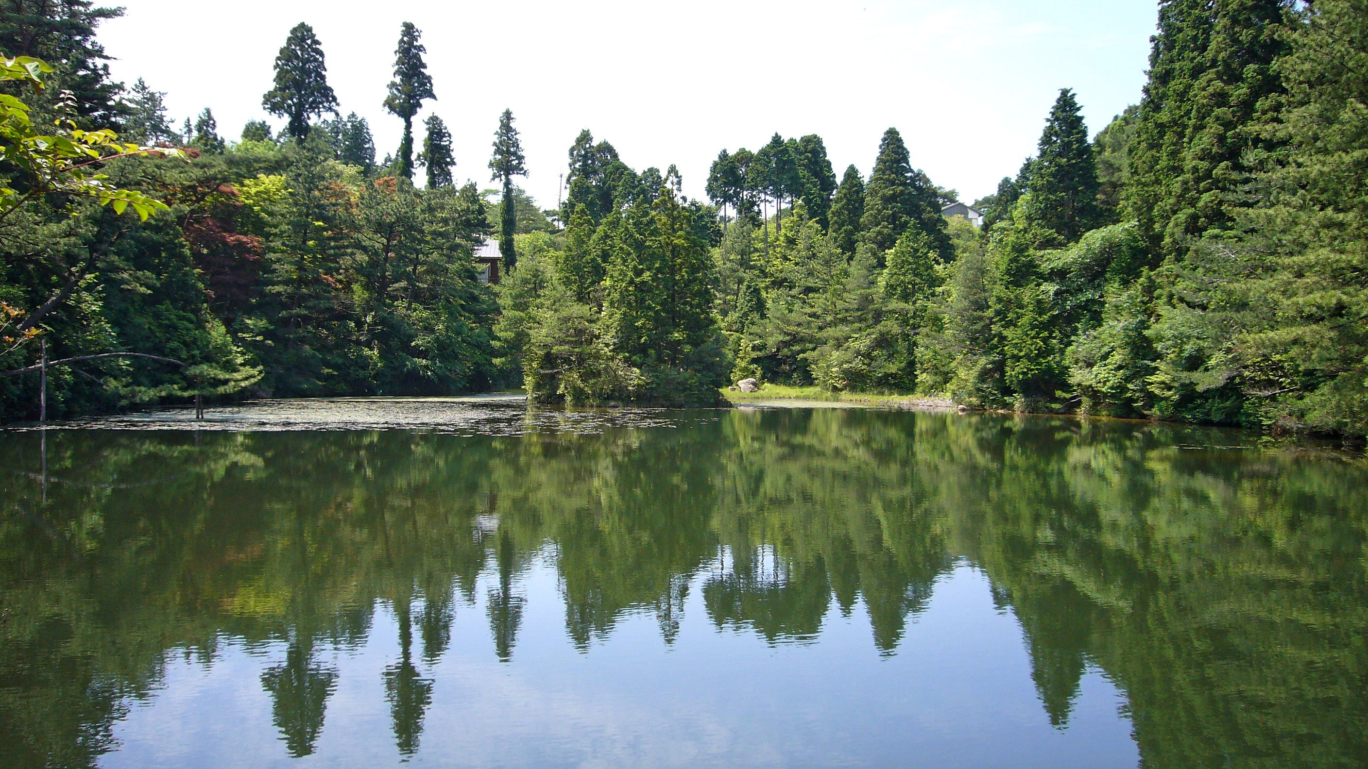
Lake Hotaka
-
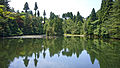
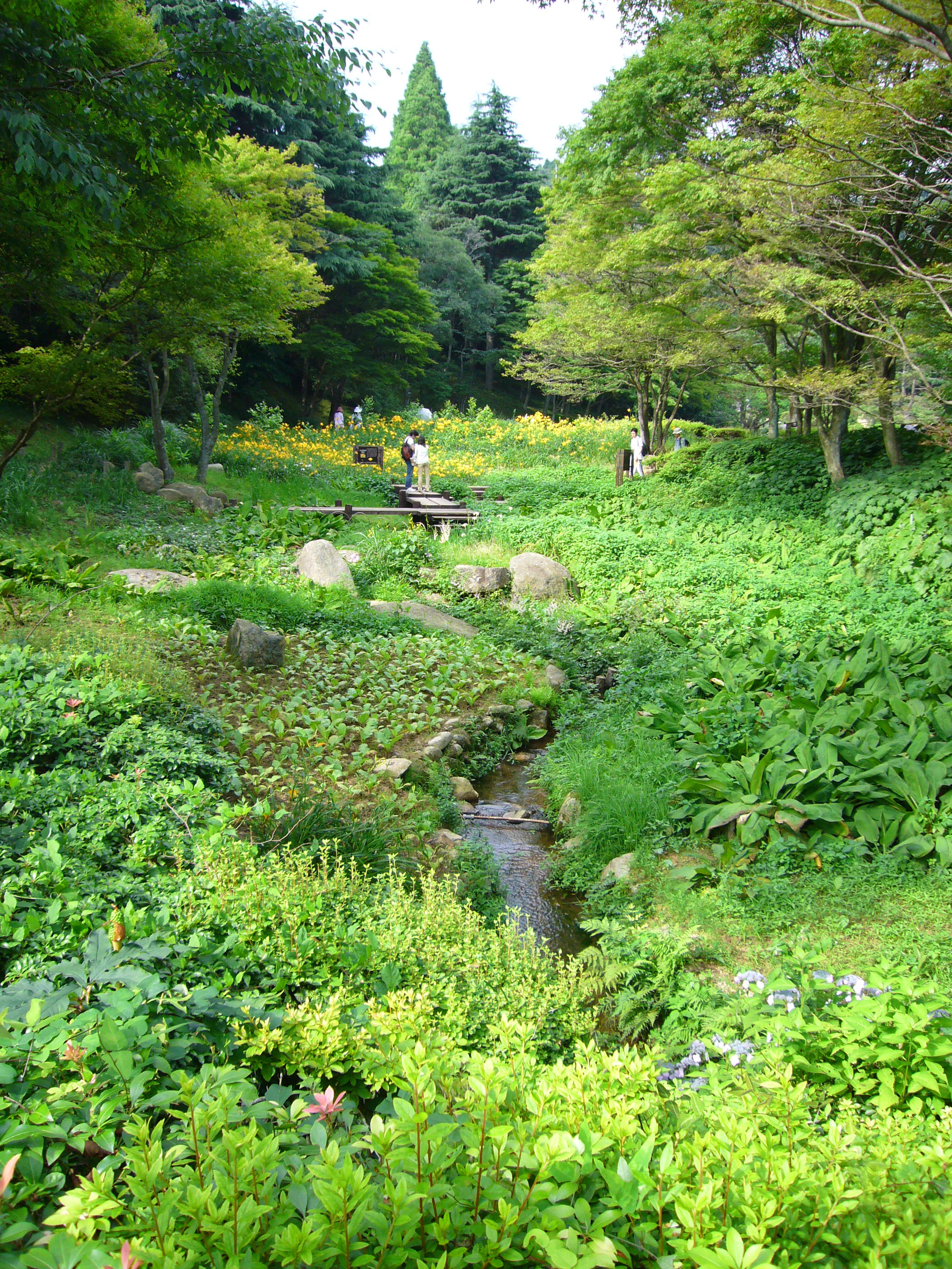
Lake Mikuni
-

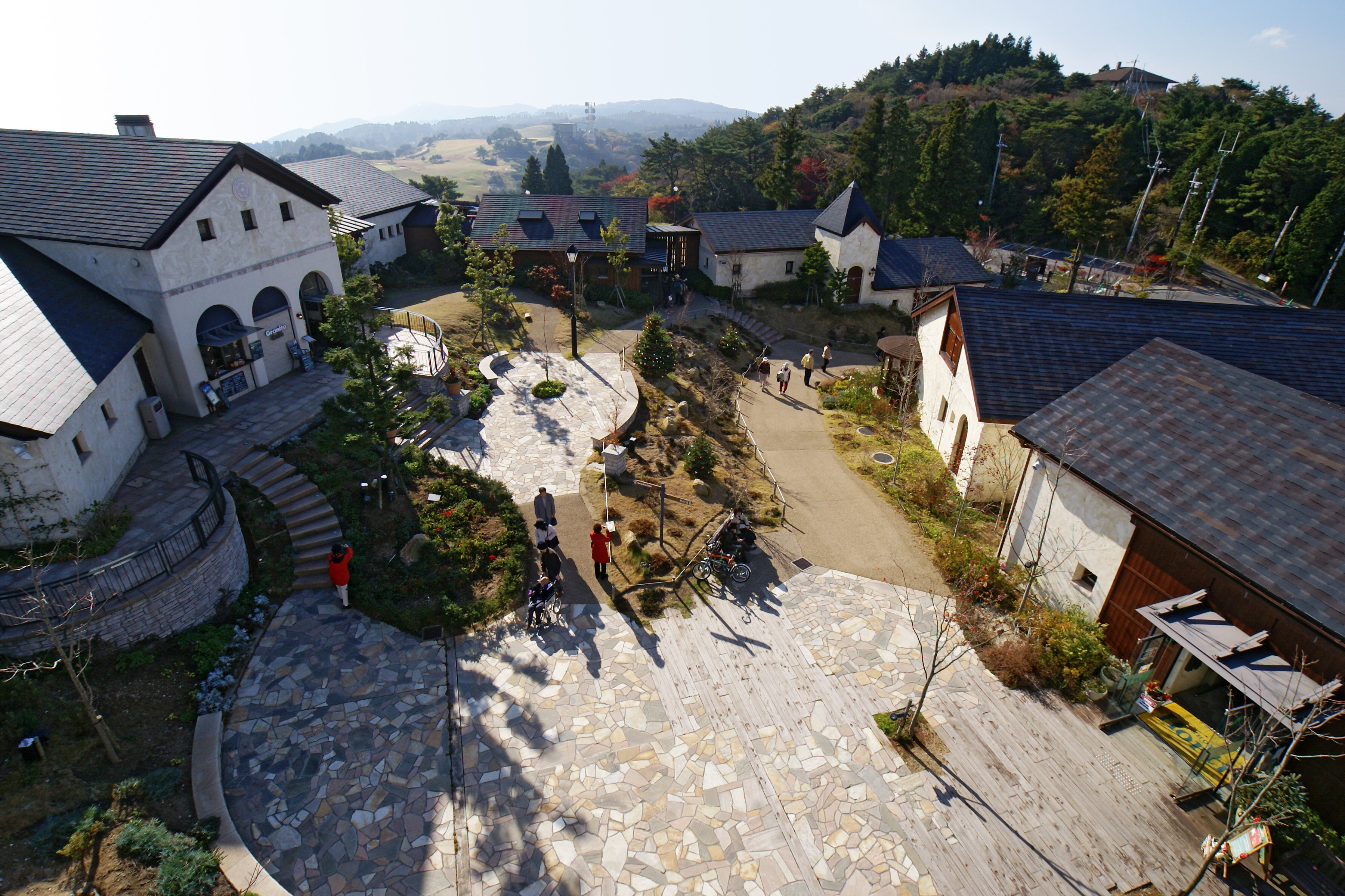
Rokko Garden Terrace
-
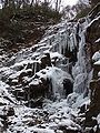
Frozen Nanamagari Waterfall
See also
- Hōrai Valley
- Kamakura Valley
- Rokkō oroshi - gale blowing down from Mt. Rokkō
- Rokkō oroshi (song)
- Rokkō Island - artificial island south of Kobe
External links
- Japan-guide.com Mount Rokkō
Categories:- Mountains of Hyōgo Prefecture
- Kobe
- Visitor attractions in Hyōgo Prefecture


Wikimedia Foundation. 2010.