- Geladaindong Peak
-
Geladaindong 
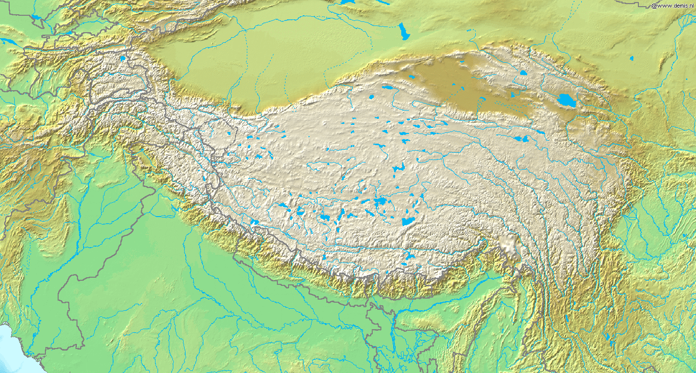
The glaciers of the Tanggula Mountains, the source of the Yangtze RiverElevation 6,621 m (21,722 ft) [1] Prominence 1,541 m (5,056 ft) [1] Listing Ultra Location Location in China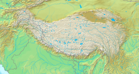
 Geladaindong
Location Qinghai,  China
ChinaRange Tanggula Coordinates 33°29′45″N 91°10′03″E / 33.49583°N 91.1675°ECoordinates: 33°29′45″N 91°10′03″E / 33.49583°N 91.1675°E[1] Climbing First ascent 1985 by a Japanese team
Geladaindong Peak (also spelled Geladandong or Geladaintong) is a snow-covered mountain (or massif) located in southwestern Qinghai province of China near the border of Tibet.[2] It is the tallest mountain in the Tanggula Mountain Range of the Tibetan Plateau with an elevation of 6,621 metres (21,722 ft) above sea level. The source of the Yangtze River, begins with glaciers on its surface.The mountain's name is Geladaindong in the Tibetan language. The name in Chinese is 各拉丹东 (pinyin: Gèlādāndōng) or 各拉丹东峰 (pinyin: Gèlādāndōng Fēng; literally "Geladandong Peak").
Contents
Location
Geladaindong is located in the administrative unit known as Tanggula Town: an exclave of Haixi Prefecture, in the middle section of Tanggula Shan (the Tanggula Mountain Range).
The Geladaindong Peak is encircled by over twenty high peaks exceeding 6,000 meters in height. It is approximately 50 km long from north to south and approximately 20 km wide from west to east, covering an area of approximately 670 square kilometers (260 mi²) with ice and snow, engulfed by over 40 glaciers. This area is directly across the border from Amdo County, Nagqu Prefecture, Tibet Autonomous Region.
The Qinghai-Tibet Railway crosses the Tanggula Mountain Range around 100 km to the east of Geladaindong Peak.
Climate
Due to the area's arid climate, its annual precipitation is only 200 mm. In the high-altitude area of over 5000 meters, however, there exists violent local air circulation and its yearly precipitation is several hundred mm more than that in the foothill area. Thus, snow and hailstones frequently fall, presenting conditions for the development of glaciers. The average temperature is −5 °C, and the hottest months are from June to August with a temperature of over 20°C, while the coldest month is January, with a temperature of −18 °C. In the high-altitude area of over 5000 m, it remains cold all year round, the lowest temperature being less than −30 °C.
Wildlife
The mountain serves as a shelter for more than twenty kinds of wild animals, including the white-lipped deer, Asiatic wild ass, snow leopard, and alpine snowcock.
Climbing
Geladaindong was first climbed by Japanese team in 1985 after three years of trying to obtain a permit.[3] They ascended the peak via the northwest ridge approaching from the northeast.
In 1997 an American team climbed a new route up the northeast face (55–60°).[3] The team consisted of William N. Rom M.D., Dan Luchtel PhD, and Mark Newcomb. Mark Newcomb also pioneered a face solo route on the same expedition. Mark Newcomb was a guide with Exum Guides from Grand Teton National Park.
Although a dangerous peak to climb, Geladaindong is popular among Chinese mountain climbers. In 1994, the Mountaineering Association of Peking University (MAPKU) became the first Chinese climbing team to reach the summit of Geladaindong.
References
External links
Categories:- Geography of Tibet
- Mountains of China
- Nagqu Prefecture
- Geography of Qinghai

Wikimedia Foundation. 2010.