- Monument Peak (Milpitas, California)
-
Monument Peak 
Elevation 2,598 ft (792 m) NAVD 88[1] Location Location Alameda / Santa Clara counties, California, USA Coordinates 37°29′05″N 121°51′57″W / 37.484636136°N 121.865796292°WCoordinates: 37°29′05″N 121°51′57″W / 37.484636136°N 121.865796292°W[1] Topo map USGS Calaveras Reservoir Climbing Easiest route Hike Monument Peak is a peak located southeast of Fremont and northeast of Milpitas, California, in the United States. It is part of a ridge that include Mount Allison and Mission Peak and forms part of the border between Alameda County, and Santa Clara County. Monument Peak is county park property. It can be reached via a gated road, or via trails from Levin Park in Santa Clara County, or Mission Peak Park in Alameda County.
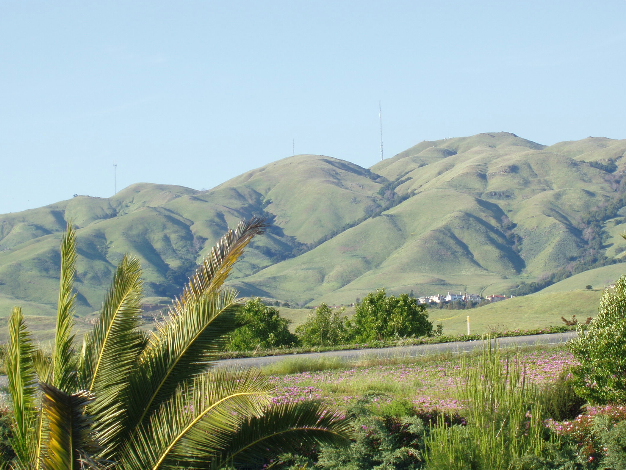
Built on July 1, 1988, an antenna on Monument Peak broadcasts channels 36 (Action 36, KICU) and 54 (PBS, KTEH). It is a free-standing structure 605.2 feet (184.4 meters) above ground level.[2] In the image above, the Monument Peak antenna is the tallest one seen (far right). The peak is the point directly right of the antenna. The antenna to the far left is on Mount Allison.
There is another Monument Peak in San Diego county that has an elevation of 6,200'. And there is a Monument Peak in San Bernardino County, 2379 feet above sea level (725 meters), which marks the northern most point on the Colorado River Indian Reservation boundary. It is a distinctive spire, visible from over 30 miles away.
References
- ^ a b "Monument 2". NGS data sheet. U.S. National Geodetic Survey. http://www.ngs.noaa.gov/cgi-bin/ds_mark.prl?PidBox=HS4923. Retrieved 2009-08-09.
- ^ "Antenna Structure Registration 1019291". Federal Communications Commission. http://wireless2.fcc.gov/UlsApp/AsrSearch/asrRegistration.jsp?regKey=121555. Retrieved 2009-08-09.
External links
Categories:- Mountains of Alameda County, California
- Mountains of Santa Clara County, California
- Mountains of the San Francisco Bay Area
- Buildings and structures in Milpitas, California
- Alameda County, California geography stubs
- Santa Clara County, California geography stubs
Wikimedia Foundation. 2010.