- Moel yr Ogof
-
Moel yr Ogof 
Moel yr Ogof from Moel Hebog with Moel Lefn behind.Elevation 655 m (2,149 ft) Parent peak Moel Hebog Listing Hewitt, Nuttall Translation hill of the cave (Welsh) Location Location Snowdonia, Gwynedd,  Wales
WalesRange Moel Hebog Coordinates 53°00′31″N 4°09′12″W / 53.0086°N 4.1534°WCoordinates: 53°00′31″N 4°09′12″W / 53.0086°N 4.1534°W Topo map OS Landranger 115 OS grid SH565469 Moel yr Ogof is a summit in Snowdonia. It is a subsidiary summit of Moel Hebog and a sister peak to the lower Moel Lefn.
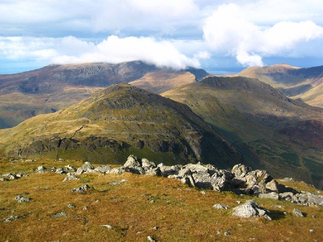
Owain Glyndwr's cave can be found on the cliff at the western flank of the mountain. The Beddgelert Forest lies directly to the north east, while Cwm Pennant lies to the west. Good views of the Nantlle ridge to the north are observed.[1]
References
- ^ Nuttall, John & Anne (1999). The Mountains of England & Wales - Volume 1: Wales (2nd edition ed.). Milnthorpe, Cumbria: Cicerone. ISBN 1-85284-304-7.
External links
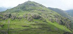 Moel yr Ogof from Moel Hebog
 Categories:
- Hewitts of Wales
- Mountains and hills of Snowdonia
- Nuttalls
- Gwynedd geography stubs

Wikimedia Foundation. 2010.