- Moel y Cerrig Duon
-
Moel y Cerrig Duon 
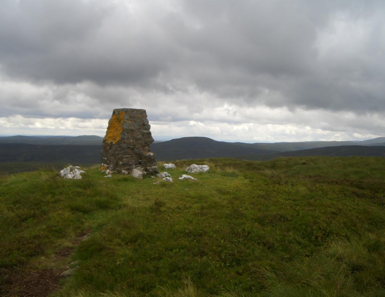
Moel y Cerrig Duon from Foel y Geifr summitElevation 625 m (2,051 ft) Parent peak Esgeiriau Gwynion Listing Hewitt, Nuttall Translation bare hill of the black rocks (Welsh) Location Location Gwynedd,  Wales
WalesRange Aran Fawddwy Topo map OS Landranger 125 Moel y Cerrig Duon is a subsidiary summit of Esgeiriau Gwynion in north east Wales.
Moel y Cerrig Duon tops the eastern end of a long peat pog plateau along with Llechwedd Du. Its summit has a conicol shape, rising suddenly from the bog. The summit itself is grassy, marked by a smll cairn and a stake. To the north-east is Foel y Geifr, to the east Cyrniau Nod and to the west is Llechwedd Du, Esgeiriau Gwynion and Aran Fawddwy.
The Aran range continues south from Moel y Cerrig Duon forming a large area of high moorland to the west of Lake Vyrnwy, crowned by Mynydd Coch. To the north it continues to Foel y Geifr, the eastern outpost of the Aran Fawddwy range.[1]
References
- ^ Nuttall, John & Anne (1999). The Mountains of England & Wales - Volume 1: Wales (2nd edition ed.). Milnthorpe, Cumbria: Cicerone. ISBN 1-85284-304-7.
External links
Coordinates: 52°52′48″N 3°22′55″W / 52.88011°N 3.38191°W
Categories:- Hewitts of Wales
- Mountains and hills of north Wales
- Mountains and hills of Snowdonia
- Nuttalls
- Gwynedd geography stubs
Wikimedia Foundation. 2010.