- Moel y Gaer, Bodfari
-
For other places with the same name, see Moel y Gaer.
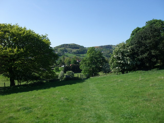
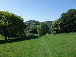 Moel y Gaer on the horizon, from the Offa's Dyke Path
Moel y Gaer (Welsh for "bald hill of the fortress") is a prehistoric hill fort at the northern end of the Clwydian Range, located on a summit overlooking the valley of the River Wheeler, near the village of Bodfari, Denbighshire, Wales. The Offa's Dyke Path passes along the foot of the hill.
The fort at Moel y Gaer is one of the smallest of the chain of defensive works found along the Clwydians. It probably dates from the Iron Age, although there is no definitive evidence to establish the exact period during which it was occupied. It has a single entrance on its northern side and is defended by a steep slope on the eastern side of the hill.[1]
See also
References
- ^ "The Vale of Clwyd: Bodfari, Bodfari, Denbighshire". Historic Landscape Characterisation. Clwyd-Powys Archaeological Trust. http://www.cpat.org.uk/projects/longer/histland/clwyd/1054.htm. Retrieved 26 September 2009.
External links
Categories:- Hill forts in Wales
- Archaeological sites in Denbighshire
- Clwyd geography stubs
Wikimedia Foundation. 2010.