- Nantlle Ridge
-
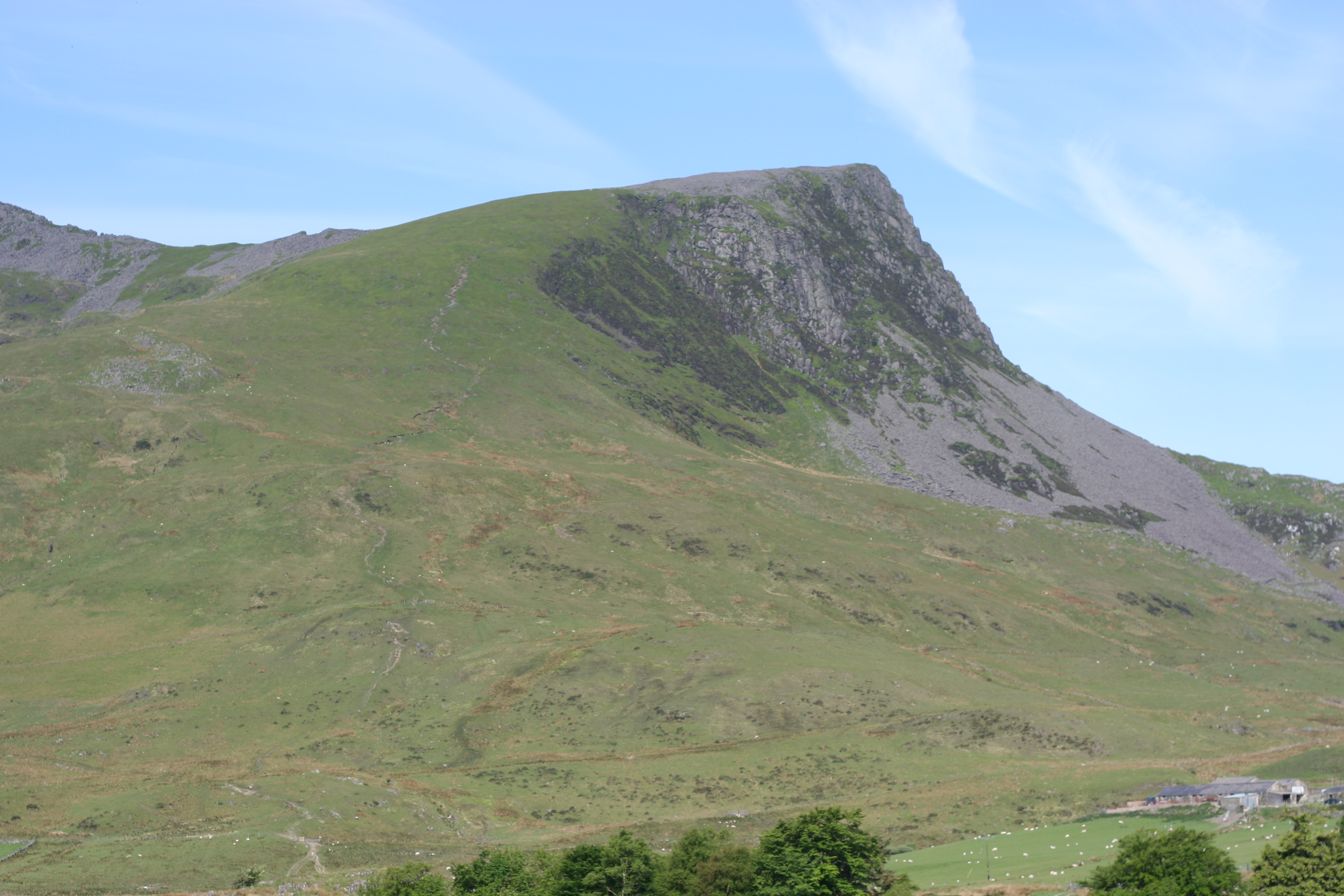
 Y Garn, the usual starting point for the Nantlle Ridge walk, seen from Rhyd Ddu
The Nantlle Ridge is the name given to a small range of mountains in Snowdonia, north Wales which runs south-west from the village of Rhyd Ddu for a distance of about 9 km (6 mi), ending above Talysarn and Nebo in the Nantlle Valley.
The Nantlle Ridge offers excellent hill walking with fewer crowds than on the more popular parts of Snowdonia. It can be started from either end, but the Rhyd Ddu end tends to be the most popular. There are no great technical difficulties, although a little scrambling may be required on some parts of the ridge.
Summits
Starting from the Rhyd Ddu end, the Nantlle Ridge is composed of the following peaks (see hill lists in the British Isles for an explanation of the terms "Nuttall", "Hewitt" and "Marilyn"):
- Y Garn (633 metres (2,077 ft)); SH551526) — sub-Hewitt, Nuttall
- Mynydd Drws-y-Coed (695 metres (2,280 ft)); SH548518) — Hewitt, Nuttall
- Trum y Ddysgl (709 metres (2,326 ft)); SH544516) — Marilyn, Hewitt, Nuttall
- Mynydd Tal-y-Mignedd (653 metres (2,142 ft)); SH535514) — Hewitt, Nuttall
- Craig Cwm Silyn (734 metres (2,408 ft)); SH521501) — Marilyn, Hewitt, Nuttall
- Garnedd Goch (701 metres (2,300 ft)); SH511495) — sub-Hewitt, Nuttall
- Mynydd Graig Goch (610 metres (2,001 ft)); SH497485)— Hewitt, Nuttall
Craig Cwm Silyn is the highest point on the ridge, and can be reached by following the minor road running from Llanllyfni towards Llynnau Cwm Silyn, or as part of a traverse of the Nantlle Ridge from Rhyd Ddu. The crag of Craig yr Ogof is popular with rock climbers.
References
- Terry Marsh (1993) The summits of Snowdonia (Robert Hale) ISBN 0-7090-5248-0
External links
Categories:- Mountains and hills of Snowdonia
- Hewitts of Wales
- Marilyns of Wales
- Nuttalls
Wikimedia Foundation. 2010.