- Melrose District, Los Angeles
-
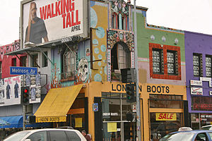 Popular shopping on Melrose Avenue
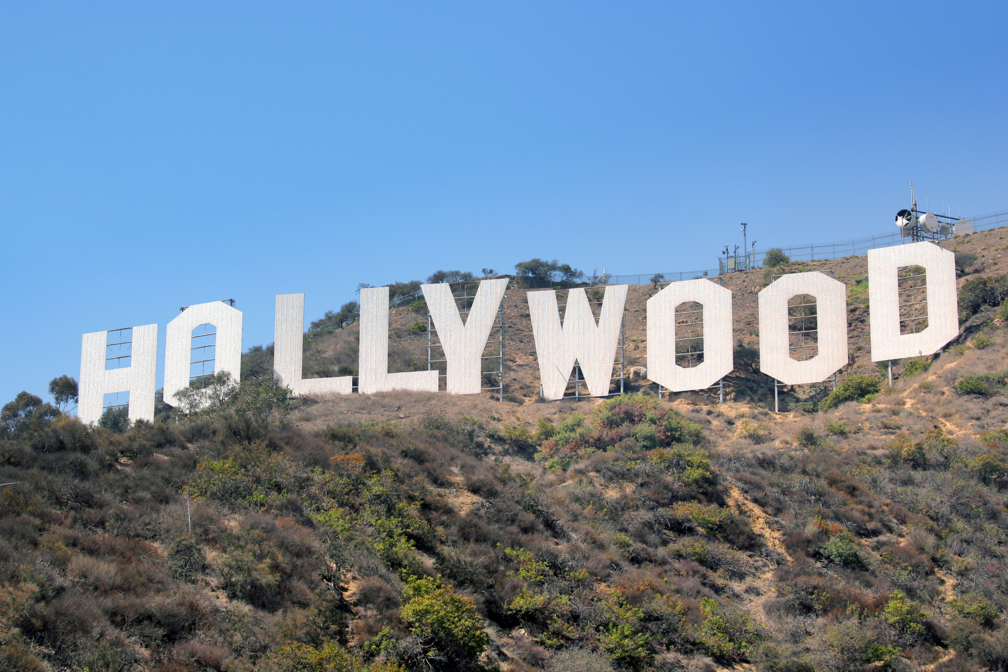
Melrose District is a commercial and residential community in the Hollywood district of the City of Los Angeles, California.
The term "Melrose District" may be used interchangeably by some with the "Fairfax District" which is a nearby area lacking strictly defined boundaries. However, the Melrose district, a sub-district of the Fairfax district or not, refers to the alternative shops, and restaurants lining Melrose Avenue chiefly between Fairfax Ave, and Highland Avenue, but also as far as La Cienega Blvd. It also refers to its immediate adjacent residential areas.
The designated name at the time of annexation in 1922 by the city of Los Angeles was "Melrose", with boundaries stretching the length of Melrose Ave from East of Highland Ave and extending West of Crescent Heights Blvd approaching La Cienega Blvd. The Southern boundary largely followed Melrose Ave, but extended further South including areas bordered by Fairfax Ave to the East, Rosewood Ave to the South and extending to the West Hollywood boarder past Sweetzer Ave to the West. The Northern boundary followed largely along what is today the City of West Hollywood.
Annexation references: Annexation and Detachment Map (PDF) lacity.org.
City of Los Angeles Topics History • Transportation • Culture • Landmarks • Historic sites • Skyscrapers • Demographics • Crime • Sports • Media • Music • Notable people • Lists
Government Flag • Mayors • City Council • Other elected officials • Airport • DWP • Fire Department • Police • Public schools • Libraries • Port • TransportationRegions Downtown • Eastside/Northeast • Harbor Area • Greater Hollywood • Westlake & Silver Lake/Los Feliz • San Fernando and Crescenta Valleys • South Los Angeles • Westside • WilshireGreater Hollywood Districts and
neighborhoodsBeachwood Canyon · Cahuenga Pass · East Hollywood · Hollywood · Hollywood Dell · Hollywood Heights · Hollywood Hills · Laurel Canyon · Little Armenia · Melrose District · Melrose Hill · Nichols Canyon · Outpost Estates · Spaulding Square · Sunset Hills · Thai Town · Virgil Village · Whitley Heights · Yucca Corridor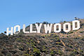
Points of
interestSee also Downtown · Eastside/Northeast · Harbor Area · Greater Hollywood · Westlake/Silver Lake/Los Feliz · San Fernando and Crescenta Valleys · South Los Angeles · Westside · Wilshire Coordinates: 34°05′01″N 118°21′12″W / 34.083556°N 118.353369°W
Categories:- Neighborhoods in Los Angeles, California


Wikimedia Foundation. 2010.