- McKittrick Tar Pits
-
35°18′20″N 119°37′21″W / 35.30556°N 119.6225°W
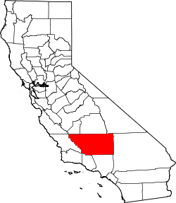 Overview map, Kern County in southern California
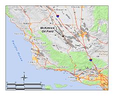 Situation map, The McKittrick Oil Field area
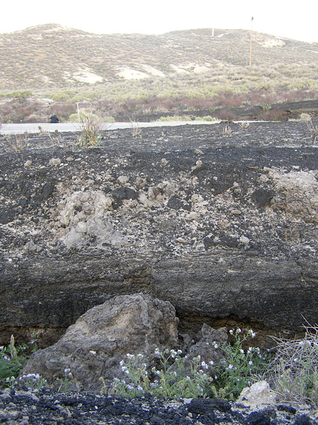
 Tar seep north of Highway 58
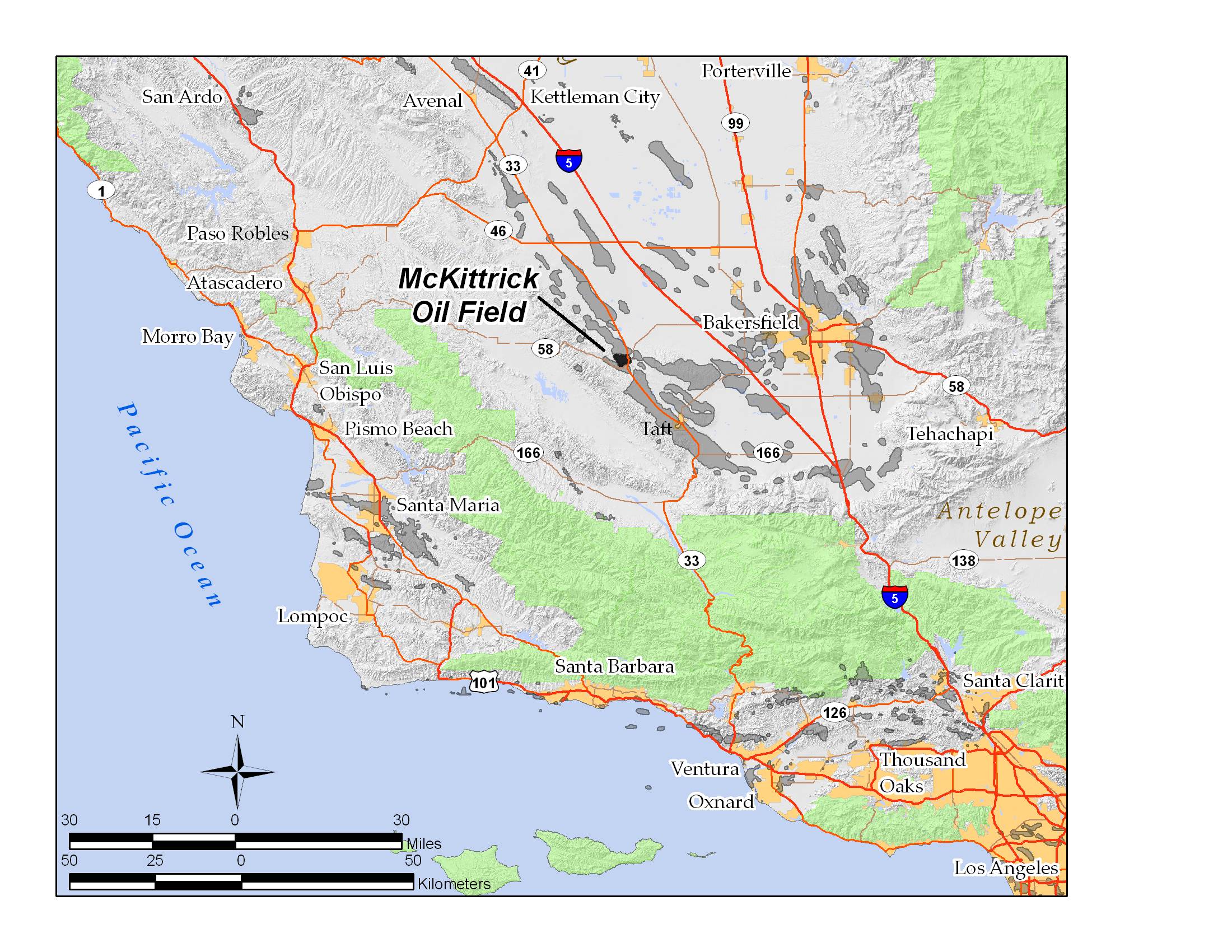
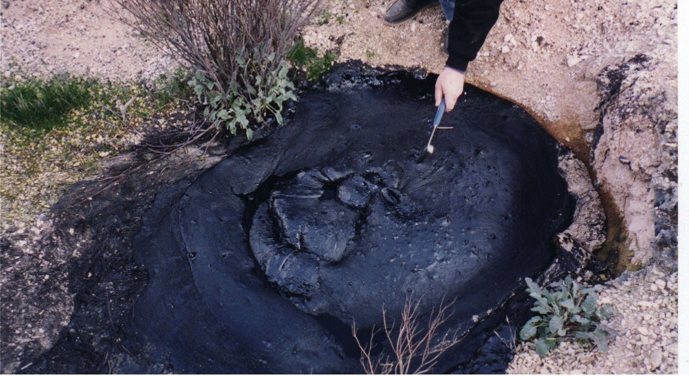
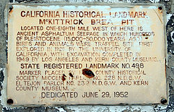 Historical landmark sign
The McKittrick Tar Pits (also McKittrick Oil Seeps and McKittrick Brea Pits) are a series of natural asphalt lakes situated in the western part of Kern County in southern California. The pits are the most extensive asphalt lakes in the state. [1]
The McKittrick Tar Pits are one of the five natural asphalt lake areas in the world, the others being Tierra de Brea in Trinidad and Tobago, Lake Guanoco in Venezuela and the Rancho La Brea Tar Pits (Los Angeles) and Carpinteria Tar Pits (Carpinteria) both also located in the US state of California. [2]
Contents
Geography
The McKittrick Tar Pits are located in the southern part of the San Joaquin Valley about 50 km (31 mi) west of Bakersfield and 0.8 km (0.50 mi) south of the town of McKittrick. [3]
Most of the tar pits are located along the south western part of the intersection of California State Route 58 and 33 [3] and generate from the underlying McKittrick Oil Field. The pits stretch over a distance of about 6.5 km (4.0 mi).
Geology
All asphalt lakes were probably created during the Pleistocene epoch and share the same geological principle.
The creation of an asphalt lake is related to deep faults between two tectonic plates. In connection with subduction, pressure is created against underlying oil source rock. [4] [2]
The oil moves towards the surface and slowly transforms into bitumen and on the way through the lithosphere picks up clay and water, and is cooled into asphalt. Lighter hydrocarbon fractions volatilize on contact with the atmosphere, leaving behind the heavier fractions, which are principally asphaltum.
History
It is unknown when the McKittrick Tar Pits were discovered, as they have been known for a long time by the local Native American Yokut people who mined the asphalt and used it as a sealant for waterproofing, decoration, and even for trade. [1] [5] [6]
In the 1860s, San Joaquin Valley settlers mined the tar pits both from open pits and shafts and the first commercial exploitation occurred by the "Buena Vista Petroleum Company".
The tar pits have trapped and preserved hundreds of Pleistocene Age birds and animals [7] The first paleontological studies were conducted between 1900 and 1910, in 1928 the first major studies were conducted by a paleontological team from the University of California, the excavations were completed in 1949 by teams from the Natural History Museum of Los Angeles County and the Kern County Museum. By 1968 more than 43 different mammals and 58 different birds had been identified. [1] [3] [6]
On June 29, 1952 the McKittrick Tar Pits were registered a California Historical Landmark. [3]
References
- ^ a b c [1], Buena Vista Museum of Natural History, accessdate=2010-09-12
- ^ a b [2], Suburban Emergency Management Project (SEMP), accessdate=2010-09-12
- ^ a b c d [3], Office of Historic Preservation, State of California, accessdate=2010-09-12
- ^ [4], Geological Society of Trinidad and Tobago, principle for an asphalt lake, accessdate=2010-09-12
- ^ [5], Stanford University, CGI, accessdate=2010-09-12
- ^ a b [6], Geocaching, accessdate=2010-09-12
- ^ [7], Berkeley Natural History Museums (BNMH), accessdate=2010-09-12
External links
Categories:- Asphalt lakes
- Natural history of California
- California Historical Landmarks
- National Natural Landmarks in California
- Paleontological sites of North America
- Pleistocene
- Lagerstätten


Wikimedia Foundation. 2010.