- McKenney Avenue
-
McKenney Avenue Bellerose Drive Maintained by: the City of St. Albert Length: 7.0 km (4.3 mi) Location: St. Albert West end: Ray Gibbon Drive Major
junctions:Ray Gibbon Drive, Mission Avenue, Dawson Road, St. Albert Trail, Boudreau Road, Erin Ridge Drive North end: City Limits (Coal Mine Road) 

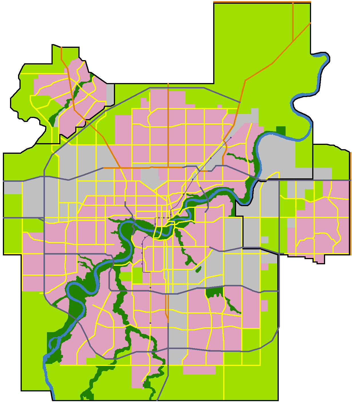
 Start, end points of McKenney Avenue, Bellerose Drive
McKenney Avenue and Bellerose Drive are arterial roads in St. Albert, Alberta, Canada. Like all arteries of St. Albert, it does not run straight, has no street number, and mostly runs through residential.
Neighbourhoods
List of neighbourhoods McKenney Avenue / Bellerose Drive runs through, in order from south to north.
- Mission Park
- Lacombe Park
- Inglewood
- Erin Ridge
- Oakmont
Interchanges and intersections
This is a list of major intersections, starting at the south end of McKenney Avenue.
References
Roads in Edmonton, Sherwood Park, and St. Albert, Alberta, Canada North-south streets - Clover Bar Road
- Broadmoor Boulevard
- Victoria Trail
- 34 Street
- 50 Street
- 66 Street
- 91 Street
- 97 Street
- Parsons Road (99 Street)
- Gateway Boulevard
- Calgary Trail (104 Street)
- 105 Street
- 109 Street
- 111 Street
- 113/114 Street
- 119/122 Street
- 124 Street
- 127 Street
- 156 Street
- Mayfield Road
- 170 Street
- Winterburn Road (215 Street)
East-west streets - Ellerslie Road (9 Avenue SW)
- 23 Avenue NW
- 34 Avenue NW
- Roper Road (51 Avenue)
- 61/63 Avenue
- Fox Drive
- University Avenue
- Whyte (82) Avenue
- 100 Avenue
- Baseline Road (101 Avenue)
- Jasper Avenue
- Stony Plain Road (101 Avenue)
- 107 Avenue (of Nations)
- 111/112 Avenue (Norwood Boulevard)
- 118 (Alberta) Avenue
- 137 Avenue
- 153 Avenue
- 167 Avenue
Other streets - Argyll Road
- Belgravia Road
- Bellerose Drive
- Boudreau Road
- Campbell Road
- Castle Downs Road
- Fort Road
- Giroux Road
- Hebert Road
- Kingsway (Avenue)
- McKenney Avenue
- Mill Woods Road
- Princess Elizabeth Avenue
- Queen Elizabeth Park Road
- St. Albert Trail
- Saskatchewan Drive
- Scona Road
- Sherwood Drive
- Sir Winston Churchill Avenue
- Walterdale Hill
Freeways and highways - 2 (QE2 Highway)
- 14
- 15 (Manning Drive)
- 16 (Yellowhead Trail)
- 16A
- 21
- 28
- 28A
- 37 (259 Avenue)
- Sherwood Park Freeway (100)
- Anthony Henday Drive (216)
- 627
- Whitemud Drive (628)
- Wye Road (630)
- Villeneuve Road (633)
- 814
- 825
- Groat Road
- Ray Gibbon Drive
- Terwillegar Drive
- Wayne Gretzky Drive
More  The Edmonton portalCategories:
- Roads in St. Albert, Alberta
- Alberta road stubs
- Edmonton stubs
Wikimedia Foundation. 2010.