- Mazraat En Nahr
-
Mazraat En Nahr
مزرعة النهر— Village — View of Mazraat En Nahr, Zgharta/Bsharri Location within Lebanon
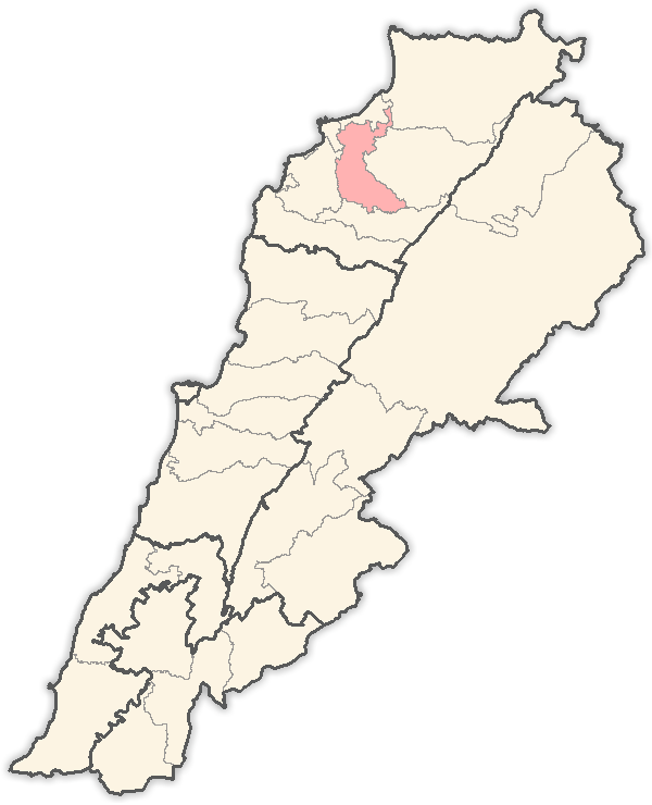
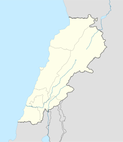
 Mazraat En Nahr
Coordinates: 34°15′07″N 35°53′54″E / 34.25194°N 35.89833°ECoordinates: 34°15′07″N 35°53′54″E / 34.25194°N 35.89833°E Country  Lebanon
Governorate North Governorate District Zgharta District Population (2010) – Total 378 Time zone EET (UTC+2) – Summer (DST) EEST (UTC+3) Postal code 33227 Dialing code +961 Website http://mazraatennahr.weebly.com/ Family Names - Bakhous
- Bakhos
- Bakous
- Bitar
- Dib
- Ghaleb
- Hawwa
- Massaad
- Michael
- Mouawad
- Moujalli
- Nasr
- Nassif
- Rawadi
- Saba
- Semaan
- Sleiman
- Yaacoub
- Yaghi
- Younan
- Zougbi
Mazraat En Nahr also spelt Mazret Al Nahr, Mazraat El Nahr or Mazraat Al Nahr; Arabic: مزرعة النهر is a village located on the border line of the Zgharta District and the Bsharri District in the North Governorate of Lebanon. It is situated in the Valley of Qadisha, which is considered a holy and spiritual place in Eastern Christianity.
The Lebanese hailing from Mazraat En Nahr number 20,000 worldwide. 98% of them live outside Lebanon, mainly in Australia and the United States. The population is Maronite Catholic.
Contents
General information
Mazraat En Nahr is a small but beautiful village in Zgharta, Lebanon which is situated in-between two major villages Tourza and Sereel. The name Mazraat Al Nahr is a Lebanese word meaning “Planting by the river” because of the beautiful Agriculture that consist of potatoes, onions, fruits and vegetables all by the side river of El Karya and El Ghar Spring. The people of Mazraat En Nahr on the other hand make up a population of about of about 378 people but not official census has been taken lately. Most of the inhabitants of Mazraat En Nahr were a mixture of many peoples. The majority were Canaanites, Phoenician and Aramiin, who later became known as the Syriac.
Agriculture: Potatoes, Onions, Fruits and Vegetables.
Water Source: El Karya spring and El Ghar spring.
Celebrations: The feast of Mar Youssef, 19 March.Directions
Distance from Beirut: 98 km. Distance from Tripoli: 24 km. Distance from Zgharta: 19 km. Altitude: 567 m.
▪Roads To Get There: Tripoli - Zgharta - Kfar Hata - Aarjis - Kfar Fou - Karm Seddeh - Sereel - Mazraat En Nahr. Or Via: Ehden - Sereel - Mazraat En Nahr.
Closest Hotels
Saqiyat al `Abd - 2 km or 2 miles
Saqiet el Abd - 2 km or 2 miles
Mgharet Abou Aali - 4 km or 3 miles
Magharat Abu `Ali - 4 km or 3 miles
Dahr Abou Taiya - 6 km or 4 miles
Dahr Abu Tayyah - 6 km or 4 miles
Ed Doueir - 6 km or 4 miles
Saqiet el Aakre - 2 km or 1 miles
Saqiyat al `Akirah - 2 km or 1 miles
Harf el Aalem - 5 km or 3 miles
Harf al `Alam - 5 km or 3 miles
Al `Aqabah - 2 km or 2 miles
El Aaqabe - 2 km or 2 miles
Qada' `Alayh - 3 km or 2 miles
Al Baruk - 6 km or 4 milesExternal links
Capital: ZghartaTowns and villages Aarjes · Aintourine · Aitou · Alma · Arbet Kozhaya · Ardeh · Ashashe · Aslout · Asnoun · Basloukit · Bchennine · Beit Awkar · Beit Obeid · Besbeel · Bhairet Toula · Bnachii · Bousit · Daraya · Ehden · Ejbeh · Fraydiss · Haret Al Fawar · Harf Ardeh · Harf Miziara · Hawqa · Hilan · Houmeiss · Iaal · Jdaydeh · Kadrieh · Karahbache · Karmsaddeh · Kfardlakos · Kfarfou · Kfarhawra · Kfarsghab · Kfarshakhna · Kfarhata · Kfaryachit · Kfarzeina · Khaldieh · Kifraya · Mazraat Al Nahr · Mazraat Al Toufah · Mazraat Hraikis · Mejdlaya · Miriata · Miziara · Sakhra · Morh Kfarsghab · Rachiine · Raskifa · Sebhel · Sereel · Toula · Zgharta

Notable landmarks Kadisha Valley · Monastery of Qozhaya · Mar Sarkis, Ehden · Iaal Fortress
History Notable people Suleiman Frangieh · Rene Moawad · Hamid Frangieh · Nayla Moawad · Estephan El Douaihy · Tony Frangieh · Youssef Karam · Youakim Moubarac · Father Estephan Frangieh
Categories:- Populated places in the North Governorate
- Zgharta District


Wikimedia Foundation. 2010.