- Matabeleland South Province
-
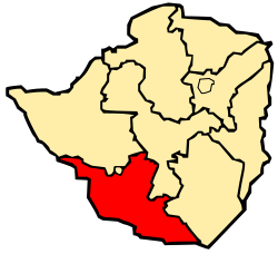
Matabeleland South is a province of Zimbabwe. It has an area of 54,172 km² and a population of approximately 650,000 (2002). Gwanda is the capital of the province.
Geography
The province sits on the edge of the Kalahari desert, hence it is arid and very dry.
Matabeleland South districts
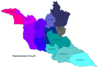
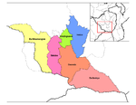
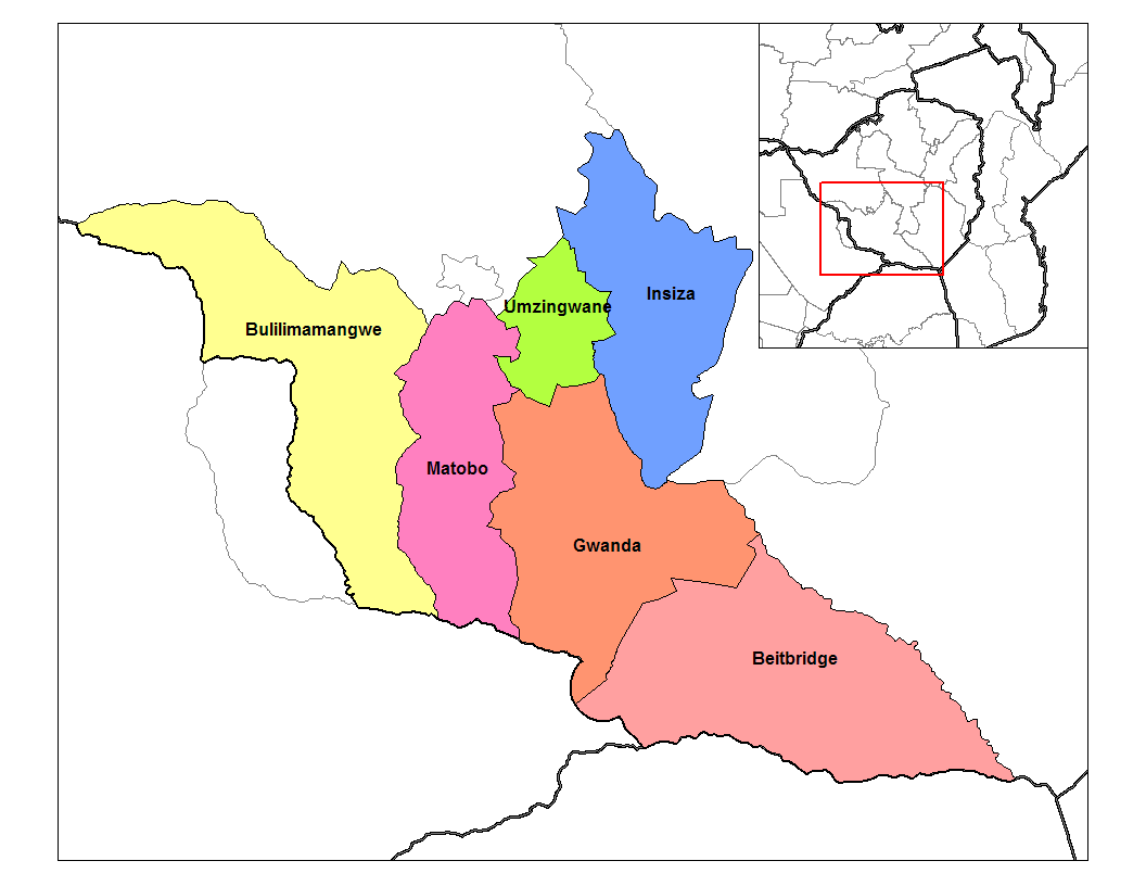
The province is divided into 6 districts, Beitbridge, Bulilimamangwe, Gwanda, Insiza, Matobo and Umzingwane.
See also
- Matabele people
- Bulawayo
- Provinces of Zimbabwe
- Districts of Zimbabwe
Subdivisions of Zimbabwe Provinces Bulawayo · Harare · Manicaland · Mashonaland Central · Mashonaland East · Mashonaland West · Masvingo · Matabeleland North · Matabeleland South · MidlandsDistricts Beitbridge · Bikita · Bindura · Binga · Bubi · Buhera · Bulawayo · Bulilimamangwe · Chegutu · Chikomba · Chimanimani · Chipinge · Chiredzi · Chirumhanzu · Chivi · Gokwe North · Gokwe South · Goromonzi · Guruve · Gutu · Gwanda · Gweru · Harare · Hurungwe · Hwange · Hwedza · Insiza · Kadoma · Kariba · Kwekwe · Lupane · Makonde · Makoni · Marondera · Masvingo · Matobo · Mazowe · Mberengwa · Mount Darwin · Mudzi · Mukumbura · Murehwa · Mutare · Mutasa · Mutoko · Muzarabani · Mwenezi · Nkayi · Nyanga · Rushinga · Seke · Shamva · Shurugwi · Tsholotsho · Umguza · Umzingwane · Uzumba-Maramba-Pfungwe · Wedza · Zaka · Zvimba · ZvishavaneWards Largest cities Coordinates: 21°00′S 29°30′E / 21°S 29.5°E
Categories:- Provinces of Zimbabwe
- Matabeleland South
- Zimbabwe geography stubs


Wikimedia Foundation. 2010.