- Zaka District
Infobox Settlement
name = Zaka District
official_name =
other_name =
native_name =
nickname =
settlement_type =District
total_type =
motto =
imagesize =
image_caption =
flag_size =
image_
seal_size =
image_shield =
shield_size =
image_blank_emblem =
blank_emblem_type =
blank_emblem_size =
mapsize = 200px
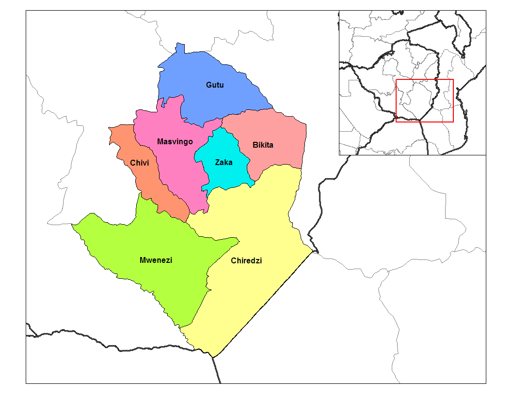
map_caption = Districts of Masvingo province
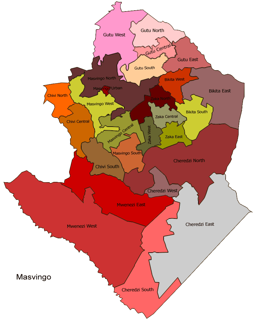
mapsize1 = 150px
map_caption1 =Masvingo constituency seats for the 2008, showing the division of Zaka (District)
image_dot_
dot_mapsize =
dot_map_caption =
dot_x = |dot_y =
pushpin_
pushpin_label_position =
pushpin_map_caption =
pushpin_mapsize =
subdivision_type =Country
subdivision_name =Zimbabwe
subdivision_type1 = Province
subdivision_name1 = Masvingo
subdivision_type2 = District
subdivision_name2 = Zakaseat_type =
seat =
parts_type =
parts_style =
parts =
p1 =
p2 =government_footnotes =
government_type = Rural Council
leader_title =
leader_name =
leader_title1 =
leader_name1 =
established_title = 19th century
established_date =area_magnitude =
unit_pref =
area_footnotes =
area_total_km2 =
area_land_km2 =
area_water_km2 =
area_total_sq_mi =
area_land_sq_mi =
area_water_sq_mi =
area_water_percent =
elevation_footnotes =
elevation_m =
elevation_ft =
elevation_max_m =
elevation_max_ft =
elevation_min_m =
elevation_min_ft =
population_as_of =
population_footnotes =
population_note =
population_total =
population_density_km2 =
population_density_sq_mi =
timezone=CAT
utc_offset=+2
timezone_DST=CEST
utc_offset_DST=+1
coor_type =
latd=20 |latm=05 |lats= |latNS=S
longd=31 |longm=37 |longs= |longEW=E
postal_code_type =
postal_code =
area_code =
website =
footnotes =Zaka is a district in
Masvingo Province ,Zimbabwe and is located 86 km southeast fromMasvingo in the Ndanga communal land. The village was established in1923 and lies in a very low-lying area hence theShona derived name "kwo-ka-zaka" which means "to where it is going down".Background
Zaka district is a typical smallholder farming area, with poor soils and fickle rainfall. Farmers grow mainly
sorghum andcowpea , which tolerate drought better than most crops.Health care
There is a high prevalence of
HIV/AIDS in the district. An estimated 43 percent of the population has the disease. [ HIV/AIDS [http://devb.wrenhill.com/thenews/fromthefield/241510/114312671071.htm] ]References
tfd|ZakaDistrictNavbox
name =ZakaDistrict
state = autocollapse
title =Zaka (District)
group1 = Business Centers
list1 = Jerera
group2 = Place & Names
list2 =
Wikimedia Foundation. 2010.