- Marshland, Oregon
-
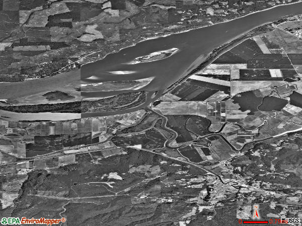
Marshland, Oregon — Unincorporated community — An aerial view of Marshland
 Marshland, Oregon
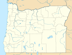
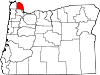
Coordinates: 46°06′40″N 123°17′10″W / 46.111°N 123.286°WCoordinates: 46°06′40″N 123°17′10″W / 46.111°N 123.286°W Country United States State Oregon County Columbia Area – Land 22.4 sq mi (58 km2) Elevation 53 ft (16 m) Population (July 2007) – Total 462 – Density 21/sq mi (8.1/km2) Time zone Pacific (PST) (UTC-8) – Summer (DST) PDT (UTC-7) Marshland, formerly known as Skunk Cabbage Flat, is an unincorporated community in Columbia County, Oregon, United States.[1][2] It was settled by Z.B. Bryant in 1862. Its post office was established around 1873. It closed in 1960.[2] As of July 2007, Marshland's population is 462 and the population density is 21 people per square mile.[3]
References
- ^ "Marshland". Geographic Names Information System, U.S. Geological Survey. http://geonames.usgs.gov/pls/gnispublic/f?p=gnispq:3:::NO::P3_FID:1123796. Retrieved 2010-12-15.
- ^ a b McArthur, Lewis A.; McArthur, Lewis L (2003 [1928]). Oregon geographic names. Portland, Oregon: Oregon Historical Society Press. p. 613. ISBN 0-87595-277-1.
- ^ "Marshland, Oregon". City-Data.Com. Retrieved 2010-12-15.
Municipalities and communities of Columbia County, Oregon Cities Clatskanie | Columbia City | Prescott | Rainier | St. Helens | Scappoose | Vernonia
Unincorporated
communitiesCategories:- Unincorporated communities in Columbia County, Oregon
- Oregon geography stubs


Wikimedia Foundation. 2010.