- Otonabee
-
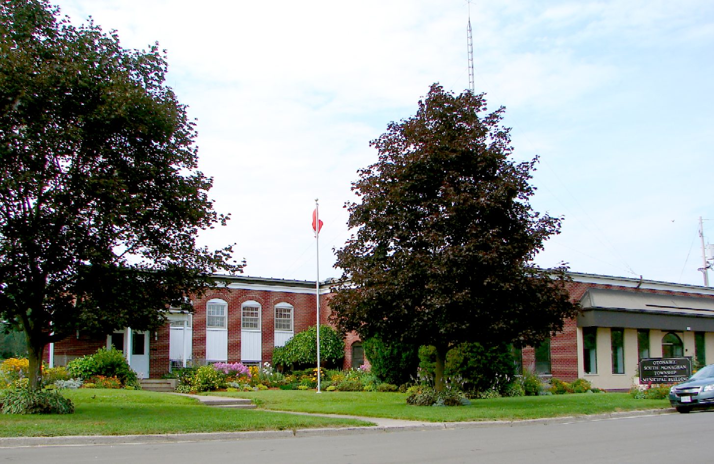
Otonabee-South Monaghan — Township — Municipal office in Keene

 Otonabee-S. Monaghan
Coordinates: 44°14′N 78°14′W / 44.233°N 78.233°WCoordinates: 44°14′N 78°14′W / 44.233°N 78.233°W Country  Canada
Province  Ontario
County Peterborough Settled Incorporated January 1, 1998 Government – Type Township – Reeve Dave Nelson – Federal riding Peterborough – Prov. riding Peterborough Area[1] – Land 349.22 km2 (134.8 sq mi) Population (2006)[1] – Total 6,934 – Density 19.9/km2 (51.5/sq mi) Time zone EST (UTC-5) – Summer (DST) EDT (UTC-4) Postal Code K0L 2G0 Area code(s) 705 Website www.osmtownship.ca Otonabee-South Monaghan is a township in central-eastern Ontario, Canada, in Peterborough County. It is located along the Trent-Severn Waterway.
Contents
Communities
The township comprises the communities of Assumption, Bailieboro, Bensfort, Bensfort Bridge, Blezard, Cameron, Campbelltown, Drummond, Hall Landing, Indian River, Jermyn, Keene, Lang, Mathers Corners, Pengelly Landing, Pleasant Point, Stewarts Hall, Villiers, Wallace Point and Zion.
Keene was ranked "prettiest town in Canada" by Harrowsmith Country Life magazine. It has interesting shops, artisans, gardens, and history, with fishing and camping or resorts close at hand.
Geography
 The Serpent Mounds.
The main attraction in the area is the Serpent Mounds Campgrounds and Historical Site. It has an effigy mound in the shape of a snake, constructed as an earthwork nearly 2,000 years ago by indigenous peoples of the Hopewell culture. Formerly a Provincial Park, the government returned the site to the Hiawatha First Nation as a historically significant burial ground for the Native people.
In addition to the mounds and campgrounds, the park also has a groomed beach for swimming and several kilometers of walking and biking trails. Another popular pastime in the area is fishing. Rice Lake is known to many as a great spot for some boating and fishing. There are also several resorts with water access points.
Education
Keene has a school of approximately 600 students called North Shore Public School. This school is the main elementary school for families in Keene, as well as those on outlying farms. North Shore is a feeder school for Thomas A. Stewart Secondary School, and has a longstanding tradition of producing excellence in athletes and academic students. South Monaghan Public School, located in Bailieboro, is another elementary school in the township. A feeder school of Crestwood Secondary School is in Peterborough.
Transportation
The area is served by the small Keene/Elmhirst's Resort Airport and Keene/Elmhirst's Resort Water Aerodrome.
Attractions
Lang Pioneer Village Museum is a living history museum located in the hamlet of Lang. Lang Pioneer Village is owned and operated by the County of Peterborough and is open to the public from approximately mid-May to mid-September. In addition to the regular season, Lang Pioneer Village offers various education programs and hosts a number of popular special events throughout the summer and fall seasons.
Demographics
According to the 2001 Statistics Canada Census:
- Population: 6,669
- % Change (1996 – 2001): 1.3
- Dwellings: 2,688
- Area (km²): 349.47
- Density (persons per km²): 19.1
According to the 2006 Statistics Canada Census:[1]
- Private dwellings occupied by usual residents: 2567 (total dwellings: 2851)
- Mother tongue:
- English as first language: 93.1 %
- French as first language: 0.9 %
- English and French as first language: 0 %
- Other as first language: 6.0 %
Population trend:[2]
- Population in 2006: 6934 (2001 to 2006 population change: 4.0 %)
- Population in 2001: 6669
- Population in 1996:
- Otonabee (township): 5447
- South Monaghan (township): 1302
- Population in 1991:
- Otonabee (township): 5368
- South Monaghan (township): 1259
References

Peterborough, Douro-Dummer Cavan-Monaghan 
Asphodel-Norwood  Otonabee-South Monaghan

Port Hope Hiawatha FN, Rice Lake /
Hamilton Twp., Alnwick/HaldimandCategories:- Municipalities in Peterborough County, Ontario
- Township municipalities in Ontario


Wikimedia Foundation. 2010.