- Djakotomey
-
Djakotomey — Commune and city — Location in Benin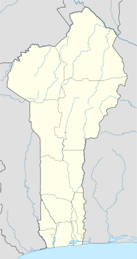
 Djakotomey
Coordinates: 6°54′N 1°43′E / 6.9°N 1.717°E Country  Benin
BeninDepartment Kouffo Department Area – Total 125.5 sq mi (325 km2) Population (2002) – Total 96,732 Time zone WAT (UTC+1) Djakotomey is a town and commune in the Kouffo Department of south-western Benin. The commune covers an area of 325 square kilometres and as of 2002 had a population of 96,732 people.[1][2]
References
- ^ "Djakotomey". Atlas Monographique des Communes du Benin. http://atlasbenin.africa-web.org/Couffo/Djacotome.htm. Retrieved January 5, 2010.
- ^ "Communes of Benin". Statoids. http://www.statoids.com/ybj.html. Retrieved January 5, 2010.
Coordinates: 6°54′N 1°43′E / 6.9°N 1.717°E
Alibori Department 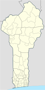
Atakora Department Atlantique Department Borgou Department Collines Department Donga Department Kouffo Department Littoral Department Mono Department Ouémé Department Adjarra • Adjohoun • Aguégués • Akpro-Missérété • Avrankou • Bonou • Dangbo • Porto-Novo • Sèmè-KpodjiPlateau Department Zou Department Aplahoué 
Djakotomey Adjintimey · Bètoumey · Djakotomey I · Djakotomey II · Gohomey · Houègamey · Kinkinhoué · Kokohoué · Kpoba · SokouhouéDogbo Ayomi · Dèvè · Honton · Lokogohoué · Madjrè · Tota · TotchagniKlouékanmè Lalo Adoukandji · Ahondjinnako · Ahomadégbé · Banigbé · Gnizounmè · Hlassamè · Lalo · Lokogba · Tchito · Tohou · ZalliToviklin Categories:- Benin geography stubs
- Communes of Benin
- Arrondissements of Benin
- Populated places in the Kouffo Department


Wikimedia Foundation. 2010.