- Dixie Valley
-
Dixie Valley watershed Country United States State Nevada Part of central Nevada desert Location within drainage divides of:[1]
west: Stillwater Range
east: Clan Alpine Mountains
south: Pirouette Mountain- coordinates 39°41′16″N 118°04′50″W / 39.68778°N 118.08056°W Area 2,990 sq mi (7,744 km2) [2] Huc 16060001 [3] 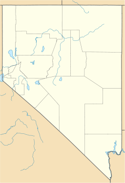

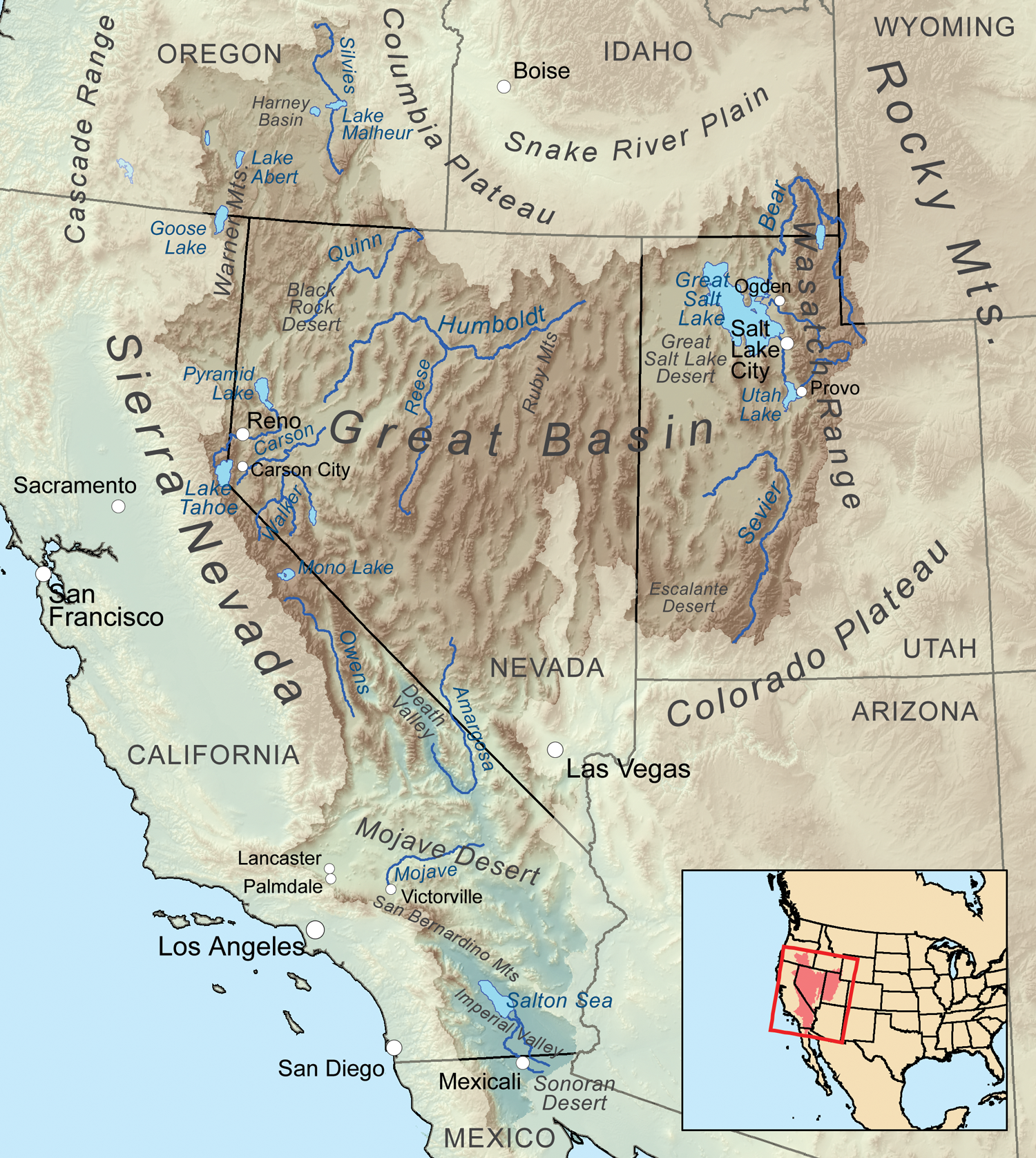
The Dixie Valley is an endorheic basin which had plentiful ground water[clarification needed] (free-flowing artesian wells) around which ranches were built. Prior to the US Navy TOPGUN school moving from California to Nevada, the valley was purchased in 1995 for $100 million and is used as an electronic warfare range for nearby Fallon Naval Air Station.[1]
The watershed has a floor of greater than 3,000 ft (910 m) elevation which has both the Lahontan Salt Shrub Basin and Lahontan Playa ecoregions of the Central Basin and Range. At higher elevations the area has Lahontan Sagebrush Slope (west) and Central Nevada High Valley (east) ecoregions that respectively transition to the mountainous Lahontan Upland and Central Nevada Mid-Slope Woodland & Brushland ecoregions (the latter's summits are Central Nevada Bald Mountain ecoregions).[4]
Dixie Valley military range
The military range in Dixie Valley is part of the Fallon Range Training Complex (FRTC) and contains a simulated air defense network, including approximately 20 operational radar installations and many demilitarized armored vehicles have been scattered throughout the area. Most of this area is publicly accessible, with the exception of areas immediately surrounding the radar installations.
References
- ^ a b Mackedon, Michon. "Dixie Land". WNC.edu. http://www.wnc.edu/~mackedon/Articles/Dixieland.html. Retrieved 2010-06-20.
- ^ "Boundary Descriptions and Names of Regions, Subregions, Accounting Units and Cataloging Units". USGS.gov. http://water.usgs.gov/GIS/huc_name.html. Retrieved 2010-05-16.
- ^ "Dixie Valley Watershed". Science in Your Watershed. USGS.gov. http://cfpub.epa.gov/surf/huc.cfm?huc_code=16060001. Retrieved 2010-06-20.
- ^ Bryce, S.A; et. al (poster), Ecoregions of Nevada, Reston, Virginia: USGS
Great Basin hydrologic units Rows list the basins of each subregion. The 4-digit subregion code is preceded by the abbreviation for the state to which the watersheds drain. Bear River (UT 1601) Upper Bear River · Lower Bear River
Great Salt Lake (UT 1602) Escalante-Sevier (UT 1603) Black Rock-Humboldt (NV 1604) Central Lahontan (NV 1605) Central Nevada desert (NV 1606) no basin level hydrologic unitsOregon closed basins (OR 1712) no basin level hydrologic unitsTulare-Buena Vista (CA 1803) North Lahontan (CA 1808) no basin level hydrologic unitsNorthern Mojave-Mono Lake (CA 1809) Southern Mojave-Salton Sea (CA 1810) Baja California & other CA External links (lists)--USGS: USA · EPA: CA, ID, NV, OR, UT, WY Categories:- Valleys of Nevada
- Landforms of Churchill County, Nevada

Wikimedia Foundation. 2010.