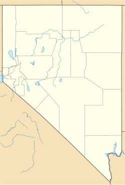
- Dixie Valley, Nevada
-
Dixie Valley, Nevada — Ghost town — Coordinates: 39°43′23″N 118°4′49″W / 39.72306°N 118.08028°W Country United States State Nevada County Churchill GNIS feature ID 864479 (1800s post office)[1] Dixie Valley, Nevada, was a small ranching town in Churchill County, Nevada until the area was acquired in 1995 by the US Navy for the Fallon Range Training Complex (FRTC).[2] The town had no retail businesses, most residents were more than a mile from their nearest neighbor, and a 1-room school (grades 1-8) was the teacher's residence and served as a meeting, dance, & election hall (grades 9-12 were bussed 75 miles to Fallon, Nevada).
The medium-sized Dixie Valley geothermal power plant (1988, 66 megawatts)[3] employs ~30 people and has 12 production steam wells and ~24 injection wells.
1954 earthquakes
In 1954, the Dixie Valley/Fairview earthquakes (7.1 & 6.6 ML) resulted in the appearance of large visible faults.[4]
References
- ^ U.S. Geological Survey Geographic Names Information System: Dixie Valley, Nevada
- ^ Mackedon, Michon. "Dixie Land". WNC.edu. http://www.wnc.edu/~mackedon/Articles/Dixieland.html. Retrieved 2010-06-20.
- ^ Shevenell, Lisa, et al (2000). "Geothermal Resources in Nevada". Nevada Bureau of Mines and Geology. http://www.nbmg.unr.edu/dox/m126.pdf. Retrieved 2010-07-20.
- ^ "Dixie Valley - Fairview Peak area, Nevada". http://earthquake.usgs.gov/regional/states/events/1954_12_16.php. Retrieved 2010-07-20.
Municipalities and communities of Churchill County, Nevada County seat: Fallon City CDP Unincorporated
communitiesEastgate | Hazen | Lahontan | Middlegate | Salt Wells
Indian reservations Fallon Reservation | Walker River Indian Reservation
Ghost towns Dixie Valley | Nevada City | Stillwater | White Cloud City
Categories:- Ghost towns in Churchill County, Nevada
- 1954 earthquakes
- Earthquakes in Nevada
Wikimedia Foundation. 2010.


