- Deebing Heights, Queensland
-
Deebing Heights
Queensland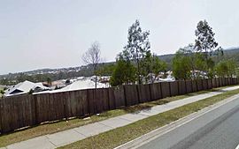
Large Scale Residential Development in Deebing HeightsPopulation: 1,158 (2006 census) Established: 8th September 2000 Postcode: 4306 LGA: - Scenic Rim Region
- Ipswich City
State District: Electoral district of Lockyer Federal Division: Division of Wright Suburbs around Deebing Heights: Purga Yamanto Ripley
SwanbankPurga Deebing Heights White Rock
Spring MountainMutdapilly
HarrisvillePeak Crossing
KagaruNew Beith
UndullahDeebing Heights is a semi-rural suburb located in Queensland, Australia. The area that is now Deebing Heights has been an important settlement since Queensland's early colonial history, but was only gazetted as a locality in 2000 and then a suburb in 2004, previously being part of Purga. It is home of the heritage listed Deebing Creek Mission Aboriginal Reserve located at the southern end of Grampian Drive which acted as a home to the Jagera tribe until its closing in 1915. Large scale development was slow to begin in Deebing Heights with Paradise Heights, a high end premium acreage estate only beginning development in the mid 1990's. However, with huge development planned over the entire suburb, it has a projected population of 25,000 people by 2020.
Contents
Geography
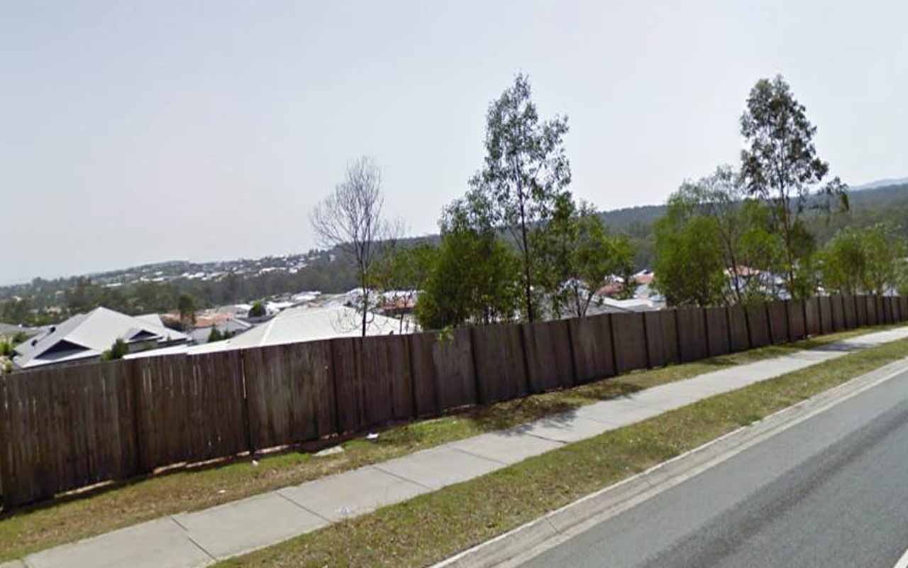
Deebing Heights is a large suburb encompassing the area from the eponymous hills surrounding Deebing Creek in the North of the suburb through to the lower foothills of the Teviot Range in the South. From the Grampian Hills it is possible, on a clear day, to see the Brisbane Skyline and the Pacific Ocean.
Housing
The acreage lots in the southern Grampian Hills give space for quite large and generous houses conveying the prestigious nature of this area. However, subsequent developments in Deebing Heights, particularly in the north, have seen block allotments shrink drastically in size and as such, these space constraints can only accommodate houses of quite a modest size.
History
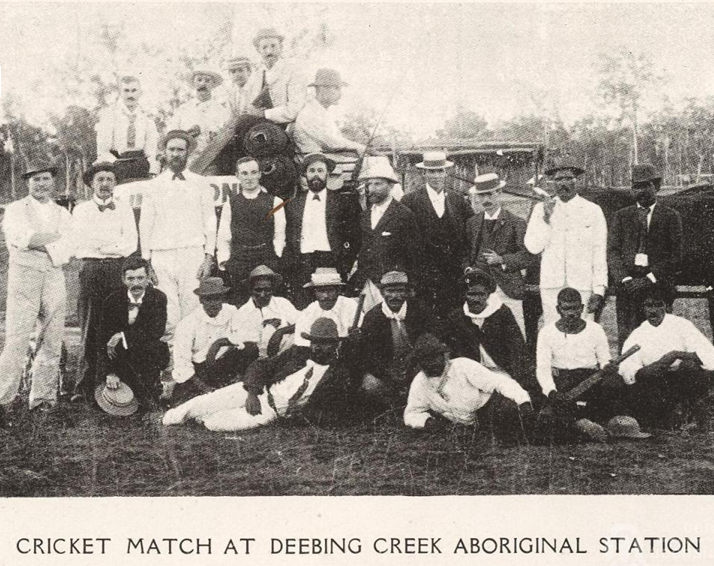
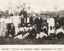 Cricket Match at Deebing Heights in 1910.
The Deebing Creek Mission Aboriginal Reserve was founded by the Aboriginal Protection Society of Ipswich on 130 acres at the southern end of Grampian Drive in 1887. On 2nd January 1892, construction was completed and the reserve was officially proclaimed.
Missionary Edward Fuller was the first manager of Deebing Creek which initially catered for Aboriginal people from the Ipswich area. By the turn of the century the mission superintendent reported that the inmates of Deebing Creek came from many different tribes with some children being sent to the mission from as far away as Burketown. Government records show that the mission was supplied with provisions by the Department from February 1891 to February 1894. In March 1894 to June 1896 a grant of £250 per annum was authorised.
In November 1896 the Rev. Peter Robertson, chairman of the Aboriginal Protection Association, requested and was granted additional funding for building and the purchase of more land and the annual grant to the mission was increased to £450. At the same time a gazettal notice made provision under the Industrial and Reformatory Schools Act of 1865 for the establishment of an industrial school which came to be known as the Deebing Creek Industrial School. The industrial school at Myora was closed and some of the children were transferred to Deebing Creek Industrial School.
In November 1914 a grant of £200 was made to assist in the transfer of the mission from Deebing Creek to reserve land at Purga. The reasons for the move were the abundance of good agricultural land and the greater distance from the town centre. The mission committee was still acquiring property and land for the mission, with the Chief Protector noting in a Departmental letter that 62 acres of farm land adjoining the Purga site had been purchased for £600 by the committee. In 1915 the mission was relocated to Purga.
From the closing of the reserve, the suburb remained largeley undeveloped until the 1990's when Winland Developments commenced construction on a new premium acreage estate named 'Paradise Heights' in the southern Grampian Hills on the lower foothills of the Teviot Mountain Range. In the next decade, work began on a smaller allotment development in the north between the Cunningham Highway and Deebing Creek.
At the beginning of the 2000's, Deebing Heights was identified as being an important growth corridor within the planned Ripley Valley, a masterplanned city that will one day be the size of Cairns. In 2007, the Urban Land Development Authority Act 2007 (Qld) was passed taking planning powers for most of Deebing Heights away from local government and giving it to the State Government. The Urban Land Development Authority is now responsible for all development in the Ripley Valley.
In 2003, the Western Transport Corridor was planned to be built from Springfield to Yamanto via White Rock, Ripley and Deebing Heights. In 2009, construction was completed and Deebing Heights residents are now only minutes from Springfield and travel time to Brisbane and Gold Coast is also considerably shorter.
Future
Deebing Heights is predicted to house 25,000 people by 2020. Because of this, a proposal was put forth to split the suburb down the Centenary Highway into two suburbs, with the half south of the Centenary Highway being named 'Grampian Hills'. Whilst this proposal was fiercely opposed by residents, a lack of mutual community interest and the shear distance between the two sides of the suburb make division inevitable in the future.
External links
Categories:- Australian Aboriginal placenames
Wikimedia Foundation. 2010.