- D43 road (Croatia)
-
D43 state road
Route information Length: 77.5 km (48.2 mi) Major junctions From:  D2 in Đurđevac
 D524 near Bjelovar
 D28 in Bjelovar
 D26 in Čazma
To:  A3 in Ivanić Grad interchange
Location Counties: Koprivnica-Križevci, Bjelovar-Bilogora, Zagreb County Major cities: Đurđevac, Bjelovar, Čazma, Ivanić Grad Highway system State roads in Croatia
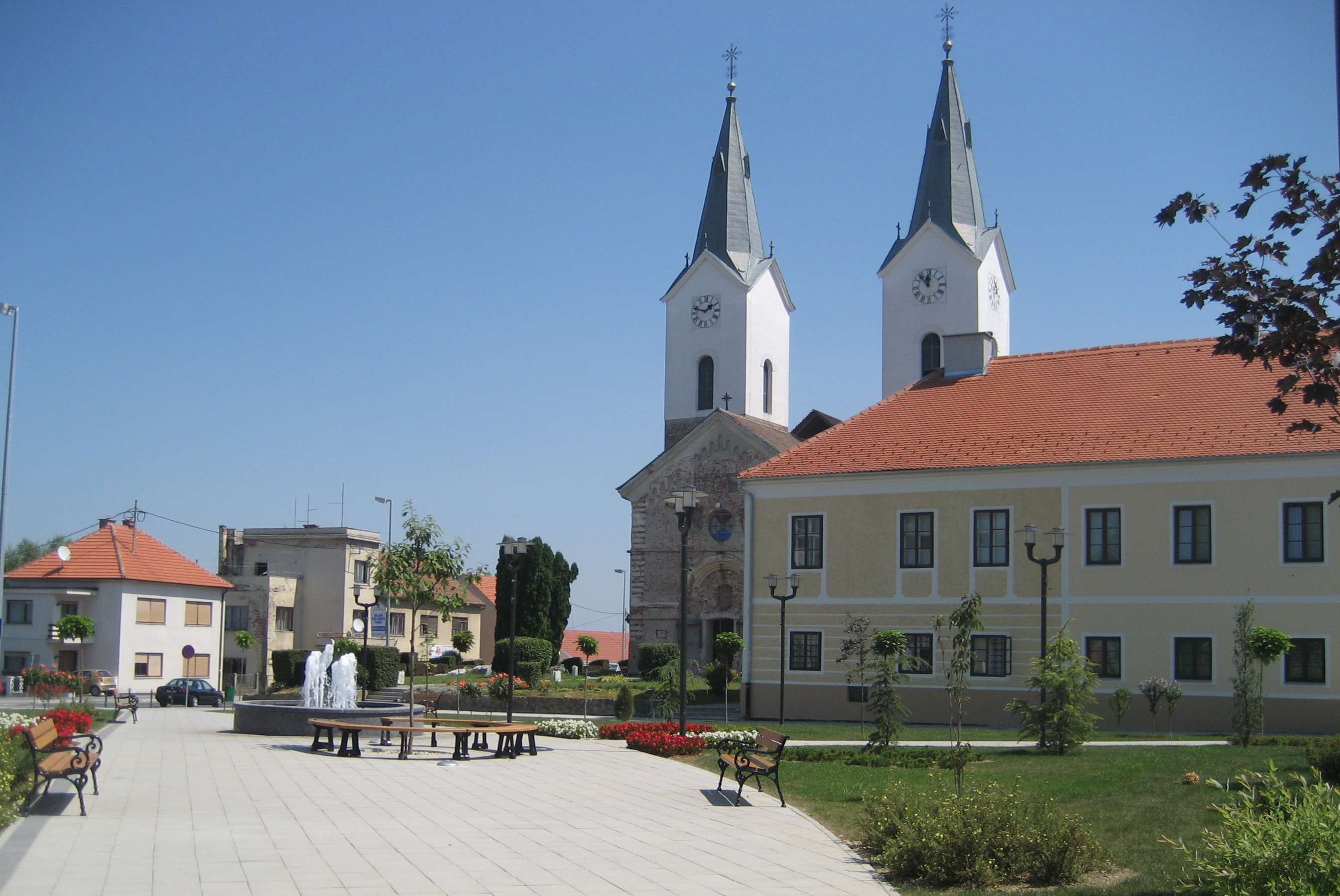
 Đurđevac, at the northern terminus of the D43 road
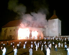
 Bjelovar, on the D43 road route
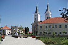 Čazma, on the D43 road route
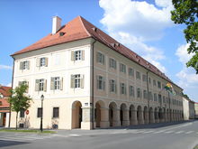
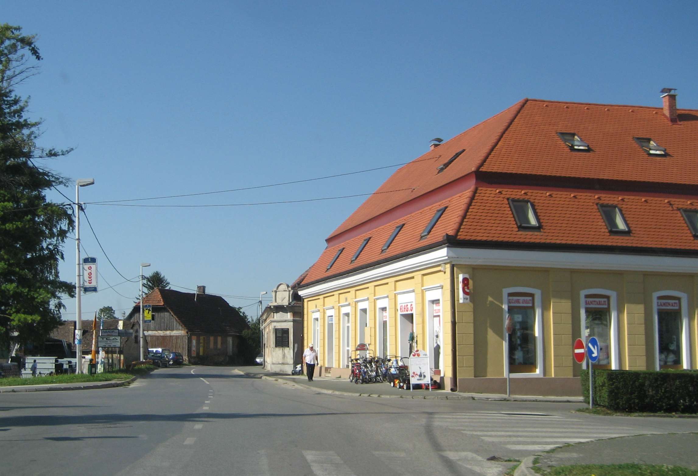
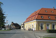 Ivanić Grad, near the southern terminus of the D43 road
D43 is a state road in the central Croatia connecting Đurđevac, Bjelovar, Čazma and Ivanić Grad to the A3 motorway at its southern terminus, within Ivanić Grad interchange.[1] The road is 77.5 km (48.2 mi) long.[2]
The road, as well as all other state roads in Croatia, is managed and maintained by Hrvatske ceste, state owned company.[3]
Contents
Traffic volume
Traffic is regularly counted and reported by Hrvatske ceste, operator of the road.[4]
D43 traffic volume Road Counting site AADT ASDT Notes  D43
D431314 Hampovica 4,496 5,001 Adjacent to the Ž3049 junction. D432105 Markovac 2,863 2,924 Adjacent to the D524 junction. D432108 Narta - north 3,984 3,903 Adjacent to the Ž3084 junction. D432015 Caginec 7,586 7,745 Adjacent to the Ž3074 junction. Road junctions and populated areas
D43 junctions/populated areas Type Slip roads/Notes 
Đurđevac
D2 to Koprivnica (D41) and Varaždin (D3) (to the west) and to Virovitica (D5) (to the east).
The northern terminus of the road.Šemovci
Ž2183 to Virje (D2).Hampovica 
Ž2236 to Babotok, Donje Zdjelice, Miholjanec and Virje (D2). Ž3049 to Ćurlovac and Remetovac. Kupinovac D524 to the western parts of Bjelovar, and Sveti Ivan Žabno (via the D28).
The D524 represents the northern bypass of the city of Bjelovar.Letičani Trojstveni Markovac
Ž3026 to Zvijerci.
Ž3027 to Veliko Trojstvo and Šandrovac.Bjelovar
D28 to Sveti Ivan Žabno (D22) and Vrbovec (to the west) and to Veliki Zdenci (D5) (to the east).
Ž3024 to the norhtern Bjelovar bypass (D524) and Plavnice Gornje.
Ž3044 within the city.Ž3042 to Gudovac and Farkaševac. Ž3083 to Veliko Korenovo. Ž3084 to Paljevine, Ivanska and Berek. Narta Štefanje
Ž3081 to Ivanska.
Ž3283 to Zdenčec and Sišćani.Daskatica Vagovina Gornji Draganec
Ž2231 to Sišćani, Farkaševac, Crikvena and Kenđelovac (D28).Čazma
D26 to Vrbovec (D28) and Garešnica (D45).
Ž3128 to Rečica Kriška.Bosiljevo Palančani Dapci Ž3284 to Sovari, Marčani, Donji Lipovčani and Cerina (D26). Šumećani Graberje Ivaničko
Ž3124 to Bunjani, Voloder, Kutina (D45) and Novska (D47).Caginec
Ž3074 to Kloštar Ivanić.Ivanić Grad
Ž3123 within the town to the Ž3041. A3 Ivanić Grad interchange[1] to Zagreb (to the west) and to Slavonski Brod (to the east).
Sources
- ^ a b "Regulation on motorway markings, chainage, interchange/exit/rest area numbers and names" (in Croatian). Narodne novine. April 24, 2003. http://www.mmpi.hr/UserDocsImages/nn-73-03-Pravilnik-oznacav-ac.htm.
- ^ "Decision on categorization of public roads as state roads, county roads and local roads" (in Croatian). Narodne novine. February 17, 2010. http://narodne-novine.nn.hr/clanci/sluzbeni/2010_02_17_410.html.
- ^ "Public Roads Act" (in Croatian). Narodne novine. December 14, 2004. http://narodne-novine.nn.hr/clanci/sluzbeni/2004_12_180_3130.html.
- ^ "Traffic counting on the roadways of Croatia in 2009 - digest" (in English). Hrvatske ceste. May 1, 2010. http://www.hrvatske-ceste.hr/WEB%20-%20Legislativa/brojenje-prometa/CroDig2009.pdf.
See also
- State roads in Croatia
- Hrvatske ceste
Categories:- State roads in Croatia
- Bjelovar-Bilogora County
- Koprivnica-Križevci County
- Zagreb County


Wikimedia Foundation. 2010.