- D26 road (Croatia)
-
D26 state road
Route information Length: 88.5 km (55.0 mi) Major junctions From:  D28 near Vrbovec
 D43 in Čazma
 D45 in Veliki Zdenci
To:  D5 in Daruvar
Location Counties: Bjelovar-Bilogora Major cities: Vrbovec, Čazma, Daruvar Highway system State roads in Croatia
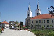
 Vrbovec, near the western terminus of the D26 road
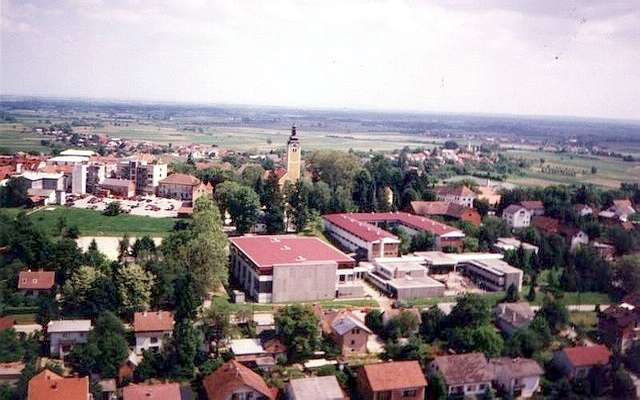
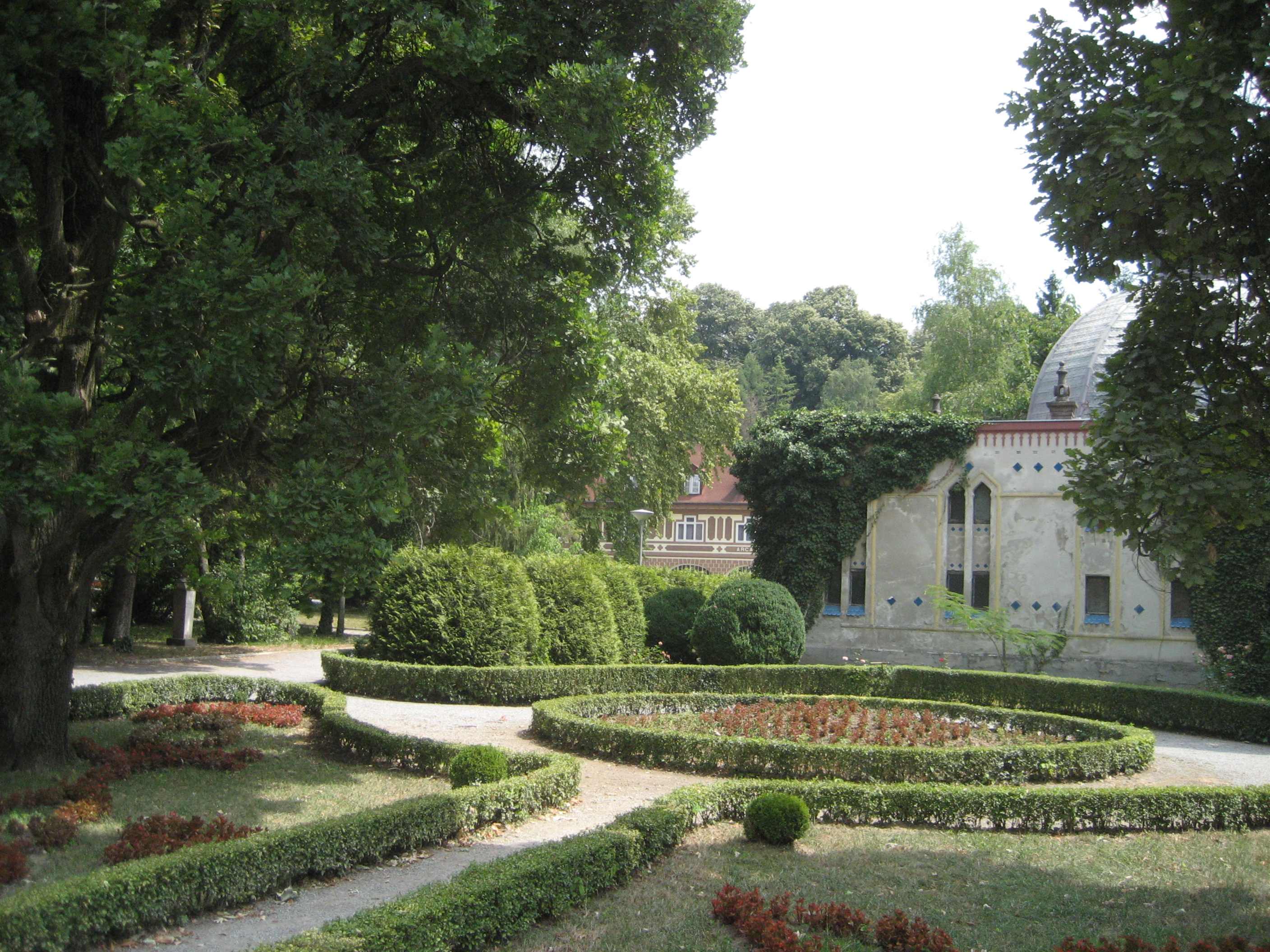
 Čazma, on the D26 road route
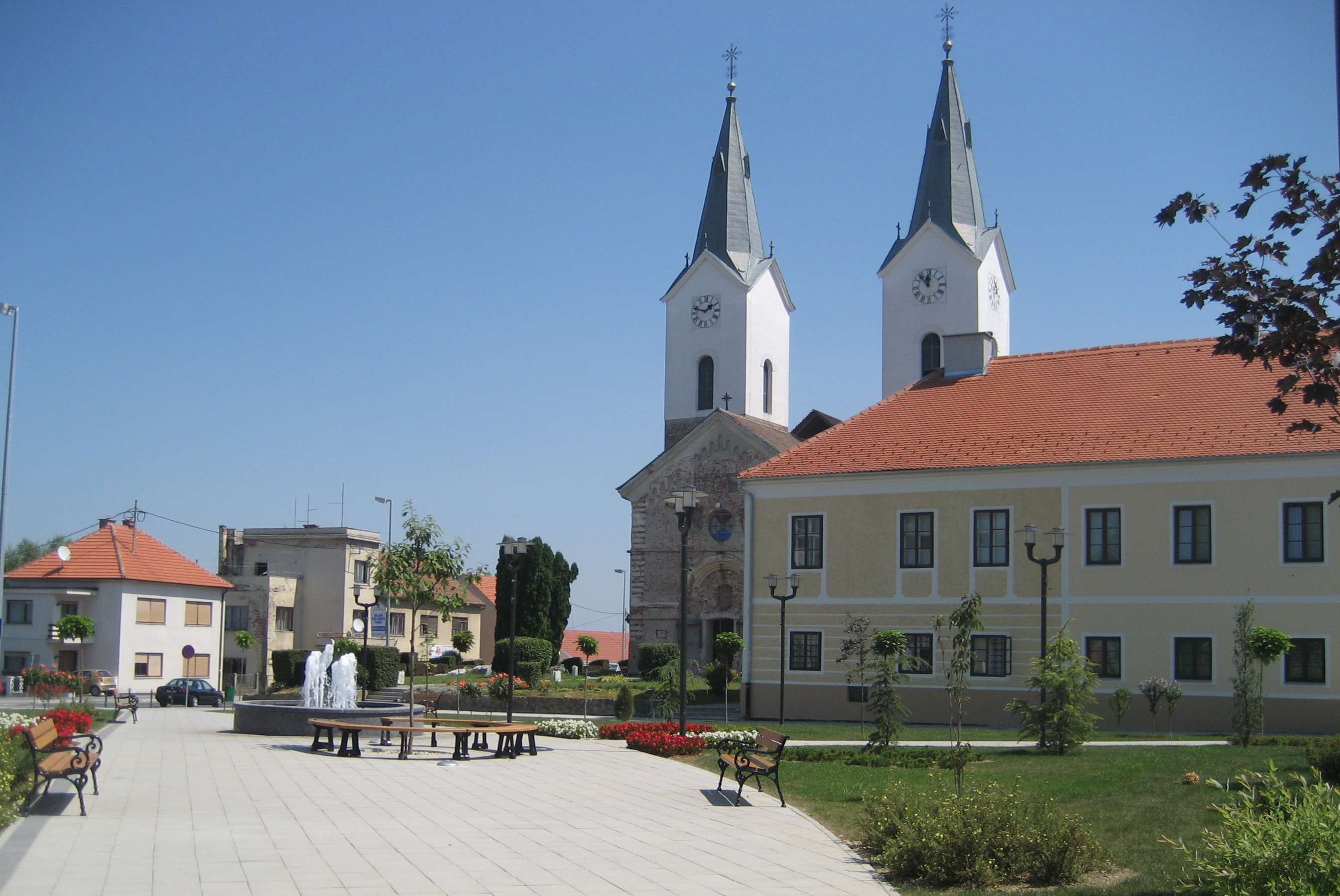
 Daruvar, at the eastern terminus of the D26 road
D26 is a state road in central Croatia connecting the D5 in Daruvar and the D28 near Vrbovec (Dubrava interchange), comprising a connection to the future A12 motorway.[1] The road is 88.5 km (55.0 mi) long.[2]
The road, as well as all other state roads in Croatia, is managed and maintained by Hrvatske ceste, a state owned company.[3]
Contents
Traffic volume
Traffic is regularly counted and reported by Hrvatske ceste, operator of the road.[4]
D26 traffic volume Road Counting site AADT ASDT Notes  D26
D262107 Dubrava 2,161 2,161 Adjacent to the Ž2211 junction. D262111 Čazma - east 1,580 1,614 Adjacent to the L37056 junction. D262112 Trnovitički Popovac 1,386 1,441 Adjacent to the Ž3090 junction. D262211 Hrastovac 1,593 1,773 Adjacent to the Ž3168 junction. Road junctions and populated areas
D26 junctions/populated areas Type Slip roads/Notes 
Dubrava interchange
D28 to the A4 motorway Sveta Helena interchange (to the west) and to Bjelovar (D43) (to the north).
Ž3288 to Vrbovec, Rakovec and Sveti Ivan Zelina (D3).
The western terminus of the road.
Koritna Ladina Dubrava Zgališće Bađinec Svinjarec Donji Dragičevci Cerina
Ž3284 to Donji Lipovčani, Marčani and Sovari.Čazma
D43 to the A3 motorway Ivanić Grad interchange (to the south) and to Bjelovar (D28) (to the north).Grabovnica Vučani Donji Miklouš
Ž3082 to Martinac and Donja Šušnjara.Šimljanik Gornja Garešnica Trnovitički Popovac 
Ž3084 to Begovača, Berek, Ivanska and Paljevine. Mali Pašijan Veliki Pašijan
Ž3090 to Velika Trnovitica and Nova Rača. D45 to Veliki Zdenci (D5) (to the north).
The D26 and D45 are concurrent to the south.Garešnica
D45 to the A3 motorway Kutina interchange (to the south).
The D26 and D45 are concurrent to the north.
Ž3131 to Gornja Jelenska and Podbrđe.
Ž3136 to Tomašica and Veliki Zdenci (D5).
Ž3167 to Kaniška Iva and Međurić.Hrastovac Uljanik
Ž3168 to Poljana, Međurić and Banova Jaruga.Blagorodovac Dežanovac
Ž3138 to Končanica (D5).
Ž3169 to Trojeglava and Badljevina (D5).
Ž3287 to Kreštelovac and Sokolovac.Ivanovo Polje Gornji Daruvar Daruvar
D5 to Pakrac (D38) and the A3 motorway Okučani interchange (to the south) and to Veliki Zdenci (D45) and Virovitica (D2).
Ž3287 within the city.
The eastern terminus of the road.Sources
- ^ "Regulation on motorway markings, chainage, interchange/exit/rest area numbers and names" (in Croatian). Narodne novine. April 24, 2003. http://www.mmpi.hr/UserDocsImages/nn-73-03-Pravilnik-oznacav-ac.htm.
- ^ "Decision on categorization of public roads as state roads, county roads and local roads" (in Croatian). Narodne novine. February 17, 2010. http://narodne-novine.nn.hr/clanci/sluzbeni/2010_02_17_410.html.
- ^ "Public Roads Act" (in Croatian). Narodne novine. December 14, 2004. http://narodne-novine.nn.hr/clanci/sluzbeni/2004_12_180_3130.html.
- ^ "Traffic counting on the roadways of Croatia in 2009 - digest". Hrvatske ceste. May 1, 2010. http://www.hrvatske-ceste.hr/WEB%20-%20Legislativa/brojenje-prometa/CroDig2009.pdf.
See also
- State roads in Croatia
- Hrvatske ceste
Categories:- State roads in Croatia
- Bjelovar-Bilogora County
- Zagreb County

Wikimedia Foundation. 2010.