- Cumberland Trail
-
The Cumberland Trail is a hiking trail following a line of ridges and gorges along the eastern escarpment of the Cumberland Plateau in Tennessee. The trail begins at Cumberland Gap National Historical Park and ends at Chickamauga and Chattanooga National Military Park and Prentice Cooper Wildlife Management Area just outside Chattanooga, Tennessee. The trail travels through 11 Tennessee counties.
Over 300 mi (483 km) of trails are planned. The Cumberland Trail became Tennessee's 53rd state park in 1998 and the state's only linear park. The park is named for Justin P. Wilson in honor of his work to help make the vision of the Cumberland Trail a reality. Wilson served as the commissioner of the Tennessee Department of Environment and Conservation in 1996 and deputy governor for policy for former Tennessee Governor Don Sundquist. When completed, the Justin P. Wilson Cumberland Trail State Park is to contain a core corridor of trail stretching from Cumberland Gap National Historical Park to the Chickamauga and Chattanooga National Military Park and Prentice Cooper Wildlife Management Area.
The Cumberland Trail gives hikers access to areas preserved for their natural or scenic beauty that cannot be otherwise accessed. The very remote scenic trail follows numerous sparsely populated ridge lines where the trail designers have strategically routed the trail to spectacular overlooks and scarce drinking water sources. The very rugged and very scenic trail dips into remote and spectacular gorges where hikers enjoy scenic waterfalls and beautiful swimming holes.
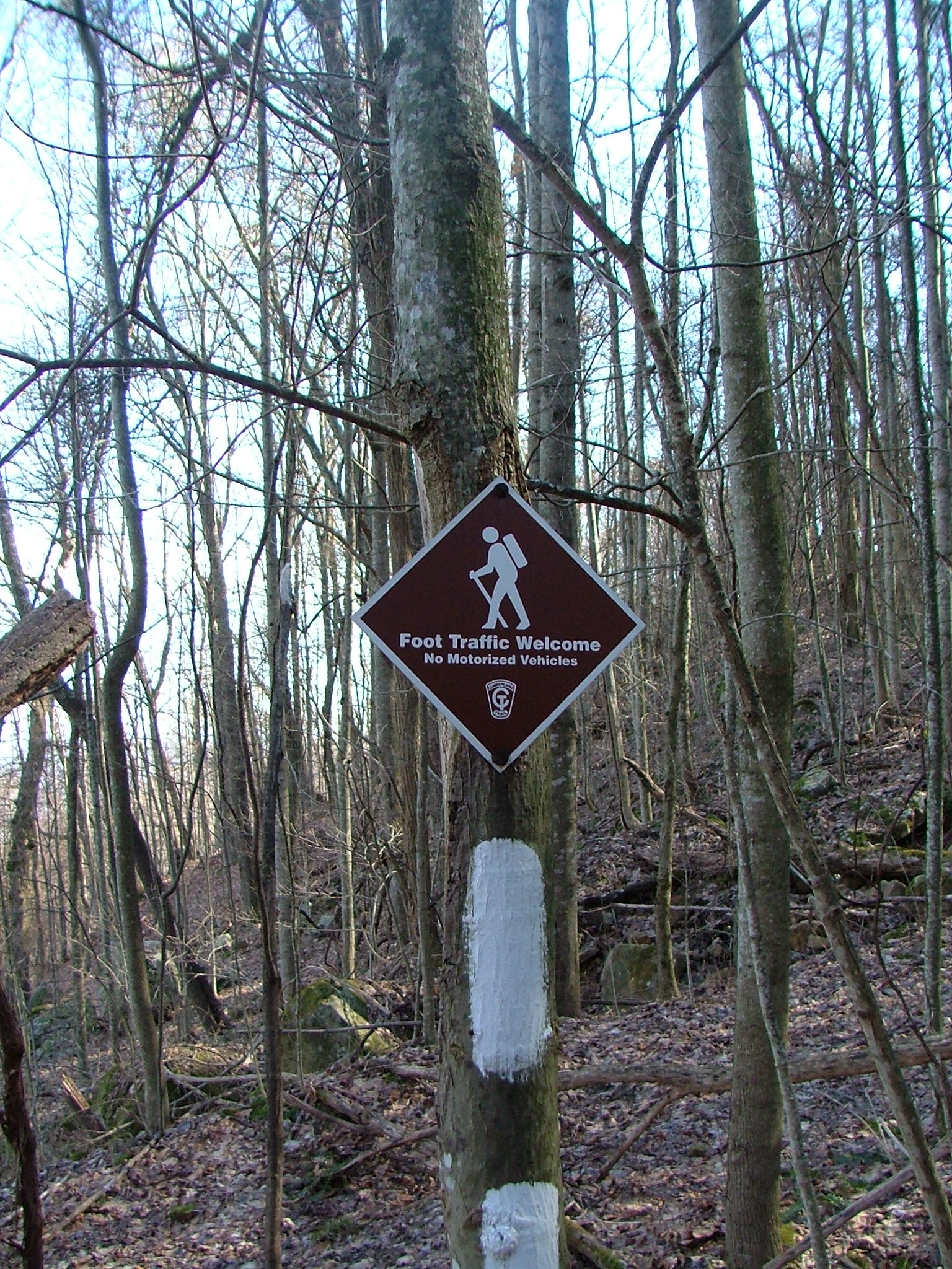
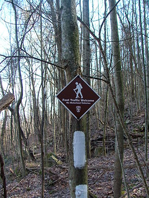 A typical trail sign on the Smoky Mountain segment
Still a work-in-progress, approximately 175 mi (282 km) of hikeable trail are ready for hiking in the Cumberland Mountain segment above La Follette and Jacksboro and in the Cumberland Gap National Historic Park; the Smoky Mountain segment in Campbell County; the Frozen Head segment in Morgan County; the Obed Wild and Scenic River segment in the Obed Wild and Scenic River and Catoosa Wildlife Management Area; the Grassy Cove segment on Black and Brady mountains in Cumberland County; the Rock Creek, Possum Creek, Soddy Creek, and North Chickamauga segments in Hamilton County; and the Tennessee River Gorge segment in Prentice Cooper State Forest.
The trail is designed for hikers by hikers, primarily as a hiking trail, designed and built to minimize the potential environmental impact on sensitive wildlife habitat, unique aquatic or terrestrial habitats, or endangered and threatened species.
Designed as a sustainable single file backcountry-hiking trail, part of the Great Eastern Trail, the CT's environmentally conscious footprint on the land provides the hiker with numerous picturesque waterfalls, scenic overlooks, and a wilderness experience rare in the eastern US. Due to its location in more remote areas of the Appalachian Mountains, the Great Eastern Trail will provide hikers with a more primitive backcountry experience, an alternative to the relatively crowded Appalachian Trail.
Cumberland Trail State Park offices are located in Caryville, Pikeville, and Signal Mountain. The State Park's crew for trail construction and maintenance is based in Soddy-Daisy. Volunteers from all over the US and several volunteer hiking organizations are also actively assisting the State Park in building the new trail.
The Cumberland Trail Conference (CTC) and the Friends of the Cumberland Trail are most active in assisting the State of Tennessee in the development and construction of the Cumberland Trail. The CTC is currently actively assisting the State of Tennessee in on-the-ground construction and maintenance of the trail. The CTC is principally a volunteer organization, focusing on trail building and trail maintenance. The CTC, Friends of the Cumberland Trail, Tennessee State Park employees, private corporations, individuals, and other groups are assisting the State of Tennessee in protecting and promoting the Cumberland Trail.
See also
External links
Categories:- Hiking trails in Tennessee
- Long-distance trails in the United States
- Protected areas of Hamilton County, Tennessee
- Protected areas of Campbell County, Tennessee
- Protected areas of Morgan County, Tennessee
- Protected areas of Cumberland County, Tennessee
- Protected areas of Marion County, Tennessee
Wikimedia Foundation. 2010.