- Colley Township, Sullivan County, Pennsylvania
-
"Colley Township" redirects here. It is not to be confused with Colly Township, North Carolina.
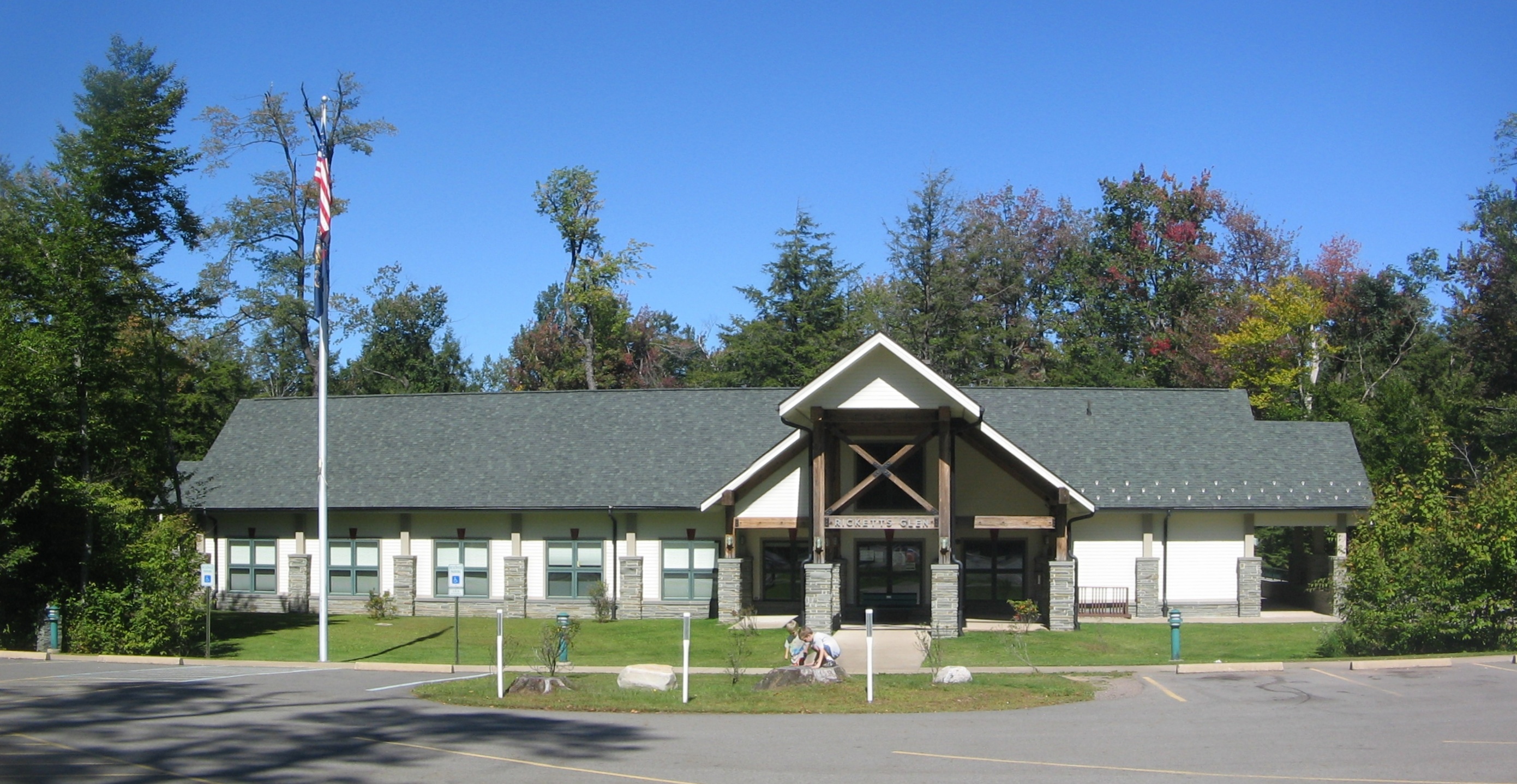
Colley Township, Pennsylvania — Township — The park office for Ricketts Glen State Park is in Colley Township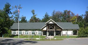 Map of Sullivan County, Pennsylvania highlighting Colley Township
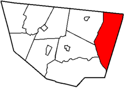 Map of Pennsylvania highlighting Sullivan County
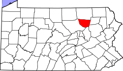
Country United States State Pennsylvania County Sullivan Settled 1823 Incorporated 1848 Area – Total 59.0 sq mi (152.8 km2) Population (2000) – Total 647 – Density 11.2/sq mi (4.3/km2) Time zone Eastern (EST) – Summer (DST) EDT (UTC) Colley Township is a township in Sullivan County, Pennsylvania, United States. The population was 647 at the 2000 census.
Geography
According to the United States Census Bureau, the township has a total area of 59.0 square miles (153 km2), of which, 58.0 square miles (150 km2) of it is land and 1.0 square mile (2.6 km2) of it (1.70%) is water.
Colley Township is bordered by Bradford County to the north, Wyoming and Luzerne Counties to the east, Davidson Township to the southwest, and Laporte and Cherry Townships to the west.
Colley Township is home to the Clemuel Ricketts Mansion on Ganoga Lake, listed on the National Register of Historic Places, and part of Ricketts Glen State Park.
Demographics
As of the census[1] of 2000, there were 647 people, 179 households, and 95 families residing in the township. The population density was 11.2 people per square mile (4.3/km²). There were 542 housing units at an average density of 9.3/sq mi (3.6/km²). The racial makeup of the township was 70.48% White, 20.87% African American, 0.93% Native American, 0.15% Asian, 4.17% from other races, and 3.40% from two or more races. Hispanic or Latino of any race were 7.57% of the population.
There were 179 households out of which 14.0% had children under the age of 18 living with them, 44.1% were married couples living together, 5.0% had a female householder with no husband present, and 46.4% were non-families. 38.5% of all households were made up of individuals and 23.5% had someone living alone who was 65 years of age or older. The average household size was 2.03 and the average family size was 2.69.
In the township the population was spread out with 28.9% under the age of 18, 26.3% from 18 to 24, 11.6% from 25 to 44, 13.8% from 45 to 64, and 19.5% who were 65 years of age or older. The median age was 22 years. For every 100 females there were 158.8 males. For every 100 females age 18 and over, there were 144.7 males.
The median income for a household in the township was $23,542, and the median income for a family was $33,333. Males had a median income of $28,036 versus $20,417 for females. The per capita income for the township was $10,979. About 3.0% of families and 45.6% of the population were below the poverty line, including none of those under age 18 and 17.9% of those age 65 or over.
References
- ^ "American FactFinder". United States Census Bureau. http://factfinder.census.gov. Retrieved 2008-01-31.
Municipalities and communities of Sullivan County, Pennsylvania Boroughs Dushore | Eagles Mere | Forksville | Laporte
Townships Cherry | Colley | Davidson | Elkland | Forks | Fox | Hillsgrove | Laporte | Shrewsbury
Unincorporated
communityCategories:- Populated places established in 1823
- Townships in Sullivan County, Pennsylvania


Wikimedia Foundation. 2010.