- Forksville, Pennsylvania
Infobox Settlement
official_name = Forksville, Pennsylvania
other_name =
native_name =
nickname =
settlement_type = Borough
motto =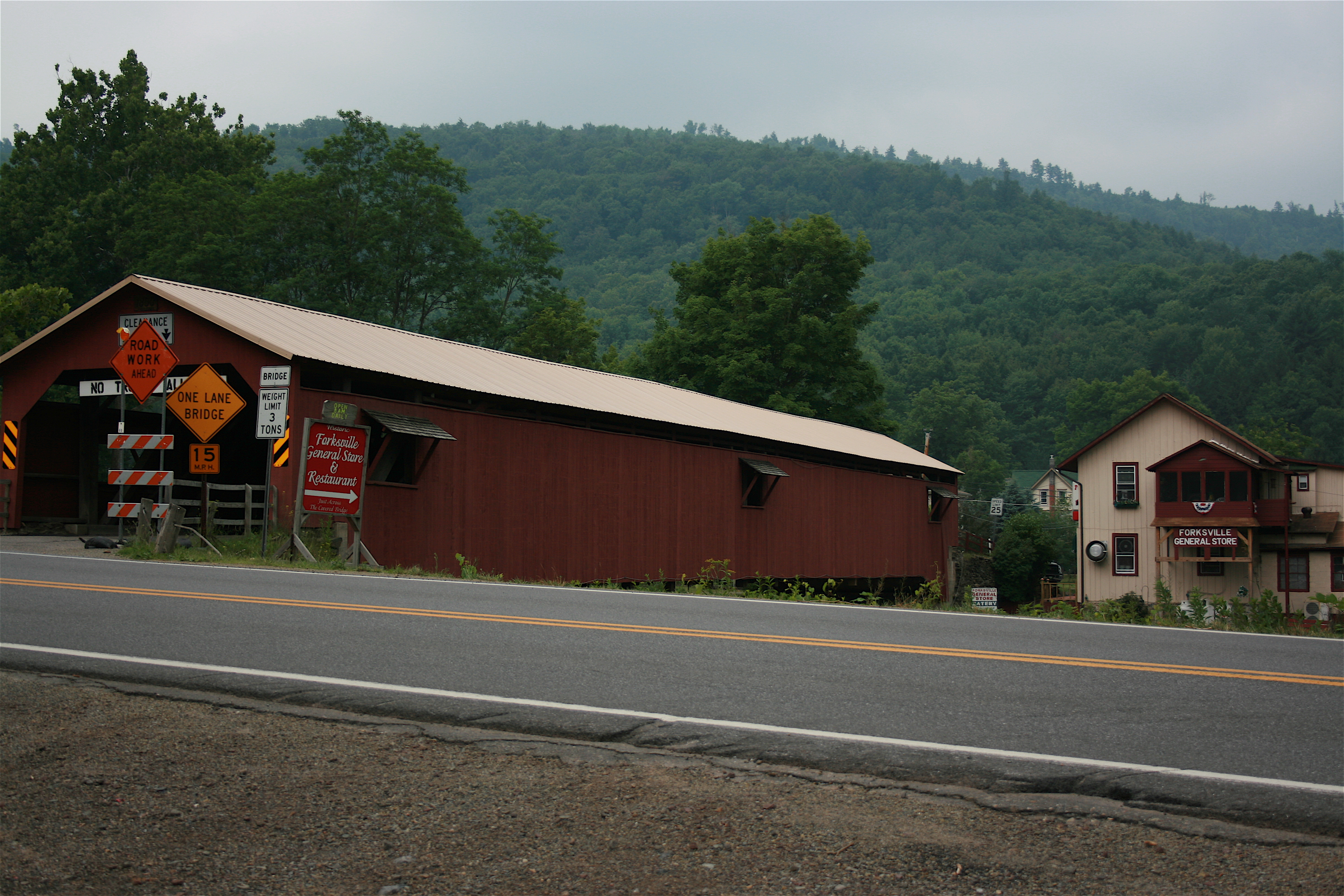
imagesize =
image_caption = Forksville Covered Bridge, built 1850, over Loyalsock Creek with the Forksville General Store behind
flag_size =
image_
seal_size =
image_shield =
shield_size =
image_blank_emblem =
blank_emblem_size =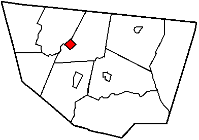
mapsize = 250x200px
map_caption = Map of Sullivan County, Pennsylvania highlighting Forksville
image_dot_
dot_mapsize =
dot_map_caption =
dot_x =
dot_y =
|pushpin_
pushpin_label_position =left
pushpin_map_caption =Location within the state of Pennsylvania
pushpin_mapsize =
pushpin_label_position =
pushpin_map_caption =
pushpin_mapsize =
subdivision_type = Country
subdivision_name =United States
subdivision_type1 = State
subdivision_name1 =Pennsylvania
subdivision_type2 = County
subdivision_name2 = Sullivan
subdivision_type3 =
subdivision_name3 =
subdivision_type4 =
subdivision_name4 =
government_footnotes =
government_type =
leader_title =
leader_name =
leader_title1 =
leader_name1 =
leader_title2 =
leader_name2 =
leader_title3 =
leader_name3 =
leader_title4 =
leader_name4 =
established_title = Settled
established_date = 1794
established_title2 = Incorporated (borough)
established_date2 = 1880
area_magnitude =
unit_pref =
unit_pref = Imperial
area_footnotes =
area_total_km2 = 3.9
area_land_km2 =
area_water_km2 =
area_total_sq_mi = 1.5
area_land_sq_mi =
area_water_sq_mi =
area_water_percent =
area_urban_km2 =
area_urban_sq_mi =
area_metro_km2 =
area_metro_sq_mi =
area_blank1_title =
area_blank1_km2 =
area_blank1_sq_mi =
population_as_of = 2000
population_footnotes =
population_note =
population_total = 147
population_density_km2 = 37.6
population_density_sq_mi = 97.6
population_metro =
population_density_metro_km2 =
population_density_metro_sq_mi =
population_urban =
population_density_urban_km2 =
population_density_urban_sq_mi =
population_blank1_title =
population_blank1 =
population_density_blank1_km2 =
population_density_blank1_sq_mi =
timezone = Eastern (EST)
utc_offset =
timezone_DST = EDT
utc_offset_DST =
latd = 41
latm = 29
lats = 32
latNS = N
longd = 76
longm = 36
longs = 19
longEW = W
elevation_footnotes =
elevation_m =
elevation_ft = 1001
postal_code_type =Zip code
postal_code = 18616
area_code = 570
blank_name =
blank_info =
blank1_name =
blank1_info =
website =
footnotes =Forksville is a borough in Sullivan County,
Pennsylvania ,United States . The population was 147 at the 2000 census. It is the home of the 150 year old Forksville General Store, down the road from the Sullivan County Fairgrounds, and nearWorlds End State Park . The name comes from the confluence ofLittle Loyalsock Creek andLoyalsock Creek within the borough.Geography
According to the
United States Census Bureau , the borough has a total area of 1.5square mile s (3.9km² ), all of it land.Demographics
As of the
census GR|2 of 2000, there were 147 people, 67 households, and 42 families residing in the borough. Thepopulation density was 97.6 people per square mile (37.6/km²). There were 94 housing units at an average density of 62.4/sq mi (24.0/km²). The racial makeup of the borough was 95.24% White and 4.76% Native American.There were 67 households out of which 22.4% had children under the age of 18 living with them, 55.2% were married couples living together, 6.0% had a female householder with no husband present, and 37.3% were non-families. 29.9% of all households were made up of individuals and 13.4% had someone living alone who was 65 years of age or older. The average household size was 2.19 and the average family size was 2.74.
In the borough the population was spread out with 17.7% under the age of 18, 3.4% from 18 to 24, 30.6% from 25 to 44, 30.6% from 45 to 64, and 17.7% who were 65 years of age or older. The median age was 44 years. For every 100 females there were 107.0 males. For every 100 females age 18 and over, there were 120.0 males.
The median income for a household in the borough was $26,625, and the median income for a family was $31,563. Males had a median income of $26,563 versus $25,417 for females. The
per capita income for the borough was $13,943. There were 19.1% of families and 22.1% of the population living below thepoverty line , including 36.4% of under eighteens and none of those over 64.Notable residents
Red Grange - College andPro Football Hall of Fame r was born in Forksville before moving to Wheaton,Illinois at age 5. Grange is widely considered to be the first superstar of theNational Football League .References
External links
* [http://www.forksvillefolk.org/ Forksville Folk Festival]
* [http://www.dcnr.state.pa.us/stateparks/parks/worldsend.aspx Worlds End State Park]

Wikimedia Foundation. 2010.