- Forks Township, Sullivan County, Pennsylvania
Infobox Settlement
official_name = Forks Township, Sullivan County, Pennsylvania
other_name =
native_name =
nickname =
settlement_type = Township
motto =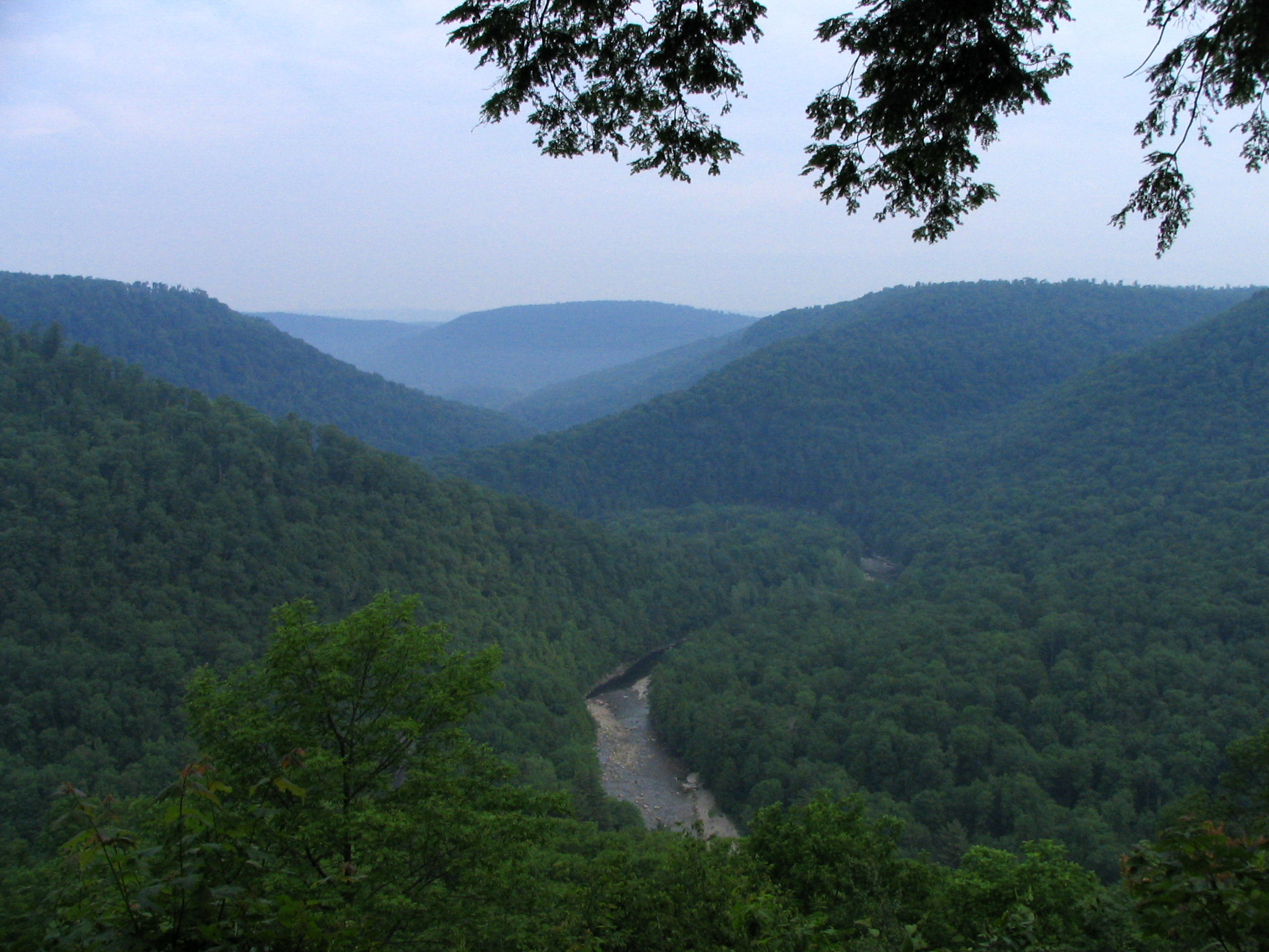
imagesize =
image_caption = Worlds End State Park alongLoyalsock Creek
flag_size =
image_
seal_size =
image_shield =
shield_size =
image_blank_emblem =
blank_emblem_size =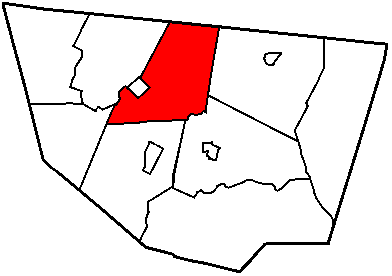
mapsize = 250x200px
map_caption = Map of Sullivan County, Pennsylvania highlighting Forks Township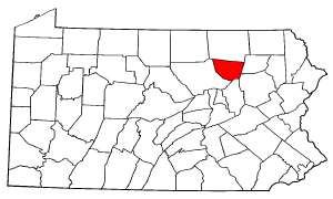
mapsize1 = 250x200px
map_caption1 = Map of Pennsylvania highlighting Sullivan County
subdivision_type = Country
subdivision_name =United States
subdivision_type1 = State
subdivision_name1 =Pennsylvania
subdivision_type2 = County
subdivision_name2 = Sullivan
subdivision_type3 =
subdivision_name3 =
subdivision_type4 =
subdivision_name4 =
government_footnotes =
government_type =
leader_title =
leader_name =
leader_title1 =
leader_name1 =
leader_title2 =
leader_name2 =
leader_title3 =
leader_name3 =
leader_title4 =
leader_name4 =
established_title = Settled
established_date = 1794
established_title2 = Incorporated
established_date2 = 1833
area_magnitude =
unit_pref =
unit_pref = Imperial
area_footnotes =
area_total_km2 = 113.7
area_land_km2 =
area_water_km2 =
area_total_sq_mi = 43.9
area_land_sq_mi =
area_water_sq_mi =
area_water_percent =
area_urban_km2 =
area_urban_sq_mi =
area_metro_km2 =
area_metro_sq_mi =
area_blank1_title =
area_blank1_km2 =
area_blank1_sq_mi =
population_as_of = 2000
population_footnotes =
population_note =
population_total = 407
population_density_km2 = 3.6
population_density_sq_mi = 9.3
population_metro =
population_density_metro_km2 =
population_density_metro_sq_mi =
population_urban =
population_density_urban_km2 =
population_density_urban_sq_mi =
population_blank1_title =
population_blank1 =
population_density_blank1_km2 =
population_density_blank1_sq_mi =
timezone = Eastern (EST)
utc_offset =
timezone_DST = EDT
utc_offset_DST =
latd =
latm =
lats =
latNS = N
longd =
longm =
longs =
longEW = W
elevation_footnotes =
elevation_m =
elevation_ft =
postal_code_type =
postal_code =
area_code =
blank_name =
blank_info =
blank1_name =
blank1_info =
website =
footnotes =Forks Township is a township in Sullivan County,
Pennsylvania , USA. The population was 407 at the 2000 census.Geography
According to the
United States Census Bureau , the township has a total area of 43.9square mile s (113.7km² ), of which, 43.9 square miles (113.6 km²) of it is land and 0.04 square miles (0.1 km²) of it (0.05%) is water.Part of
Worlds End State Park a Pennsylvania state park is in agorge alongLoyalsock Creek in Forks Township.Forks Township is bordered by Bradford County to the north, Cherry Township to the east, Laporte Township to the southeast, Shrewsbury Township to the south and Hillsgrove and Elkland Townships to the west.
Forks Township forms the northern, eastern and southern borders of the borough of Forksville.
Demographics
As of the
census GR|2 of 2000, there were 407 people, 171 households, and 122 families residing in the township. Thepopulation density was 9.3 people per square mile (3.6/km²). There were 401 housing units at an average density of 9.1/sq mi (3.5/km²). The racial makeup of the township was 99.51% White, 0.25% Asian, and 0.25% from two or more races.There were 171 households out of which 24.0% had children under the age of 18 living with them, 58.5% were married couples living together, 7.6% had a female householder with no husband present, and 28.1% were non-families. 22.2% of all households were made up of individuals and 11.7% had someone living alone who was 65 years of age or older. The average household size was 2.38 and the average family size was 2.72.
In the township the population was spread out with 19.9% under the age of 18, 6.1% from 18 to 24, 22.9% from 25 to 44, 28.5% from 45 to 64, and 22.6% who were 65 years of age or older. The median age was 45 years. For every 100 females there were 103.5 males. For every 100 females age 18 and over, there were 106.3 males.
The median income for a household in the township was $27,969, and the median income for a family was $28,333. Males had a median income of $25,000 versus $23,750 for females. The
per capita income for the township was $15,451. About 6.8% of families and 10.0% of the population were below thepoverty line , including none of those under age 18 and 19.6% of those age 65 or over.References

Wikimedia Foundation. 2010.