- Clear Lake, Oregon
-
Clear Lake — Unincorporated city — Location within the state of Oregon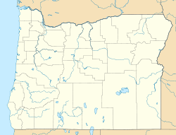
 Clear Lake
Coordinates: 45°2′7″N 123°1′15″W / 45.03528°N 123.02083°WCoordinates: 45°2′7″N 123°1′15″W / 45.03528°N 123.02083°W Country United States State Oregon County Marion Elevation 197 ft (60 m) Time zone Pacific (PST) (UTC-8) - Summer (DST) PDT (UTC-7) ZIP codes FIPS code GNIS feature ID 1119004[1] Clear Lake is an unincorporated city in Marion County, Oregon, United States, just north of Keizer.[1] It is west and north of Oregon Route 219 and east of Wheatland Road N.
It is likely named for Clear Lake which is approximately a half mile west of it, a disconnected meander of the Willamette River.
References
Municipalities and communities of Marion County, Oregon County seat: Salem Cities 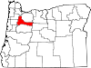
CDPs Brooks | Butteville | Four Corners | Hayesville | Labish Village | Marion | Mehama
Unincorporated
communitiesBreitenbush | Clear Lake | Macleay | McKee | Middle Grove | Monitor | Niagara | North Howell | Pratum | Saint Benedict | Saint Louis | Shaw | Talbot | Waconda | West Stayton
Ghost town Footnotes ‡This populated place also has portions in an adjacent county or counties
Categories:- Unincorporated communities in Marion County, Oregon
- Oregon geography stubs


Wikimedia Foundation. 2010.