- Citrusdal
-
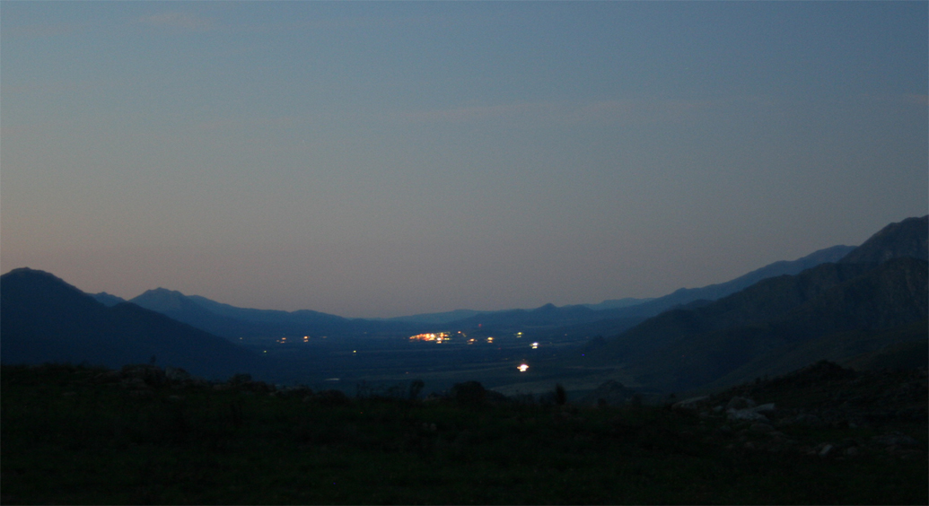
Citrusdal — Town — At view from the Cederberg mountain rage of Citrusdal and some surrounding mountains at night. Location of the town in Western Cape
 CitrusdalLocation of the town in South Africa
 Citrusdal
Coordinates: 32°36′S 19°1′E / 32.6°S 19.017°E Country  South Africa
Province Western Cape District municipality West Coast District Municipality Local municipality Cederberg Local Municipality Population - Total 5,060 Time zone SAST (UTC+2) About the area
Citrusdal is a town with a population of 5,060 in the Western Cape province in South Africa. It is situated on the Olifants River at the base of the Cederberg mountains, 170km north of Cape Town on N7 national road. Agriculture in the area is dominated by citrus fruit farming, hence the town's name. Natural hot water springs occur in the area.
Schools
Citrusdal High which is situated in the Olifant’s River Valley is a small school with appropriately 350 students.
Coordinates: 32°36′00″S 19°01′00″E / 32.6°S 19.0166666667°E

Matzikama • Cederberg • Bergrivier • Saldanha Bay • Swartland
Cities and towns Abbotsdale • Aurora • Bitterfontein • Chatsworth • Citrusdal • Clanwilliam • Darling • Doringbaai • Dwarskersbos • Ebenhaeser • Eendekuil • Elands Bay • Goedverwacht • Graafwater • Grotto Bay • Hopefield • Jacobsbaai • Jakkalsfontein • Kalbaskraal • Klawer • Koekenaap • Koringberg • Lamberts Bay • Langebaan • Langebaanweg • Lutzville • Malmesbury • Moorreesburg • Paternoster • Piketberg • Porterville • Redelinghuys • Riebeek-Kasteel • Riebeek West • Saldanha • St Helena Bay • Strandfontein • Vanrhynsdorp • Velddrif • Vredenburg • Vredendal • Wupperthal • Yzerfontein
Categories:- Western Cape geography stubs
- Populated places in the West Coast District Municipality


Wikimedia Foundation. 2010.