- Miboro Dam
-
Miboro Dam 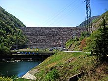
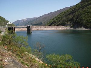
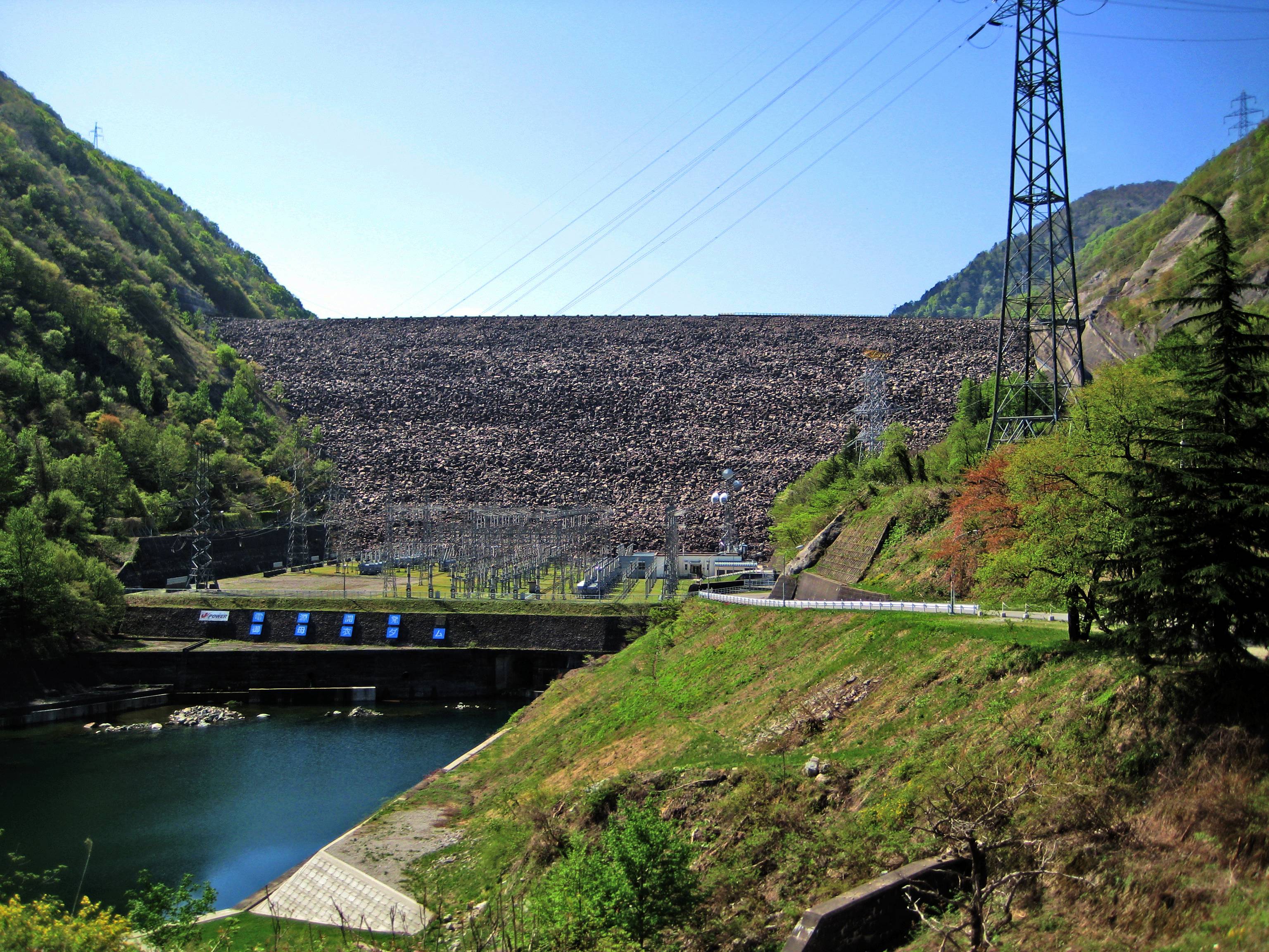
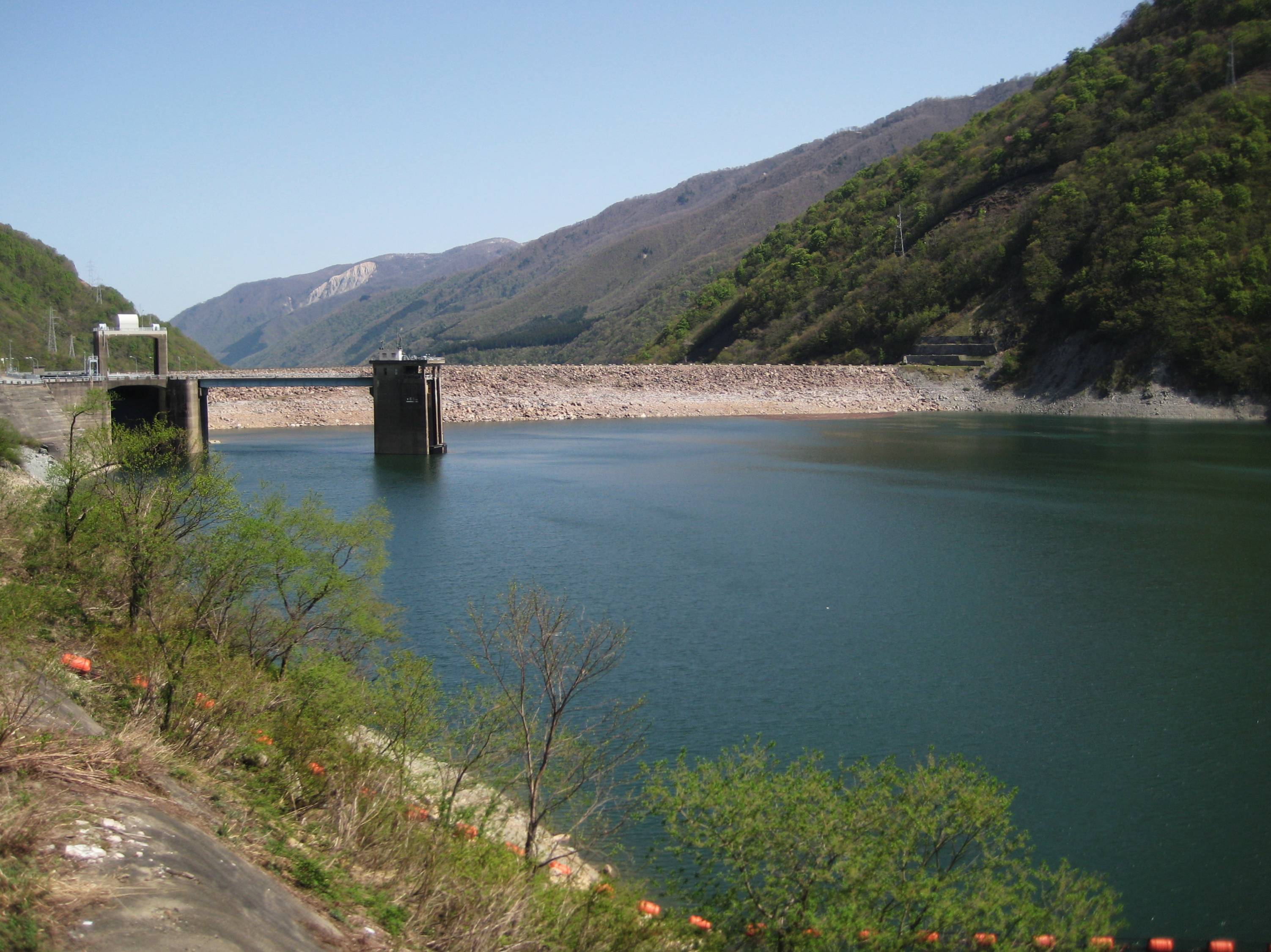
Location Takayama, Gifu Prefecture, Japan. Construction began 1957 Opening date 1961 Dam and spillways Height 131.0 m Length 405.0 m Impounds Shō River Reservoir Capacity 370,000,000 m³ Catchment area 442.8 km² Surface area 880 hectares Miboro Dam (御母衣ダム Miboro damu) is a dam in Takayama, in the Gifu Prefecture of Japan. It supports a 215 MW hydroelectric power station.[1]
The dam flooded several villages and shrines, submerging them completely, two cherry trees were taken from one of the submerged shrines and placed in Shirakawa-go where it's said that each petal represents a memory from someone who lived in the villages before they were flooded.[citation needed]
References
- ^ "Hydropower & Dams in South and East Asia". Hydropower and Dams. p. 9. http://www.hydropower-dams.com/d/d_S&East_Asia_Map.pdf. Retrieved 3 October 2010.
Dams in Gifu Prefecture Asahi Dam · Agigawa Dam · Hosobidani Dam · Iwaya Dam · Kamiōsu Dam · Kobuchi Dam · Kaneyama Dam · Kasagi Dam · Kawabe Dam · Kuze Dam · Kuguno Dam · Maruyama Dam · Mazegawa Dam · Matsuno Dam · Miboro Dam · Nagura Dam · Nishidaira Dam · Ōi Dam · Sakaigawa Dam · Shimohara Dam · Shin'inotani Dam · Takane Dam · Tokuyama Dam · Yokoyama Dam
Coordinates: 36°08′17.7″N 136°54′38.9″E / 36.13825°N 136.910806°ECategories:- Technology articles needing translation from Japanese Wikipedia
- Dams in Gifu Prefecture
- Hydroelectric power stations in Japan
- Japanese dam stubs
Wikimedia Foundation. 2010.