- Ponte Governador Nobre de Carvalho
-
Governor Nobre de Carvalho Bridge 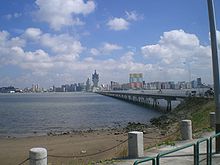
Chinese name Traditional Chinese 嘉樂庇總督大橋 Simplified Chinese 嘉乐庇总督大桥 Transcriptions Mandarin - Hanyu Pinyin Jiālèbì zǒngdū dàqiáo - Wade–Giles Chialepi tsungtu tach'iao Cantonese (Yue) - Jyutping gaa1 lok6 bei2 zong2 duk1 daai6 kiu4 - Yale Romanization ga1 le4 bei3 jung2 duk1 daai6 kiu4 Macau-Taipa Bridge Traditional Chinese 澳氹大橋 Simplified Chinese 澳氹大桥 Transcriptions Mandarin - Hanyu Pinyin Àodàng dàqiáo - Wade–Giles Aotang tach'iao Cantonese (Yue) - Jyutping ou3 tam5 daai6 kiu4 - Yale Romanization ou3 tam5 daai5 kiu4 Portuguese name Portuguese Ponte Governador Nobre de Carvalho Governor Nobre de Carvalho Bridge (Chinese: 嘉樂庇總督大橋; Portuguese: Ponte Governador Nobre de Carvalho), also known as the Macau-Taipa Bridge (Chinese: 澳氹大橋), is a dual-lane two-way bridge connecting Macau Peninsula near Casino Lisboa and the island of Taipa at the northern slope of Taipa Pequena (Small Taipa Hill). It is the first bridge in Macau, to connect the peninsula and Taipa. It is locally known as "The Old Bridge" (Chinese: 舊大橋).
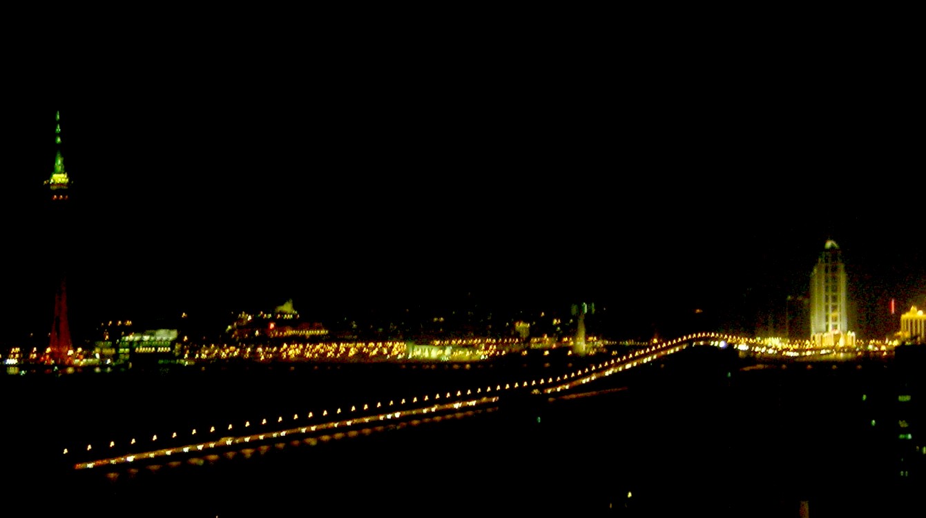
 night view of the bridge.
Construction started in June 1970, during Portuguese rule. With a length of 2,569.8 metres a width of 9.2 metres, it was open to traffic in October 1974. The middle of the bridge is raised, in the shape of a triangular arc, to allow vessels to pass through. The highest point of the bridge is 35 metres above sea level. Once the longest continuous bridge on Earth, it is named after José Manuel de Sousa e Faria Nobre de Carvalho, the Governor of Macau from November 25, 1966 to November 19, 1974.
The bridge is meant to take the shape of a dragon, with Casino Lisboa representing the dragon's head, and Taipa Monument on Taipa Pequena the dragon's tail. Due to the construction around Casino Lisboa, the bridge was temporarily closed in 2005. As of 2006, the bridge is open again, but only to buses and taxis.
Coordinates: 22°10′35″N 113°32′46″E / 22.17639°N 113.54611°E
Categories:- Bridges completed in 1974
- Bridges in Macau
- Transport in Macau
- Asian building and structure stubs
- Macau geography stubs

Wikimedia Foundation. 2010.