- Col des Ares
-
This article is about the pass in Haute-Garonne. For the pass on the border between France and Spain, see Col d'Ares.
Col des Ares Location of Col des Ares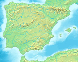
 Col des Ares
Elevation 797 m (2,615 ft) Traversed by D618 Location Location Haute-Garonne  France
Range Pyrenees Coordinates 42°59′27.7″N 0°41′38.4″E / 42.991028°N 0.694°ECoordinates: 42°59′27.7″N 0°41′38.4″E / 42.991028°N 0.694°E Col des Ares (el. 797 m) is a mountain pass located in Haute-Garonne, between Juzet-d'Izaut and Fronsac, some thirty kilometres north of Bagnères-de-Luchon, and south-west of Aspet.
Tour de France
The Col des Ares was first used in the Tour de France in 1910 and has appeared frequently since. The leader over the summit in 1910 was Octave Lapize.
Appearances in Tour de France (since 1947)
From 1947 to 1952, the climb was not classified.
External links
Categories:- Mountain passes of France
- Mountain passes of the Pyrenees
- Climbs in cycle racing
- 2006 Tour de France
- 2008 Tour de France
- Haute-Garonne

Wikimedia Foundation. 2010.