- Nancy Creek (Atlanta)
-
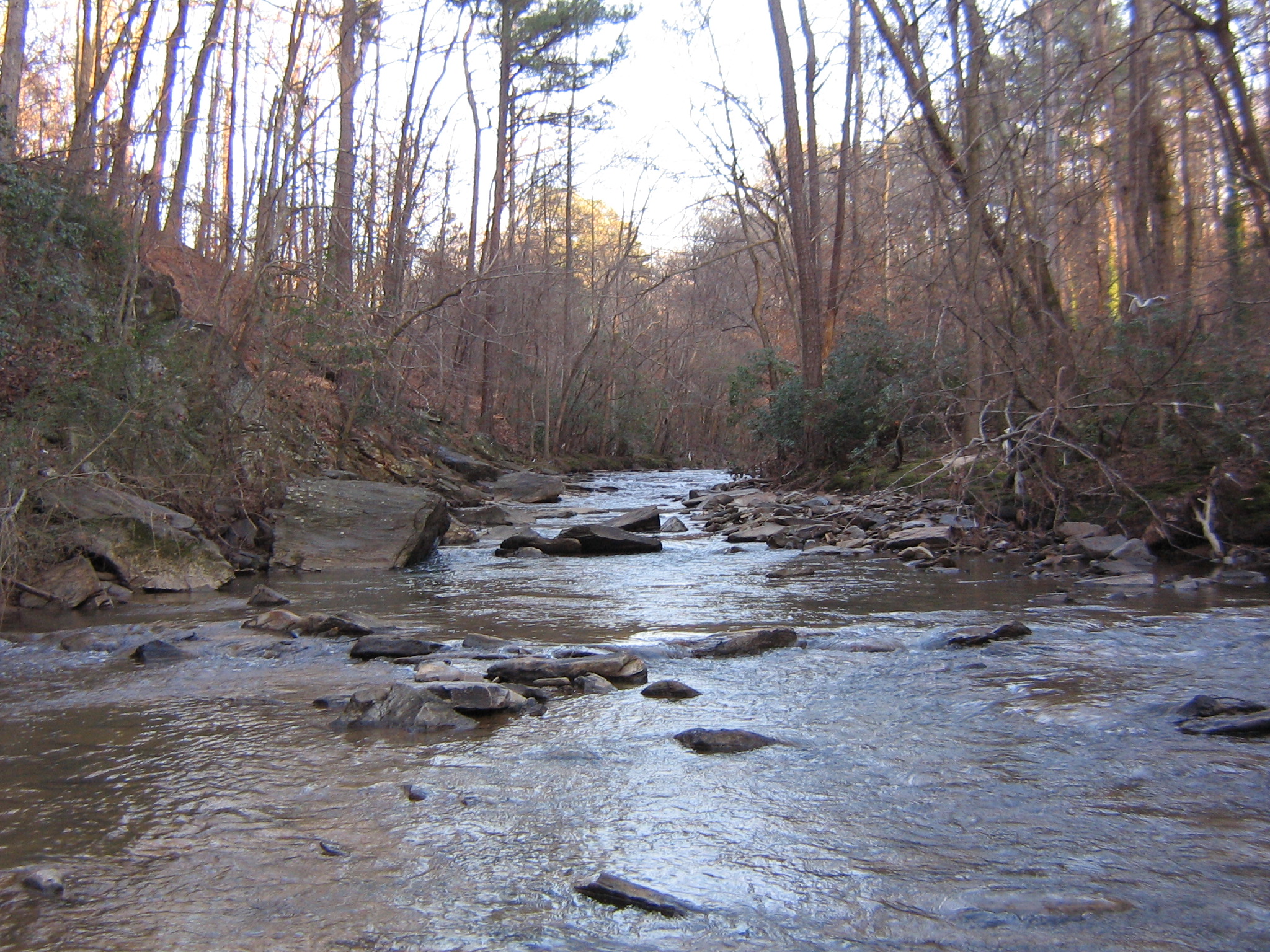
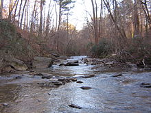 Nancy Creek by Murphey Candler Park
Nancy Creek is a 16.3-mile-long (26.2 km)[1] stream in northern Atlanta, Georgia, United States. It begins in far northern DeKalb County, just north of Chamblee, and flows southwestward into Fulton County, through the far southeast corner of Sandy Springs, then through the Buckhead area of Atlanta. It empties into Peachtree Creek, which then flows into the Chattahoochee River, south of Vinings and Paces. The Chattahoochee eventually joins with the Flint River to create the Apalachicola River, which flows into the Gulf of Mexico. The North Fork Nancy Creek is a major tributary, while Little Nancy Creek tends to run low or dry.
Since 1994, Nancy Creek has had a USGS stream gauge in the Paces neighborhood of Atlanta at West Wesley Road (NANG1, 33°50′18″N 84°26′22″W / 33.83833°N 84.43944°W), with NWS flood stage being 12.0 feet (3.7 m) at that point. The drainage basin above it is 37.7 square miles (98 km2). Since 2003, there is another gauge further upstream in Buckhead at Rickenbacker Drive (NCKG1, 33°52′09″N 84°22′44″W / 33.86917°N 84.37889°WCoordinates: 33°52′09″N 84°22′44″W / 33.86917°N 84.37889°W). The basin at that point is 26.6 square miles (69 km2), above an elevation of 810 feet (250 m), with a flood stage of 11.0 feet (3.4 m). Records of manual observations actually go back to 1961 at both sites (which are considered to be "at Atlanta"), but the latter gauge (often called "at Buckhead" to avoid ambiguity) appears to be the officially-used one.
Especially due to excessive urbanization, Nancy Creek often floods. Prior to September 2009, the most recent was in July 2005, with it reaching 12.9 feet (3.9 m) after the outer rain bands of Hurricane Dennis passed by. This was just after Hurricane Cindy caused it to flood as well, though neither event was considered major.
Hurricane Ivan and Hurricane Frances caused record-high floods less than a year earlier in September 2004. Those massive rains caused a sewer pipe to collapse into the creek due to major erosion, spilling sewage into the creek. The creek reached 15.26 feet (4.65 m) late on September 16, its second-highest ever. While this only lasted a few hours, several residents had to be rescued and evacuated by boat.
Some of the worst flooding ever recorded on Nancy Creek occurred in September 2009 as a result of the 2009 Atlanta floods.[2] It severely damaged the bridge at Peachtree Dunwoody Road, washing out the main center support beam. The bridge was closed for six months until an entirely new two-lane replacement bridge reopened on March 23, 2010. The Emergency Repair Program of the Federal Highway Administration funded 100% of the $1 million cost.
On the evening of September 21, the creek reached 14.69 feet (4.48 m) at Rickenbacker Drive, where it began to overflow the bridge. This falls in fourth place, behind the 1973 record of 15.50 feet (4.72 m) set on December 1. It also reached 18.70 feet (5.70 m) at West Wesley Road, in second place behind the 2004 flood, when it reached 21.34 feet (6.50 m) on September 17.
References
- ^ U.S. Geological Survey. National Hydrography Dataset high-resolution flowline data. The National Map, accessed April 15, 2011
- ^ [1]
External links
- USGS page for Nancy Creek gauge at West Wesley Road
- USGS page for Nancy Creek gauge at Rickenbacker Drive
- ISBN 0820329290 Peachtree Creek: A Natural and Unnatural History of Atlanta's Watershed by David R. Kaufman
Categories:- ACF basin
- Chattahoochee River
- Geography of DeKalb County, Georgia
- Geography of Fulton County, Georgia
- Geography of Atlanta, Georgia
Wikimedia Foundation. 2010.