- Cimarron, Colorado
-
Cimarron, Colorado — Town — In 1883 Location within the state of Colorado
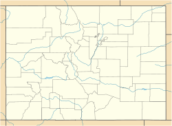
 Cimarron, Colorado
Coordinates: 38°26′30″N 107°33′22″W / 38.44167°N 107.55611°WCoordinates: 38°26′30″N 107°33′22″W / 38.44167°N 107.55611°W Country  United States
State  State of Colorado
County Montrose County Government – Type unincorporated town Elevation[1] 6,896 ft (2,102 m) Time zone MST (UTC-7) – Summer (DST) MDT (UTC-6) ZIP Code 81220[2] Cimarron is an unincorporated town and U.S. Post Office in Montrose County, Colorado, United States. The Cimarron Post Office has the ZIP Code 81220.[2]
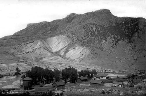
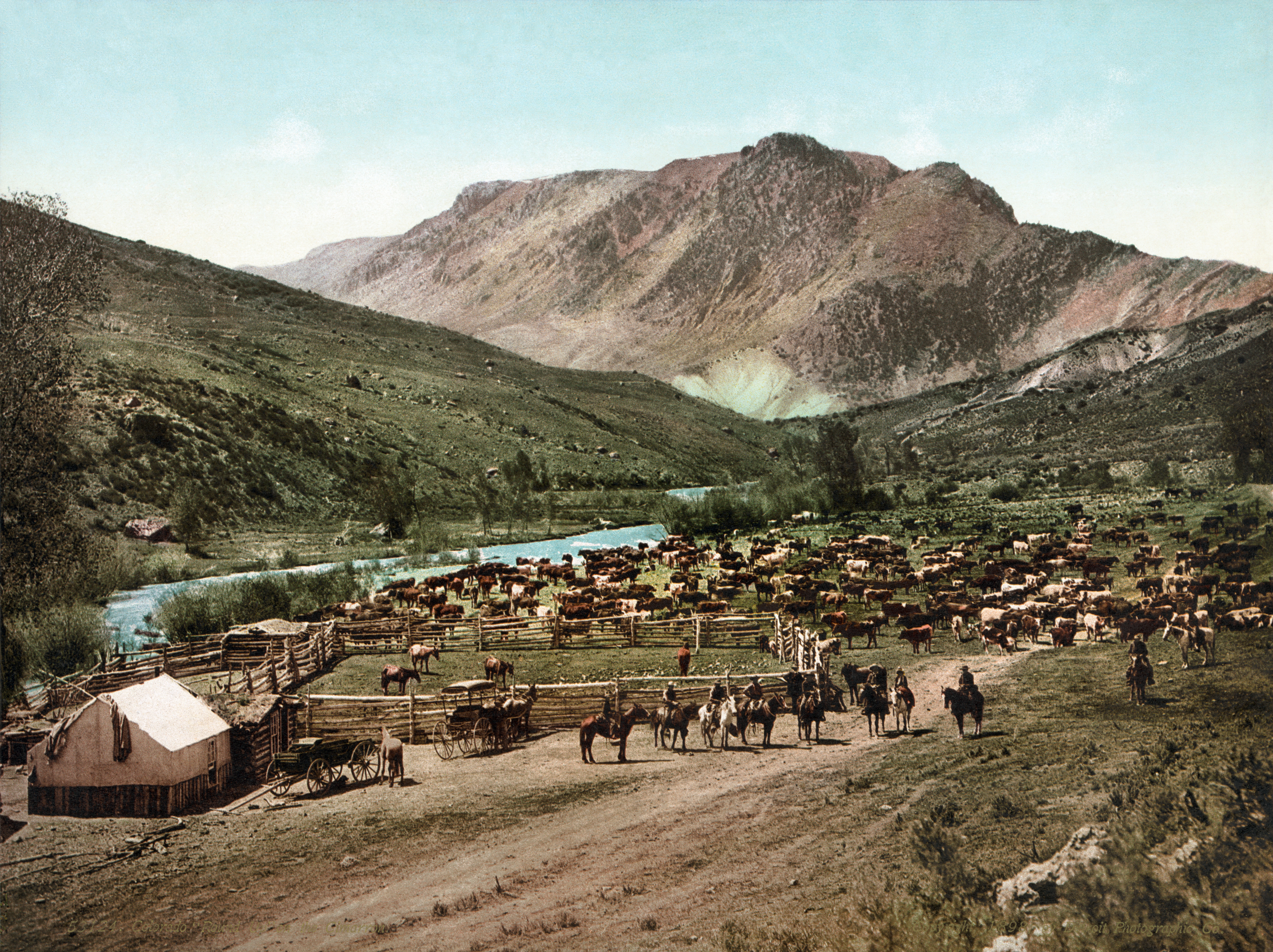
Cimarron is a small community on the Cimarron River, just south of the Black Canyon of the Gunnison, and just outside of Curecanti National Recreation Area. The D & RG Narrow Gauge Trestle crosses the Cimarron River gorge just northeast of town, and is on the National Register of Historic Places (#76000172).
Geography
Cimarron is located at 38°26′30″N 107°33′22″W / 38.44167°N 107.55611°W (38.441758,-107.555981).

See also
- Black Canyon of the Gunnison National Park
- Curecanti National Recreation Area
- List of cities and towns in Colorado
References
- ^ "US Board on Geographic Names". United States Geological Survey. 2007-10-25. http://geonames.usgs.gov. Retrieved 2008-01-31.
- ^ a b "ZIP Code Lookup" (JavaScript/HTML). United States Postal Service. December 15, 2006. http://zip4.usps.com/zip4/citytown.jsp. Retrieved December 15, 2006.
Municipalities and communities of Montrose County, Colorado City 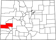
Towns Unincorporated
communitiesGhost town Categories:- Populated places in Montrose County, Colorado
- Unincorporated communities in Colorado


Wikimedia Foundation. 2010.