- Charles River Dam
-
Charles River Dam 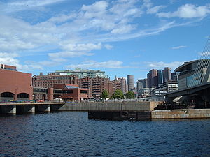
Charles River Dam. Pump building is on the left, locks are in the middle. Note colored chimes on railing.Location of Charles River Dam

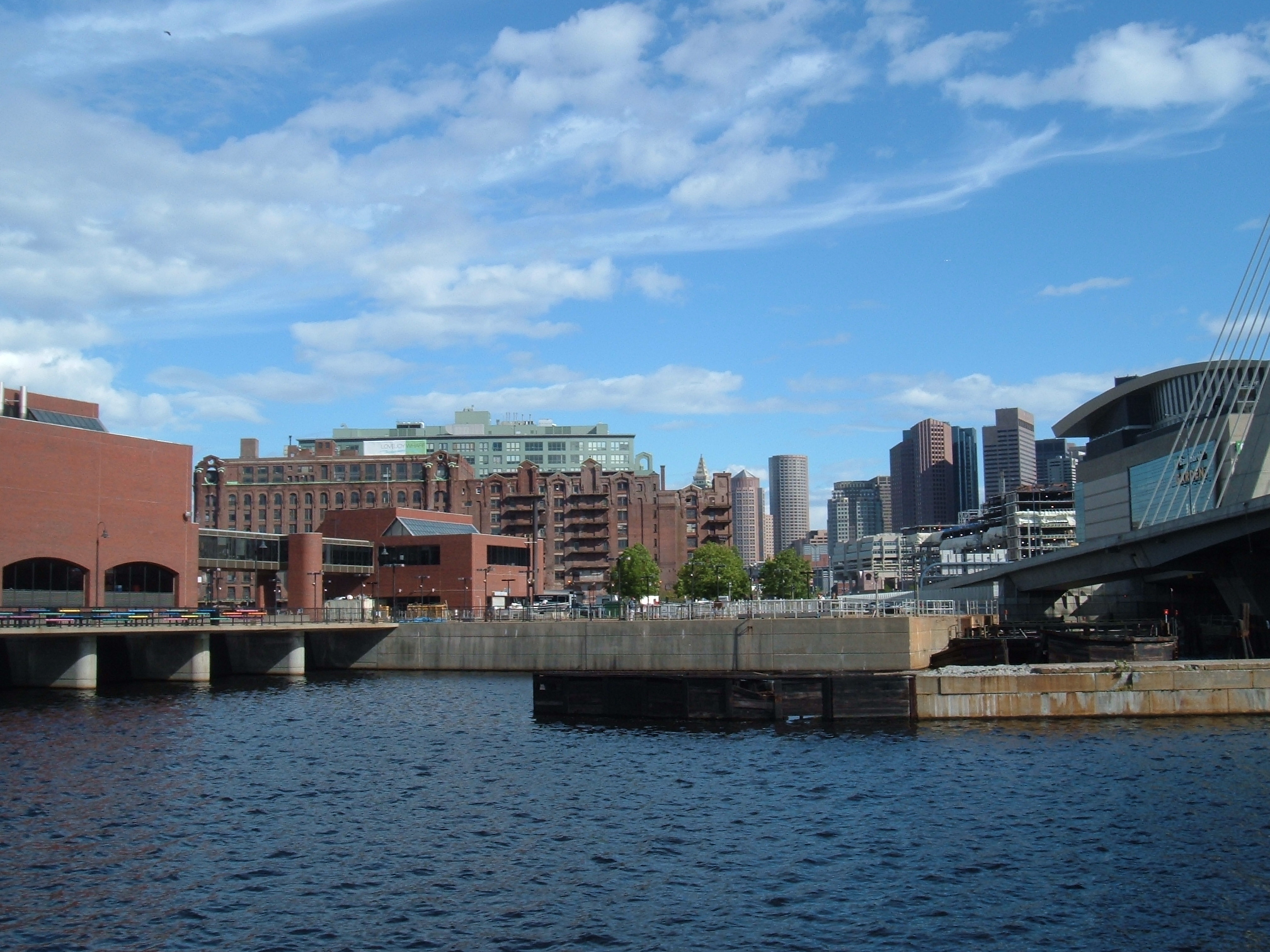
Coordinates 42°22′07″N 71°03′40″W / 42.3685°N 71.061°WCoordinates: 42°22′07″N 71°03′40″W / 42.3685°N 71.061°W The Charles River Dam is a flood control structure on the Charles River in Boston, Massachusetts, located just downstream of the Leonard P. Zakim Bunker Hill Memorial Bridge, near Lovejoy Wharf, on the former location of the Warren Bridge[1].
History
Also known as "The Gridley Dam", named after General Washington's first army engineer Col. Richard Gridley. Built and operational in 1978, the three locks can be crossed by pedestrians as well as bicyclists. It is part of the popular Boston Harborwalk. The dam contains three individual locks, with one wider than the other two to accommodate the occasional passing of a larger vessel. The structure also contains a fish ladder and a pump hydro-station, used when it becomes necessary to expel any accumulation of excess water from the river basin when the harbor tide level rises too high for a natural outflow to the harbor. Six diesel-powered, 2700 horsepower turbo-charged engines drive six pumps with a combined capacity of about 3.7 million US gallons (14,000 m3) per minute.[2]
The purpose of the dam is to control the surface level of the river basin as well its tributary surfaces upstream, such as The Back Bay Fens and Muddy River and to prevent sea water from entering the Charles River freshwater basin during high tides. It replaced the Charles River Dam Bridge (older dam of 1912) upstream where the Boston Museum of Science is now located. The 1912 dam's one lock is now kept open for navigation. The older dam could not keep sea water out and a layer of salt water accumulated at the bottom of the fresh water basin, contributing to pollution and fish migration problems.
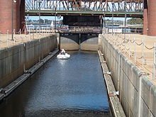 A lock on the Charles River Dam.
The dam's walkway is the site of the "Charlestown Bells", an interactive art installation by Paul Matisse, consisting of a set of multicolored chimes mounted on the railing that passers-by can strike.[3]
References
External links
Crossings of the Charles River Upstream
Leonard P. Zakim Bunker Hill Bridge


Charles River Dam Downstream
Charlestown Bridge
 Categories:
- Charles River
- Dams in Massachusetts
- Buildings and structures in Boston, Massachusetts
- Massachusetts building and structure stubs
- United States dam stubs


Wikimedia Foundation. 2010.