- Martin Place railway station, Sydney
Cityrail Station alt|station_name=Martin Place|
servicearea=Eastern Suburbs & Illawarra Line|servicearea_color=#Illawarra line colour|servicearea_textcolor=white
servicearea2=North West Metro
"(under planning)"
servicearea_color2=black
servicearea_textcolor2=white
code=MPC|suburb=Sydney|street=Macquarie St|distance=2.10|altitude=?|traintype=Suburban all stops
Suburban limited stops
Intercity (peak hour only)|platforms=2|tracks=3 (1 track is a turnback siding)|platform_arr=1 island|stationtype=Underground|gates=Yes|connect=Bus|trainconnect=No|disabled=No
facilities= [http://www.cityrail.info/facilities/facilities.jsp?n=170&giveOutput=true&facility= Link]Martin Place railway station is a station on the
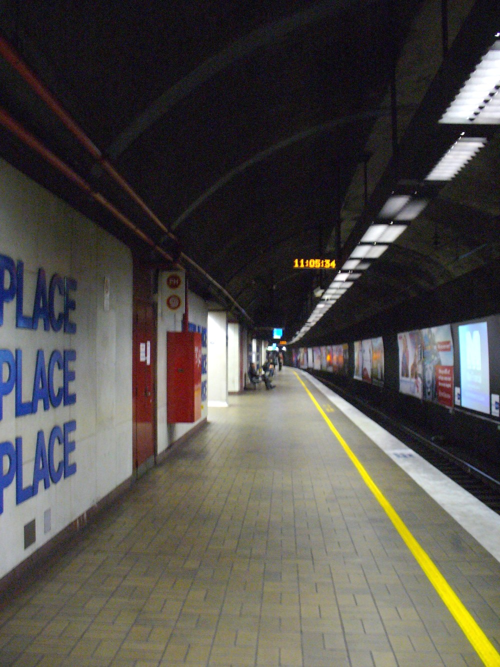
CityRail Eastern Suburbs railway line. It is located underMartin Place in the CBD of the city ofSydney ,Australia . The station opened in 1979 with the opening of the Eastern Suburbs railway line.It has an island platform and a turnback siding. The station hasescalator s connecting the concourse with the platforms, however the station does not have any lifts forEasy Access for wheelchairs. A service tunnel extends from Martin Place railway station underSydney Hospital into The Domain. The tunnel carries air conditioning services from an underground room, which is located beneath two ventilation towers in The Domain, by the side of the road behind Sydney Hospital.Platforms/Service
The basic service is six trains per hour with additional trains at weekday peak hours.
Platform 1
*Illawarra line colour>Eastern Suburbs & Illawarra Line - all stations and limited stops services to Hurstville, Mortdale, Sutherland, Cronulla, and Waterfall.
*South Coast line colour>South Coast Line - peak hour intercity services to Thirroul and Port Kembla.Platform 2
*Illawarra line colour>Eastern Suburbs & Illawarra Line - all stations services to Bondi Junction.
*South Coast line colour>South Coast Line - peak hour intercity services to Bondi Junction (from Thirroul and Port Kembla).Bus Services
Macquarie Street
*200 - to Bondi Junction Railway Station Bus Interchange set down only.
*200 - toChatswood - (Victoria Avenue Set Down (West Side)).
*222 - Bondi Explorer tourist bus (inbound).Elizabeth Street
*311 - to Railway Square (Central Railway Station) - (Lee Street Set Down Only).
*323 - to Vaucluse - (Military Road near Old South Head Road).
*324 - to Watsons Bay - (Military Rd Terminus).
*325 - to Watsons Bay - (Military Rd Terminus).
*326 - to Bondi Junction Railway Station Bus Interchange.
*327 - to Bondi Junction Railway Station Bus Interchange.
*333 - to North Bondi - (Campbell Pde Terminus).
*371 - to Randwick - (Perouse Road & St Paul Streets).
*373 - to Coogee - (Arden & Dolphin Sts).
*X73 - to Coogee - (Arden & Dolphin Sts).
*374 - to Coogee - (Arden & Dolphin Sts).
*X74 - to Coogee - (Arden & Dolphin Sts).
*376 - to Maroubra - (Maroubra Beach).
*377 - to Maroubra - (Maroubra Beach).
*X77 - to Maroubra - (Maroubra Beach).
*380 - to Watsons Bay - (Military Rd Terminus).
*389 - to North Bondi terminus.
*391 - to Port Botany - (Port Botany Terminus); to La Perouse (Anzac Parade Terminus).
*392 - to Little Bay - (Anzac Pde at Prince Henry Hospital).
*X92 - to Little Bay - (Anzac Pde at Prince Henry Hospital).
*394 - to La Perouse - (Anzac Pde Terminus).
*L94 - to La Perouse - (Anzac Pde Terminus).
*X94 - to La Perouse - (Anzac Pde Terminus).
*396 - to Maroubra - (Maroubra Beach).
*X96 - to Maroubra - (Maroubra Beach).
*397 - to South Maroubra - (Minneapolis St & Midway St).
*399 - to Little Bay - (Anzac Pde at Prince Henry Hospital).Castlereagh Street
*301 - to Pagewood - (Eastgardens Shopping Centre - Bunnerong Rd & Wenworth Ave).
*302 - to Pagewood - (Eastgardens Shopping Centre lower level).
*303 - to Sans Souci - (Botany Rd & Hollingshed St).
*303 - to Sans Souci - (Wellington St & Rocky Point Rd).
*309 - to Matraville - (Matraville Hotel - Bunnerong Rd & Franklin Rd).
*309 - to Chifley - (Bunnerong Rd & Moorina Rd).
*309 - to Matraville - (Port Botany Terminus).
*X09 - to Banksmeadow - (Botany Road near Excell Street).
*310 - to Pagewood - (Eastgardens Shopping Centre - Bunnerong Rd & Wenworth Ave).
*X10 - to Pagewood - (Eastgardens Shopping Centre - Bunnerong Rd & Wenworth Ave).
*339 - to Clovelly - (Clovelly Road Terminus).
*X39 - to Clovelly - (Clovelly Road Terminus).
*343 - to Daceyville - (Bunnerong Road near Gardeners Road).
*X43 - to Daceyville - (Bunnerong Road near Gardeners Road).
*422 - to Tempe Bus Depot; toNewtown, New South Wales Bridge (King St).
*423 - to Kingsgrove Bus Depot (Richland St).
*L23 - to Kingsgrove Bus Depot (Richland St).
*426 - to Dulwich Hill (Marrickville Rd near New Canterbury Road).
*428 - to Canterbury (Broughton St, near Canterbury Railway Station.
*L28 - to Canterbury (Broughton St, near Canterbury Railway Station.Trackplan
Neighbouring stations
Gallery
External links
Wikimedia Foundation. 2010.