- Port Botany, New South Wales
Infobox Australian Place | type = suburb
name = Port Botany
city = Sydney
state = NSW
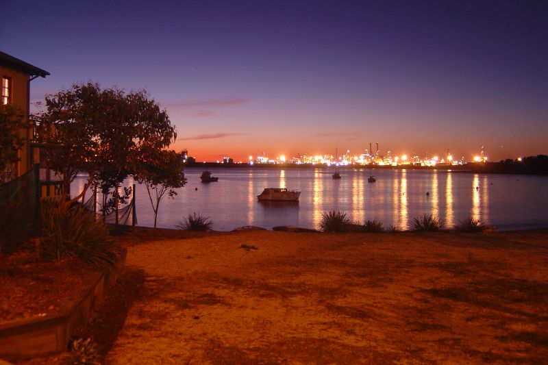
caption = View of Port Botany from La Perouse
lga =City of Randwick
postcode = 2036
est =
pop =
area =
propval =
stategov = Maroubra
fedgov = Kingsford Smith
near-nw = Botany
near-n = Banksmeadow
near-ne = Matraville
near-w = "Sydney Airport "
near-e = Phillip Bay
near-sw = "Botany Bay "
near-s = Kurnell
near-se = La Perouse
dist1 = 12
dir1 = south-east
location1=Sydney CBD Port Botany is a
suburb in south-easternSydney , in the state ofNew South Wales ,Australia . Port Botany is located 12kilometres south-east of theSydney central business district , is in the local government area of theCity of Randwick . Port Botany sits on the northern shore ofBotany Bay , adjacent to the suburbs of Matraville, Banksmeadow and Phillip Bay.History
Botany Bay is where
Captain James Cook first landed on29th April 1770 , when navigating his way around Australia on his ship, the Endeavour. The ship's English botanistJoseph Banks and Swedish assistant botanistDaniel Solander , spent several days on shore collecting vast numbers of specimens, that were previously unknown. Cook's journals first referred to the bay as Sting Rays' Harbour, then later Botanist Bay and finally both these names were crossed out and replaced with Botany Bay. The suburb name comes from the bay it stands on. ["The Book of Sydney Suburbs", Compiled by Frances Pollen, Angus & Robertson Publishers, 1990, Published in Australia ISBN 0-207-14495-8, page 35]Landmarks
Molineaux Point features a memorial to on Botany Bay provides views to La Perouse and Kurnell. A memorial here commemorates the sister ports relationship between Sydney Ports Corporation and Yokkaichi Port Authority, Mie
Japan .Commercial Area
Port Botany is a major commercial area that is serviced by road and rail networks, together with Sydney's nearby international and domestic airports. The two Container Terminal facilities are complemented by a bulk liquids facility and an adjacent bulk liquids storage and distribution complex. [http://www.sydneyports.com.au/ Sydney Ports]
The port is shortly to be expanded with an additional 60 hectares of terminal area. The expansion will cater for continued growth in demand for imports by containers and to provide space for a third
stevedore for Sydney. The expansion is twice the size recommended by an independent Commission of Inquiry in 2004. The Commission's recommendation proposed that increased demand could be atered for the two existing stevedores via improvements in technology and logistics.The concentration of NSW's container trade at Port Botany will see a tripling of containers being processed, and although there are plans to double the current percentage of containers being transported by freight rail from 20% to 40%, there will still be a 200% increase in container trucks on Sydney's roads.Fact|date=August 2008
References
External links
Wikimedia Foundation. 2010.