- Daceyville, New South Wales
-
Daceyville
Sydney, New South Wales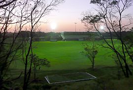
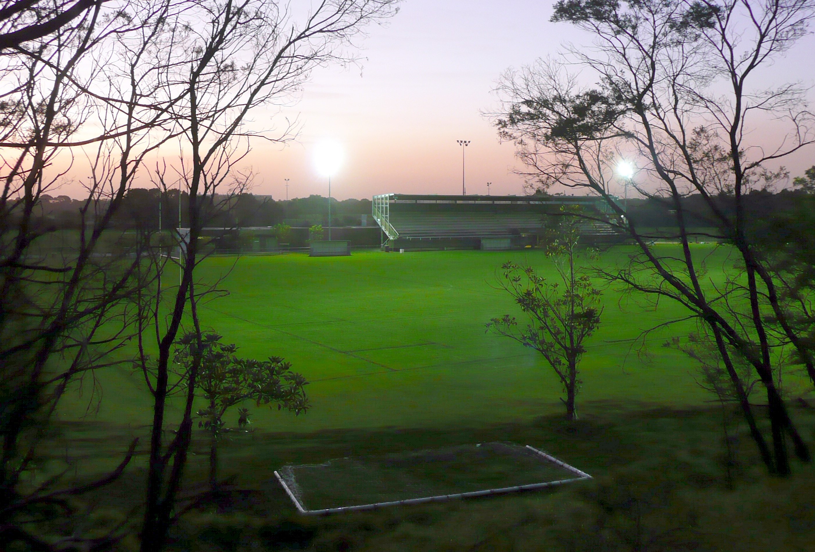
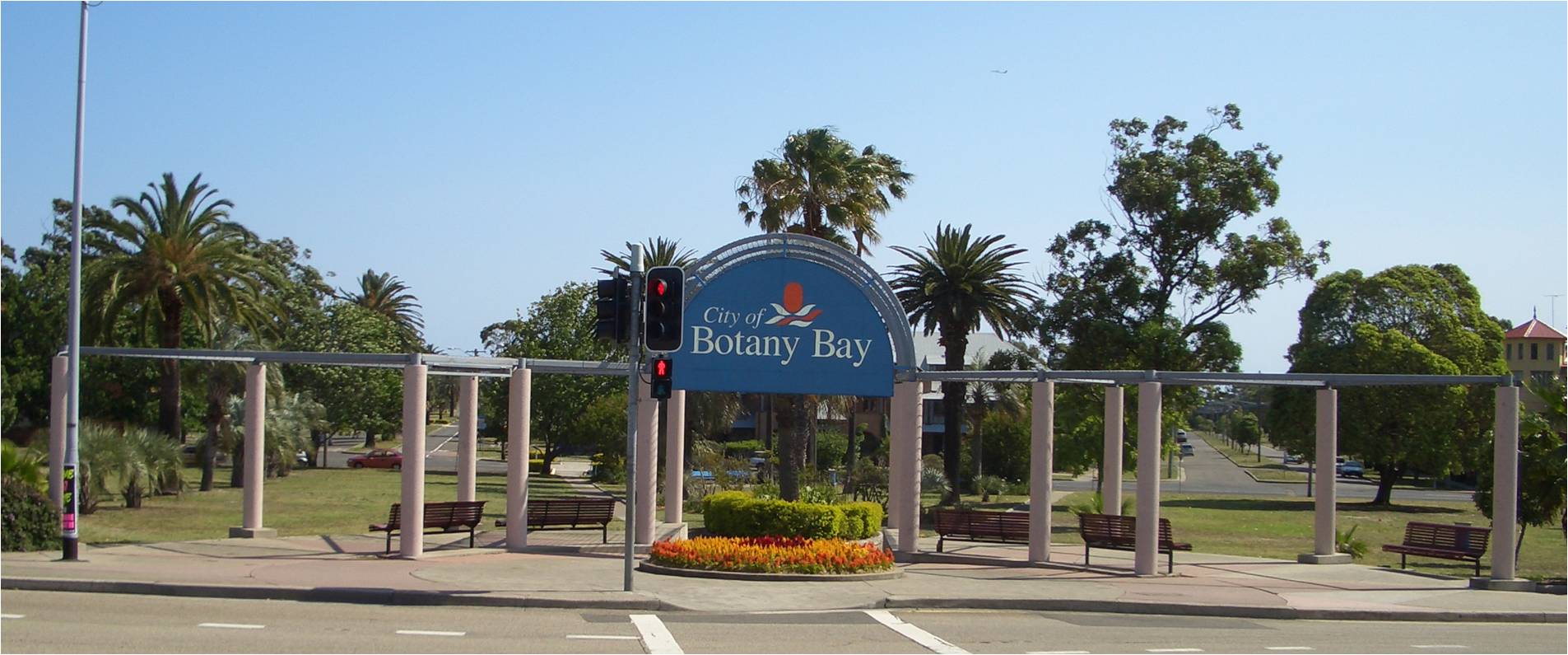
David Phillips Ovals, Gwea AvenuePopulation: 1188 (2006 census) Postcode: 2032 Area: 0.4 km² (0.2 sq mi) Location: 7 km (4 mi) south-east of Sydney CBD LGA: City of Botany Bay State District: Maroubra Federal Division: Kingsford Smith Suburbs around Daceyville: Rosebery Kingsford Randwick Eastlakes Daceyville Kingsford Pagewood Eastgardens Maroubra Daceyville is a suburb in south-eastern Sydney, in the state of New South Wales, Australia. Daceyville is located 7 km southeast of the Sydney central business district and is part of the City of Botany Bay.[1]
Daceyville is a mostly residential suburb, surrounded by the suburbs of Kingsford, Eastlakes and Pagewood.
Contents
History
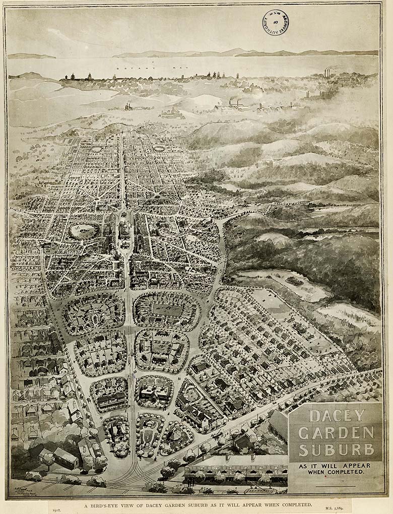
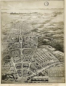 A bird's-eye view of Dacey Garden Suburb (1918)
Daceyville was named after John Rowland Dacey (1854–1912),[2] a state parliamentarian for the area from 1895 to 1912, who urged the creation of a garden suburb modelled on the garden suburb of Letchworth in London, England. The plan was executed after his death with a plan to provide low-cost housing for working-class people in Australia's first garden city. Sir John Sulman (1849–1934) planned the estate on crown land that had been reserved as a water conservation site.[3] Daceyville was listed on the Register of the National Estate in 1991.[4]
Trams
Main article: Trams in SydneyThe former Dacyville tram line opened in 1913 with services from Circular Quay via Waterloo. The line branched from the Botany Road line at Gardners Road, and passed east along Gardners Road to join the lines at Anzac Pde at what was known as Daceyville Junction. It included a large collection of sidings at the former Rosebery Racecourse, now the site of The Lakes Golf Course. Some services were extended to Maroubra Beach via the Anzac Parade lines. The line closed in 1957.
Educational facilities
Daceyville Public School is situated on a five-acre site between Bunnerong Road and Banks Avenue. Application was originally made for a public school in the area in 1913, but only an infants school was initially approved. This opened at Astrolabe Road in 1914. It became a primary school in 1917.
As the suburb grew, the school became inadequate and a new site of five acres was obtained from the Housing Board, at the present site. A new building was constructed in 1921, but the new school rapidly outgrew its new premises, leading to further extensions that were completed in 1925.[5]
Gallery
-
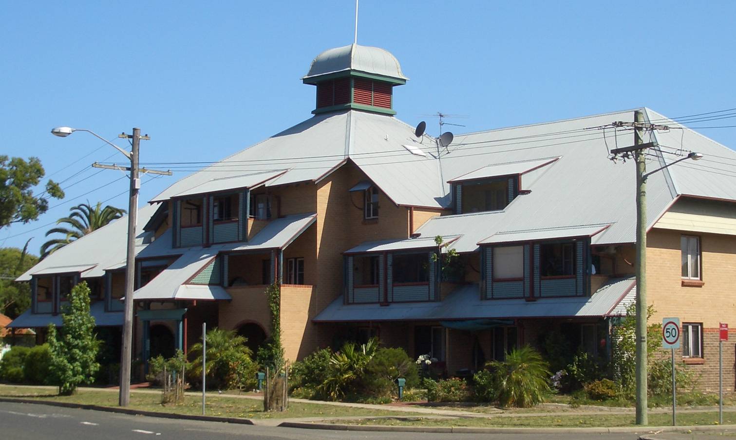
General Bridges Crescent, Daceyville
-
General Bridges Crescent, Daceyville
-
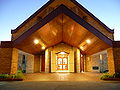
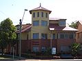
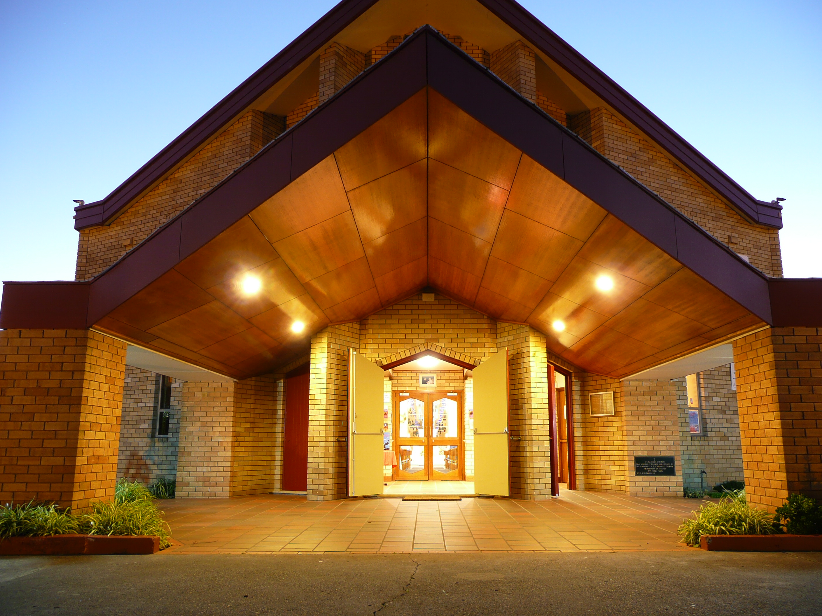
St Michael's Catholic Church, Banks Avenue
-
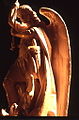
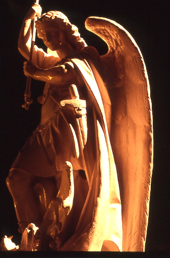
Statue of St Michael, St Michael's Church
-
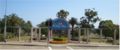
Dacey Gardens
-

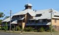
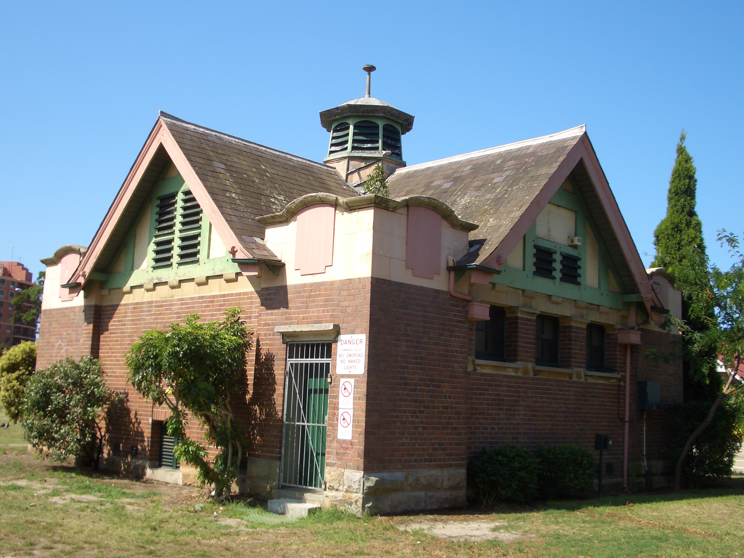
Maintenance depot, Dacey Gardens
-
Semidetached homes in Arts and Crafts style which go back to the original 1915 plans, Cook Avenue
-

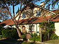
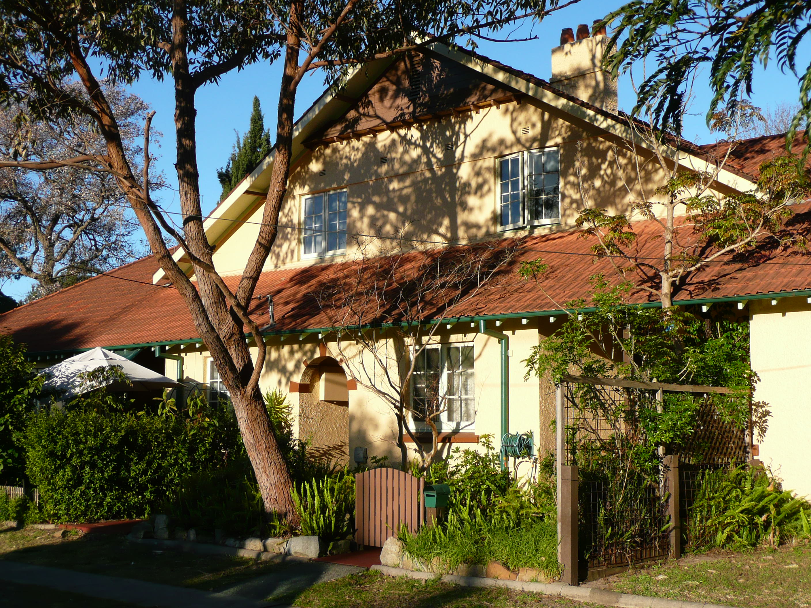
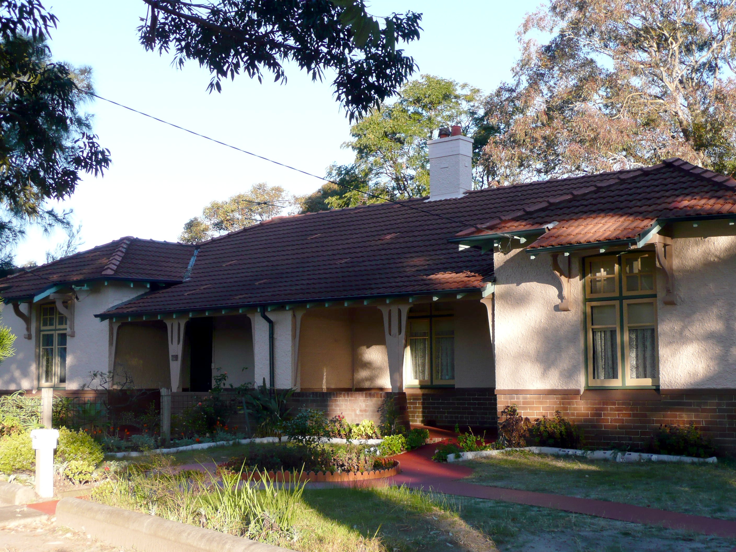
Federation Bungalow, Gardeners Road
References
- ^ Gregory's Sydney Street Directory, Gregory's Publishing Company, 2007
- ^ adb online
- ^ Book of Sydney Suburbs, Frances Pollon (Angus and Robertson) 1990, pages 76-77
- ^ "Entry AHD13677". Australian Heritage Database. Department of Sustainability, Environment, Water, Population and Communities. http://www.environment.gov.au/cgi-bin/ahdb/search.pl?mode=place_detail;place_id=13677. Retrieved 11 June 2009.
- ^ nsw public schools
External links
- Daceyville, New South Wales is at coordinates 33°55′41″S 151°13′25″E / 33.92793°S 151.22349°ECoordinates: 33°55′41″S 151°13′25″E / 33.92793°S 151.22349°E
Suburbs and localities within the City of Botany Bay · South-eastern Sydney · Sydney Banksmeadow · Botany · Daceyville · Eastgardens · Eastlakes · Hillsdale · Mascot · Pagewood
Categories:- Suburbs of Sydney
-

Wikimedia Foundation. 2010.