- Mount Ashland
-
This article is about Mount Ashland. For the ski area, see Mount Ashland Ski Area.
Mount Ashland 
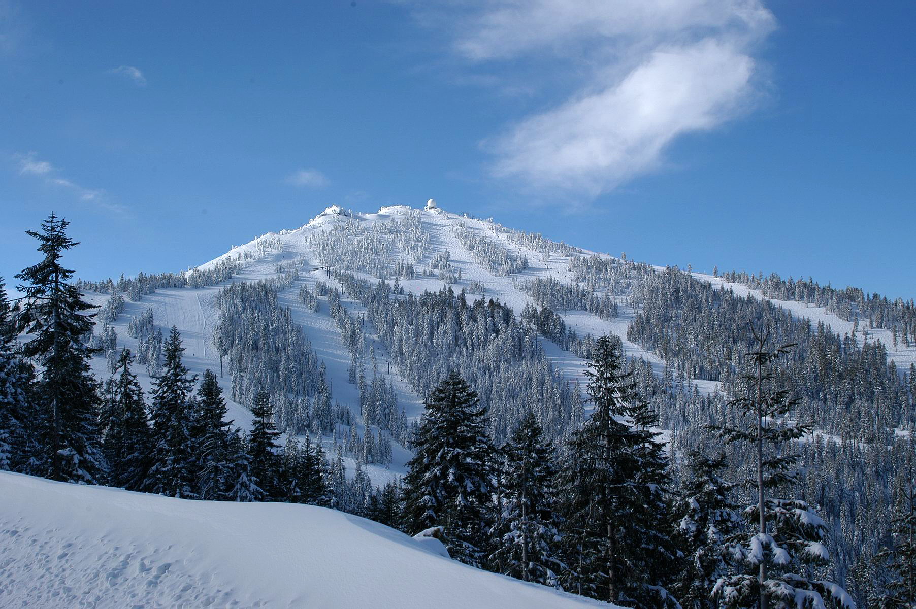
Mount Ashland ski area in winterElevation 7,532 ft (2,296 m) NAVD 88[1] Prominence 3,132 ft (955 m) [2] Location Jackson County, Oregon, USA
 Mount Ashland
Range Siskiyou Mountains Coordinates 42°04′51″N 122°43′01″W / 42.080738733°N 122.716878000°WCoordinates: 42°04′51″N 122°43′01″W / 42.080738733°N 122.716878000°W[1] Topo map USGS Mount Ashland[3] Mount Ashland is the highest peak in the Siskiyou Mountains of southern Oregon.[2] It was named for the city of Ashland, located 8.6 miles (14 km) north of the mountain. The Siskiyou Mountains are in the northern Klamath Mountains in northwestern California and southwestern Oregon. The mountain is part of the Rogue River-Siskiyou National Forest, which encompasses most of the Siskiyou Mountains. The Oregon-California border is five miles (8 km) south of the mountain.
Recreation
Mount Ashland Ski Area, located on the mountain, features 23 trails on 200 acres (81 ha) served by four lifts.
References
- ^ a b "Ashland Pk Reset". NGS data sheet. U.S. National Geodetic Survey. http://www.ngs.noaa.gov/cgi-bin/ds_mark.prl?PidBox=NZ1080.
- ^ a b "Mount Ashland, Oregon". Peakbagger.com. http://www.peakbagger.com/peak.aspx?pid=1105. Retrieved 2008-04-02.
- ^ "Mount Ashland". Geographic Names Information System, U.S. Geological Survey. http://geonames.usgs.gov/pls/gnispublic/f?p=gnispq:3:::NO::P3_FID:1158108.
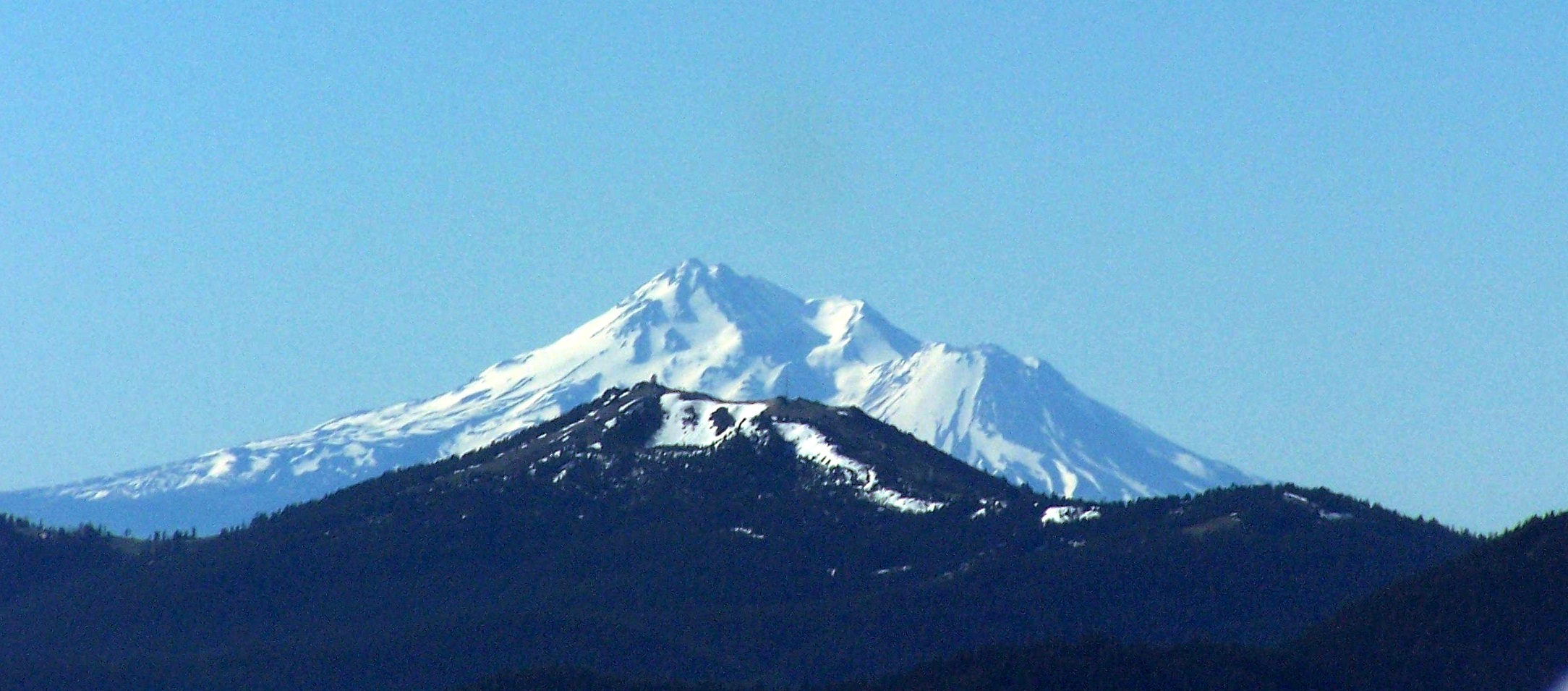
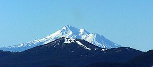 An aerial image of Mount Ashland with Mount Shasta behind it
 Categories:
- Klamath Mountains
- Mountains of Oregon
- Landforms of Jackson County, Oregon
- Oregon geography stubs

Wikimedia Foundation. 2010.