- Mount Hood Skibowl
-
Coordinates: 45°18′06″N 121°46′24″W / 45.30180°N 121.77321°W
Mount Hood Skibowl 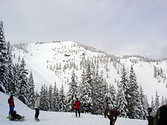
SkiBowl Peak in the WinterLocation Mount Hood, Clackamas County, Oregon, US Nearest city Government Camp immediately north, Portland 60 miles (100 km) west Top elevation 5,027 feet (1,532 m) Base elevation 3,500 feet (1,067 m) Skiable area 960 acres (388 ha) Runs 65 Longest run 3.0 miles (4.8 km) Lift system 4 chairs, 3 rope tow, 1 platter lift, 1 tubing tow Snowfall yearly snowfall: 25 ft (7.62 m)
average pack: 8 ft (2.44 m)[1]Night skiing Yes, 4 chairlifts Web site Mount Hood Skibowl Mount Hood Skibowl is a recreation area on Mount Hood located near Government Camp, Oregon. It is the largest night ski area in the United States, and the total skiable area encompasses an area of 960 acres (388 ha) (about two thirds of this is lit). The resort is the closest ski venue to Portland, with an elevation of 3,600 feet (1,097 m) at the lodge, rising to just over 5,000 feet (1,524 m) at the summit. The average snowfall at the area is 300 inches (762 cm), with an average consolidated base around 100 inches (254 cm) and 65 marked trails. The area is also popular for summer recreation with mountain bikers and The alpine slide as well as other outdoor activities. Just across the highway is Government Camp, the focal point of Mount Hood.
Skibowl is owned by Kirk Hanna and operated by Hans Wipper.
Gallery
-
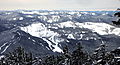
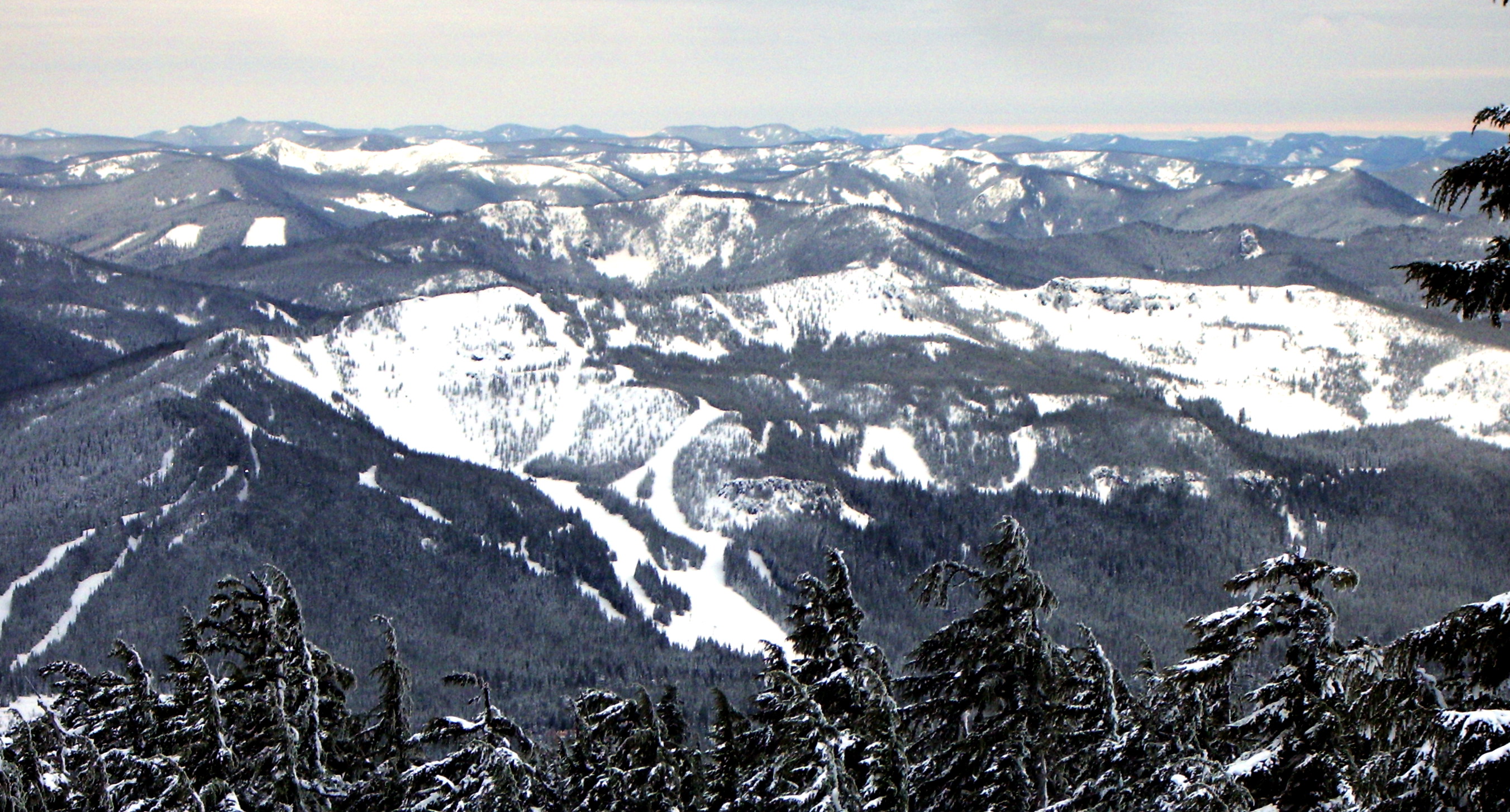
Skibowl seen from Timberline Lodge ski area as night falls
-
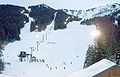
View from main lodge as night skiing begins
-
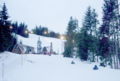
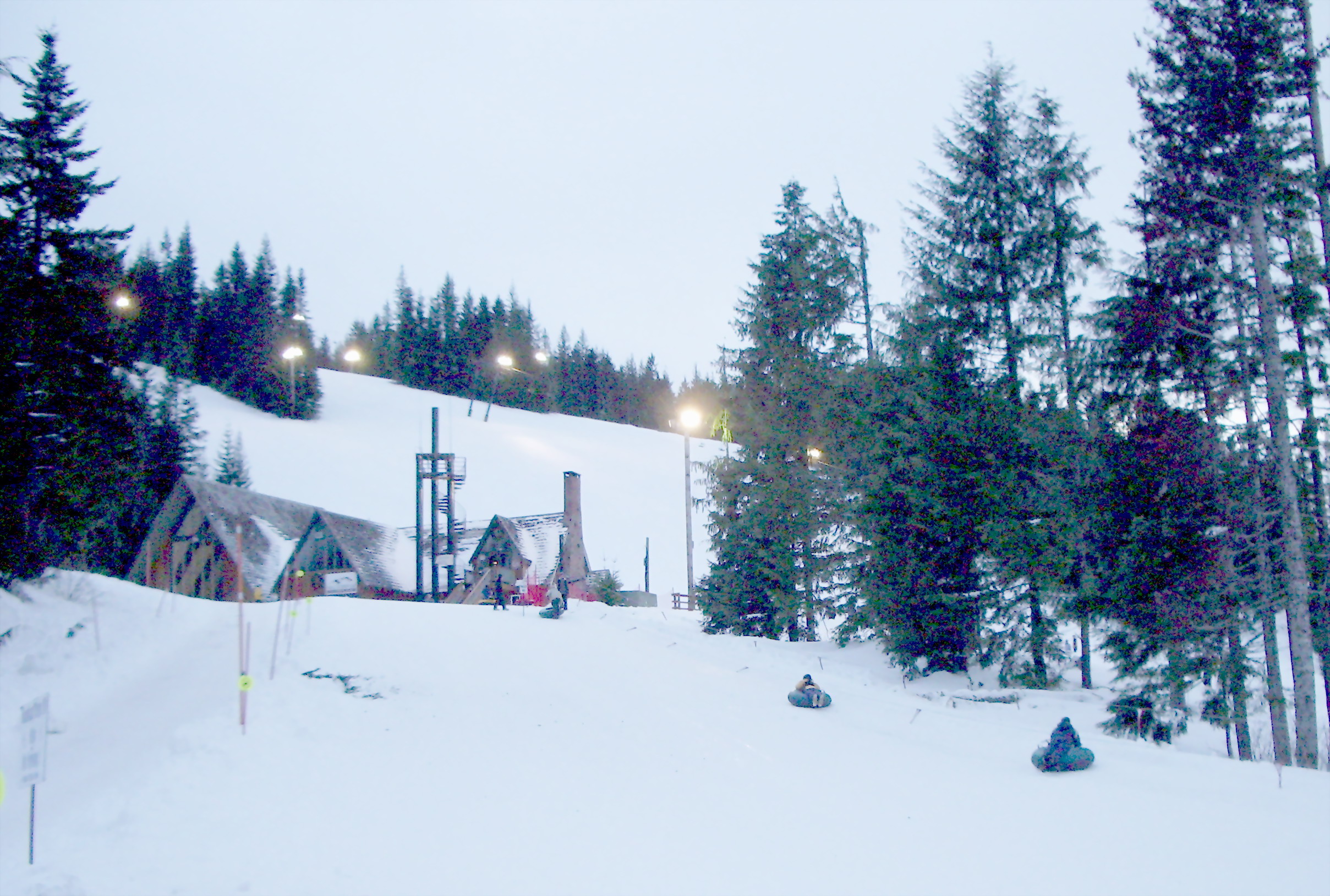
East lodge and part of tubing hill
References
- ^ "Mountain Stats". Mt. Hood Skibowl. Archived from the original on 2007-12-25. http://web.archive.org/web/20071225174555/http://skibowl.com/index.php?page=mountain-stats. Retrieved 2008-02-02.
External links
Ski areas and resorts in Oregon Mount Hood Region Central Oregon Hoodoo • Mount Bachelor • Willamette PassEastern Oregon Anthony Lakes • Ferguson Ridge • Spout SpringsSouthern Oregon Categories:- Buildings and structures in Clackamas County, Oregon
- Ski areas and resorts in Oregon
- Mount Hood
- Visitor attractions in Clackamas County, Oregon
- Geography of Clackamas County, Oregon
-


Wikimedia Foundation. 2010.