Cities and Counties of Gyeonggi-do

Cities and Counties of Gyeonggi-do
Administrative divisions
of South Korea
Provincial level
Province
(道 도 do)
Special Self-Governing Province
(特別自治道 특별자치도 teukbyeoljachi-do)
Special city
(特別市 특별시 teukbyeol-si)
Metropolitan city
(廣域市 광역시 gwangyeok-si)
Municipal level
City
(市 시 si)
County
(郡 군 gun)
District
(區 구 gu)
Town
(邑 읍 eup)
Township
(面 면 myeon)
Neighbourhood
(洞 동 dong)
Ri
(里 리 ri)

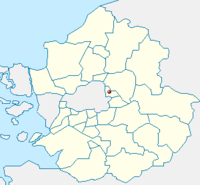
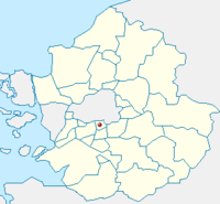
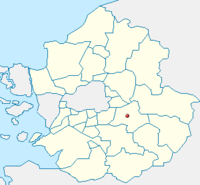
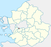
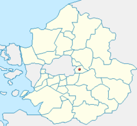
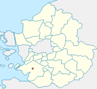
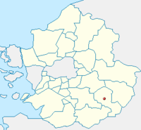
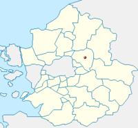
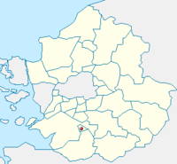
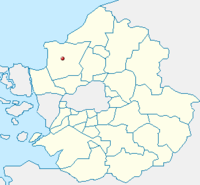
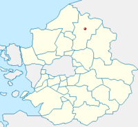
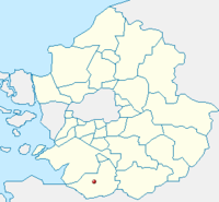
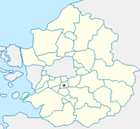
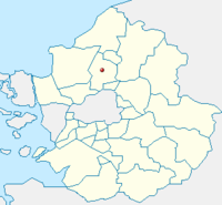
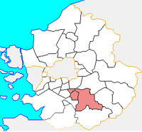
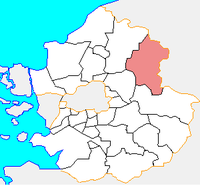
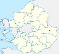
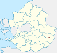
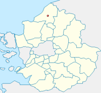
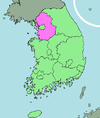
Gyeonggi-do is divided into 27 cities (si) and 4 counties (gun). Listed below is each entity's name in English, hangul and hanja.

Contents

Cities

  • Suwon (수원시, 水原市, capital)
  • Ansan (안산시, 安山市)
  • Anseong (안성시, 安城市)
  • Anyang (안양시, 安養市)
  • Bucheon (부천시, 富川市)
  • Dongducheon (동두천시, 東豆川市)
  • Gimpo (김포시, 金浦市)
  • Goyang (고양시, 高陽市)
  • Gunpo (군포시, 軍浦市)
  • Guri (구리시, 九里市)
  • Gwacheon (과천시, 果川市)
  • Gwangju (광주시, 廣州市)
  • Gwangmyeong (광명시, 光明市)
  • Hanam (하남시, 河南市)
  • Hwaseong (화성시, 華城市)
  • Icheon (이천시, 利川市)
  • Namyangju (남양주시, 南楊州市)
  • Osan (오산시, 烏山市)

Counties

  • Gapyeong County (가평군, 加平郡)
  • Yangpyeong County (양평군, 揚平郡)

List by Population and Area

Name Population Area Population Density
Ansan 742,788 144.78 km² 5,130.5 /km²
Anseong 167,511 553.46 km² 302.7 /km²
Anyang 622,379 58.52 km² 10,635.3 /km²
Bucheon 869,455 53.44 km² 16,269.7 /km²
Dongducheon 93,718 95.66 km² 979.7 /km²
Gimpo 232,364 276.64 km² 840.0 /km²
Goyang 938,784 267.31 km² 3,512.0 /km²
Gunpo 278,790 36.38 km² 7,663.2 /km²
Guri 194,342 33.3 km² 5,836.1 /km²
Gwacheon 72,088 35.81 km² 2,013.1 /km²
Gwangju 242,559 430.69 km² 563.2 /km²
Gwangmyeong 334,526 38.5 km² 8,687.0 /km²
Hanam 139,414 93.07 km² 1,497.9 /km²
Hwaseong 497,907 844 km² 590.0 /km²
Icheon 196,230 461.20 km² 425.5 /km²
Namyangju 551,395 458.44 km² 1,202.8 /km²
Osan 166,809 42.76 km² 3,905.1 /km²
Paju 341,203 672.42 km² 507.4 /km²
Pocheon 159,490 826.38 km² 193.0 /km²
Pyeongtaek 406,191 452.18 km² 898.3 /km²
Seongnam 970,847 141.82 km² 6,845.6 /km²
Siheung 417,037 166.6 km² 2,503.2 /km²
Suwon 1,095,957 121.09 km² 9,050.8 /km²
Uijeongbu 430,769 81.59 km² 5,279.7 /km²
Uiwang 135,058 53.95 km² 2,503.4 /km²
Yangju 179,923 310.34 km² 579.8 /km²
Yongin 866,759 591.32 km² 1,465.8 /km²
Gapyeong County 56,815 843.46 km² 67.3 /km²
Yangpyeong County 92,529 877.08 km² 105.5 /km²
Yeoju County 107,121 607.79 km² 176.2 /km²
Yeoncheon County 45,572 695.61 km² 65.5 /km²

General information

Name Sub-Divisions Points of Interest Image Location Description
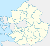
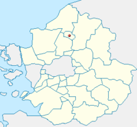
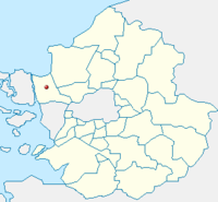
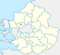
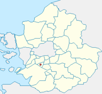
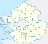
Ansan Map Ansan-si.png
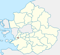
Anseong Map Anseong-si.png
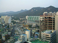
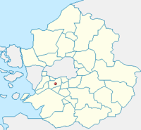
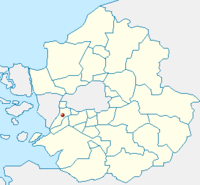
Anyang Anyang skyline.jpg Map Anyang-si.png
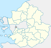
Bucheon Map Bucheon-si.png
Dongducheon Map Dongducheon-si.png
Gimpo Map Gimpo-si.png
Goyang Map Goyang-si.png
Gunpo Map Gunpo-si.png
Guri Map Guri-si.png
Gwacheon Map Gwacheon-si.png
Gwangju Map Gwangju-si.png
Gwangmyeong Map Gwangmyeong-si.png
Hanam Map Hanam-si.png
Hwaseong Map Hwaseong-si.png
Icheon Map Icheon-si.png
Namyangju Map Namyangju-si.png
Osan Map Osan-si.png
Paju Map Paju-si.png
Pocheon Map Pocheon-si.png
Pyeongtaek Map Pyeongtaek-si.png
Seongnam Map Seongnam-si.png
Siheung Map Siheung-si.png
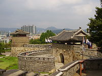
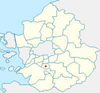
Suwon Hwaseong west gate.jpg Map Suwon-si.png This is the capital of Gyeonggi-do.
Uijeongbu Map Uijeongbu-si.png
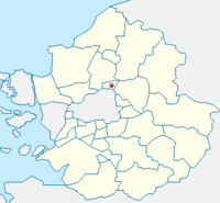
Uiwang Map Uiwang-si.png
Yangju Map Yangju-si.png
Yongin Map Yongin-si.png
Gapyeong County Map Gapyeong-gun.png
Yangpyeong County Map Yangpyeong-gun.png
Yeoju County Map Yeoju-gun.png
Yeoncheon County Map Yeoncheon-gun.png

See also


Wikimedia Foundation. 2010.

Игры ⚽ Нужен реферат?

Look at other dictionaries:

  • List of cities in South Korea — Administrative divisions of South Korea Provincial level Province (道 도 do) Special Self Governing Province (特別自治道 특별자치도 teukbyeoljachi do) Special city (特別市 특별시 teukbyeol si) M …   Wikipedia

  • List of counties in South Korea — List of all counties in South Korea: Map of South Korean counties in teal. Administrative divisions of South Korea Provincial level Pr …   Wikipedia

  • Gyeonggi-do — Coordinates: 37°30′N 127°15′E / 37.5°N 127.25°E / 37.5; 127.25 …   Wikipedia

  • Cities of South Korea — The largest cities of South Korea have self governing status equivalent to that of provinces. Seoul, the largest city and capital, is classified as a teukbyeolsi (Special City), while the next 6 largest cities (see the list below) are classified… …   Wikipedia

  • Gwangju, Gyeonggi — Infobox Korean settlement title=Gwangju logo=Gwangju si logo.gif hangul=광주시 hanja=廣州市 rr=Gwangju si mr=Kwangju si area km2=431.61 pop=214498 popyear=2006 popden km2=497 divs=1 eup , 3 dong , 6 myeon Gwangju is a city in Gyeonggi Province, South… …   Wikipedia

  • Seoul National Capital Area — Infobox Korean name hangul = 수도권 hanja = 首都圈 rr = Sudogwon mr = SudokwŏnThe Seoul National Capital Area (SNCA) is a region located in the north west of South Korea. It is generally referred to as Sudogwon in Korean, and contains three different… …   Wikipedia

  • Hwaseong, Gyeonggi — For other places with the same name, see Hwaseong (disambiguation). Hwaseong 화성 華城   Municipal City   Korean transcription(s)  – Hangul 화성시  – Hanj …   Wikipedia

  • List of enclaves and exclaves — In political geography, an enclave is a piece of land which is totally surrounded by a foreign territory, and an exclave is one which is politically attached to a larger piece but not actually contiguous with it. Many entities are both enclaves… …   Wikipedia

  • Chungcheongbuk-do — Coordinates: 36°45′N 127°45′E / 36.75°N 127.75°E / 36.75; 127.75 …   Wikipedia

  • Chungcheongnam-do — Coordinates: 36°30′N 126°45′E / 36.5°N 126.75°E / 36.5; 126.75 …   Wikipedia

Share the article and excerpts

Direct link
Do a right-click on the link above
and select “Copy Link”