- Dell Prairie, Wisconsin
-
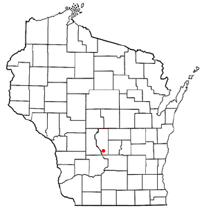
Dell Prairie, Wisconsin — Town — Location of Dell Prairie, Wisconsin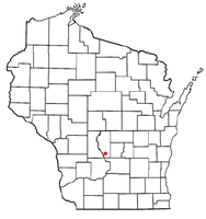
Coordinates: 43°41′7″N 89°46′14″W / 43.68528°N 89.77056°WCoordinates: 43°41′7″N 89°46′14″W / 43.68528°N 89.77056°W Country United States State Wisconsin County Adams Area – Total 34.5 sq mi (89.3 km2) – Land 33.3 sq mi (86.3 km2) – Water 1.2 sq mi (3.0 km2) Elevation[1] 988 ft (301 m) Population (2000) – Total 1,415 – Density 42.4/sq mi (16.4/km2) Time zone Central (CST) (UTC-6) – Summer (DST) CDT (UTC-5) FIPS code 55-19575[2] GNIS feature ID 1583071[1] Dell Prairie is a town in Adams County in the U.S. state of Wisconsin. The population was 1,415 at the 2000 census. The unincorporated community of Plainville is located in the town.
Geography
Dell Prairie is located at 43°21′22″N 89°44′52″W / 43.35611°N 89.74778°W (43.689600, -89.748050).[3]
According to the United States Census Bureau, the town has a total area of 34.5 square miles (89.3 km²), of which, 33.3 square miles (86.4 km²) of it is land and 1.2 square miles (3.0 km²) of it (3.36%) is water.
Demographics
As of the census[2] of 2000, there were 1,415 people, 553 households, and 403 families residing in the town. The population density was 42.4 people per square mile (16.4/km²). There were 754 housing units at an average density of 22.6 per square mile (8.7/km²). The racial makeup of the town was 96.89% White, 0.64% African American, 1.48% Native American, 0.49% Asian, and 0.49% from two or more races. Hispanic or Latino of any race were 1.34% of the population.
There were 553 households out of which 29.7% had children under the age of 18 living with them, 62.7% were married couples living together, 6.0% had a female householder with no husband present, and 27.1% were non-families. 21.3% of all households were made up of individuals and 8.0% had someone living alone who was 65 years of age or older. The average household size was 2.51 and the average family size was 2.89.
In the town the population was spread out with 22.7% under the age of 18, 6.1% from 18 to 24, 27.1% from 25 to 44, 30.1% from 45 to 64, and 14.0% who were 65 years of age or older. The median age was 41 years. For every 100 females there were 107.8 males. For every 100 females age 18 and over, there were 103.0 males.
The median income for a household in the town was $43,750, and the median income for a family was $47,750. Males had a median income of $32,356 versus $22,563 for females. The per capita income for the town was $19,209. About 5.2% of families and 7.8% of the population were below the poverty line, including 10.2% of those under age 18 and 8.7% of those age 65 or over.
References
- ^ a b "US Board on Geographic Names". United States Geological Survey. 2007-10-25. http://geonames.usgs.gov. Retrieved 2008-01-31.
- ^ a b "American FactFinder". United States Census Bureau. http://factfinder.census.gov. Retrieved 2008-01-31.
- ^ "US Gazetteer files: 2010, 2000, and 1990". United States Census Bureau. 2011-02-12. http://www.census.gov/geo/www/gazetteer/gazette.html. Retrieved 2011-04-23.
Municipalities and communities of Adams County, Wisconsin Cities 
Village Towns CDPs Unincorporated
communitiesBig Flats | Big Spring | Brooks | Cottonville | Easton | Monroe Center | Plainville | White Creek
Footnotes ‡This populated place also has portions in an adjacent county or counties
Categories:- Towns in Adams County, Wisconsin

Wikimedia Foundation. 2010.