- Changal
-
Changal Location in Tajikistan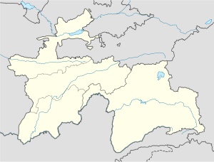
 Changal
Coordinates: 39°31′23″N 67°30′11″E / 39.52306°N 67.50306°ECoordinates: 39°31′23″N 67°30′11″E / 39.52306°N 67.50306°E Country  Tajikistan
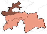
Province Sughd District Panjakent District Changal is a village in north-west Tajikistan. It is located in Panjakent District in Sughd province. [1]
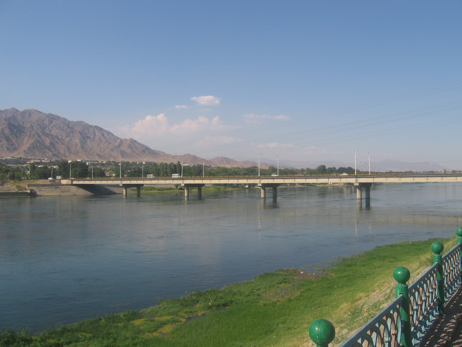
Changal is a western suburb of Panjakent and is located on the Zeravshan River. It is a border settlement with Uzbekistan and lies on the road from Panjakent to Samarkand.
The economy is based on fishing, using the resources of the river.
References
- ^ Falling rain gazetteer
External links
Sugd ProvinceCapital: Khujand Aini District 
Asht District Ghafurov District Ghafurov · Utkansoy · Yova · Pakhtakor · Haidar Usmonov · Goziyon · Unji · Ismoil · Isfisior · Katagan · Ovchi Kalacha · KistakuzGhonchi District Isfara District Istarawshan District Istarawshan · Nijoni · Frunze · Kommunizm · Guli surkh · Poshkent · Pravda · Javkandak · Leninobod · Qalaibaland · NofarojKonibodom District Kuhistoni Mastchoh
DistrictMehron · Langar · Ivan TajikMastchoh District Panjakent District Jabbor Rasulov
DistrictShahriston District Shahriston · Yangiqo‘rg‘onSpitamen District Zafarobod District Categories:- Tajikistan geography stubs
- Populated places in Tajikistan


Wikimedia Foundation. 2010.