- Isfara
Infobox Settlement
official_name = Isfara
other_name =
native_name = Исфара
nickname =
settlement_type =
motto =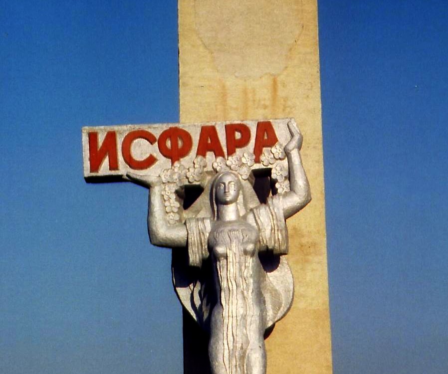
imagesize = 250px
image_caption = A sign welcoming travellers to Isfara
flag_size =
image_
seal_size =
image_shield =
shield_size =
city_logo =
citylogo_size =
mapsize =
map_caption =
mapsize1 =
map_caption1 =
image_dot_
dot_mapsize =
dot_map_caption =
dot_x = |dot_y =
pushpin_
pushpin_label_position =
pushpin_map_caption =
pushpin_mapsize =
subdivision_type = Country]
subdivision_name =Tajikistan
subdivision_type1 = Province
subdivision_name1 =Sughd
subdivision_type2 = District
subdivision_name2 = Isfara
subdivision_type3 =
subdivision_name3 =
subdivision_type4 =
subdivision_name4 =
government_footnotes =
government_type =
leader_title = Mayor
leader_name =Muhiba Yakubova
leader_title1 =
leader_name1 =
leader_title2 =
leader_name2 =
leader_title3 =
leader_name3 =
leader_title4 =
leader_name4 =
established_title =
established_date =
established_title2 =
established_date2 =
established_title3 = Incorporated
established_date3 =1933
area_magnitude =
unit_pref =
area_footnotes =
area_total_km2 = 832
area_land_km2 =
area_water_km2 =
area_total_sq_mi =
area_land_sq_mi =
area_water_sq_mi =
area_water_percent =
area_urban_km2 =
area_urban_sq_mi =
area_metro_km2 =
area_metro_sq_mi =
population_as_of =
population_footnotes =
population_note =
population_total = more than 200,000
population_density_km2 =
population_density_sq_mi =
population_metro =
population_density_metro_km2 =
population_density_metro_sq_mi =
population_urban =
population_density_urban_km2 =
population_density_urban_sq_mi =
population_blank1_title =
population_blank1 =
population_density_blank1_km2 =
population_density_blank1_sq_mi =
timezone =
utc_offset = +5
timezone_DST =
utc_offset_DST =
latd=40 |latm=07 |lats= |latNS=N
longd=70 |longm= 38|longs= |longEW=E
elevation_footnotes =
elevation_m = 863
elevation_ft =
postal_code_type = Postcode
postal_code = 735920
area_code =
blank_name =
blank_info =
blank1_name =
blank1_info =
website =
footnotes =Isfara ( _tg. Исфара) is a city in the
Sughd province in northernTajikistan . It has a population of around 37,300. The city is capital of theIsfara district .History
Isfara is one of the oldest ancient towns in
Central Asia , its first name was Asbara. The town was mentioned in the book of "Tabary History" in the 10th century, when it was an important stop on the northern branch of theSilk Road . The city has amausoleum from this period, theHazrati Shoh Mausoleum , which is carved from wood and unique to Central Asia. In the 11th-12th centuries, its was developed in the field of economy.Babur (1482-1530) named Isfara a main town of the region. In the 16th century there had been developed the buildings of large houses (mosque s,medreseh s). In the 17th century Isfara was under the power ofKokand Khanate .Geography
Isfara is situated near the border junction of three independent states Tajikistan,
Uzbekistan andKyrgyzstan , at a height of 863m above sea level. Its territory is 832 km².Demographics
The population of Isfara is mostly Tajik.
Economy
About 20 industrial companies of the town produce electric products, chemical and metallurgical products, construction materials, food stuffs and others.
Isfara also famous with its apricot gardens all over the country and abroad.
ee also
*
List of cities in Tajikistan External links
* [http://www.isfara.com Isfara Online Portal]
* [http://www.schoolsonline.org/isfara/eng/web/index.htm Relief International Schools Online Internet Learning Center in Isfara]
* [http://www.geocities.com/isfara_vorux/ Page on Isfara]References

Wikimedia Foundation. 2010.