- Noonamah, Northern Territory
-
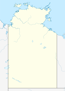
Coordinates: 12°38′03″S 131°04′25″E / 12.634172°S 131.073501°E
Noonamah
Darwin, Northern Territory
Population: 483 (2006)[1] Established: 1941 Postcode: 0837 Location: - 45.6 km (28 mi) from Darwin
- 25.7 km (16 mi) from Palmerston
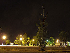
LGA: Litchfield Municipality State District: Goyder Federal Division: Solomon Suburbs around Noonamah: Southport Humpty Doo Lambells Lagoon Southport Noonamah Livingstone Acacia Hills Noonamah is an outer rural suburban area of Darwin. it is 45km SE of the Darwin CBD. Its Local Government Area is the Litchfield Municipality. The suburb is mostly a rural area, but has been experiencing strong growth in population and development.
History
The name of the locality was applied in 1941. "Noonamah" was taken from the language of the Wagaman Aboriginal people and means "plenty of tucker and good things".[2]
References
- ^ Australian Bureau of Statistics (25 October 2007). "Noonamah (State Suburb)". 2006 Census QuickStats. http://www.censusdata.abs.gov.au/ABSNavigation/prenav/LocationSearch?collection=Census&period=2006&areacode=SSC73101&producttype=QuickStats&breadcrumb=PL&action=401. Retrieved 2008-03-01.
- ^ Noonamah (Locality)
External links
Suburbs and Towns of the Litchfield Municipality | Northern Territory Outer Darwin: Bees Creek · Coolalinga · Freds Pass · Girraween · Holtze · Howard Springs · Humpty Doo · Knuckey Lagoon · McMinns Lagoon · Noonamah · Virginia
Mickett CreekWestern Rural: Berry Springs · Blackmore · Channel Island · Darwin River · Fly Creek · Livingstone · Southport · Tumbling Waters · Weddell · Wickham ·Eastern Rural: Acacia Hills · Black Jungle · Gunn Point · Herbert · Hughes · Lambells Lagoon · Lloyd Creek · Manton · Middle Point · Murrumujuk · Daly · Glyde Point · Koolpinyah · Shoal Bay · Wak Wak
Categories:- Suburbs of Darwin
Wikimedia Foundation. 2010.


