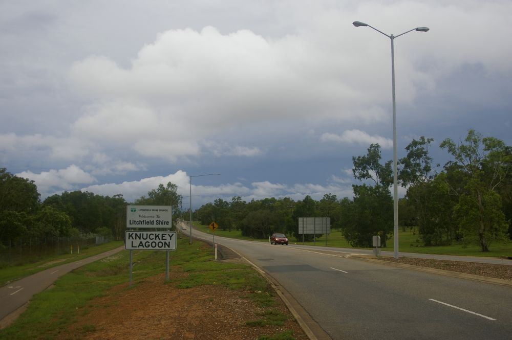
Knuckey Lagoon, Northern Territory
- Knuckey Lagoon, Northern Territory
Infobox Australian Place | type = suburb
name = Knuckey Lagoon
city = Darwin
state = nt

caption =
lga = Shire of Litchfield
postcode = 0828
est = 1869 pop = 66 (2006) |pop_footnotes=[Census 2006 AUS]
id = SSC71066
name = Knuckey Lagoon (State Suburb)
accessdate = 2008-03-01
quick = on]
area =
propval =
stategov = Nelson
fedgov = Solomon
near-nw = Marrara
near-n =
near-ne =
near-w = Berrimah
near-e =
near-sw = East Arm
near-s = East Arm
near-se = Pinelands
dist1 = 18.2
location1= Darwin
dist2 = 10.1
location2= Palmerston
Knuckey Lagoon is an outer suburban area in Darwin. It is 18km East of the Darwin CBD. Its Local Government Area is the Shire of Litchfield. The suburb is mostly a rural area, on the fringe of Metropolitan Darwin.
References
External links
*http://www.nt.gov.au/lands/lis/placenames/origins/greaterdarwin.shtml#k
Wikimedia Foundation.
2010.
Look at other dictionaries:
McMinns Lagoon, Northern Territory — McMinns Lagoon Darwin, Northern Territory Population: 579 (2006)[1] Postcode: 0822 … Wikipedia
Lambells Lagoon, Northern Territory — Infobox Australian Place | type = suburb name = Lambells Lagoon city = Darwin state = nt caption = lga = Shire of Litchfield postcode = 0822 est = pop = 266 (2006) |pop footnotes=Census 2006 AUS id = SSC73071 name = Lambells Lagoon (State Suburb) … Wikipedia
Middle Point, Northern Territory — Middle Point Darwin, Northern Territory Middle Point Antenna Farm LGA … Wikipedia
Darwin River, Northern Territory — Darwin River Darwin, Northern Territory LGA: Litchfield Municipality Darwin River is an outer suburban area in Darwin. The name of the locality derived from the Darwin River which flows through the locality.[ … Wikipedia
Protected areas of the Northern Territory — The Northern Territory contains 95 separate Protected Areas with a total area of 53,505 km² (land area: 51,269 km² – 3.81% of the territory’s area). Ten of these are National parks, totalling 19,622 km² (1.46% of the territory’s… … Wikipedia
Coolalinga, Northern Territory — Coolalinga Darwin, Northern Territory Coolalinga shops … Wikipedia
Noonamah, Northern Territory — Coordinates: 12°38′03″S 131°04′25″E / 12.634172°S 131.073501°E / 12.634172; 131.073501 … Wikipedia
Darwin, Northern Territory — Port Darwin redirects here. For the old name of Falkland Islands, see Darwin, Falkland Islands. Darwin Northern Territory … Wikipedia
Berrimah, Northern Territory — Infobox Australian Place | type = suburb name = Berrimah city = Darwin state = nt caption = Amy Johnson Avenue, Berrimah lga = City of Darwin postcode = 0820 [http://maps.bonzle.com/c/a?a=p cmd=sp p=281047 st= s=berrimah Bonzle Digital Atlas… … Wikipedia
Manton, Northern Territory — Manton Darwin, Northern Territory Manton Dam LGA: Litchfield Municipali … Wikipedia

