Channel Island, Northern Territory

Channel Island, Northern Territory
Channel Island
Outer Metropolitan DarwinNorthern Territory
Channel Island NT.jpg
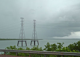
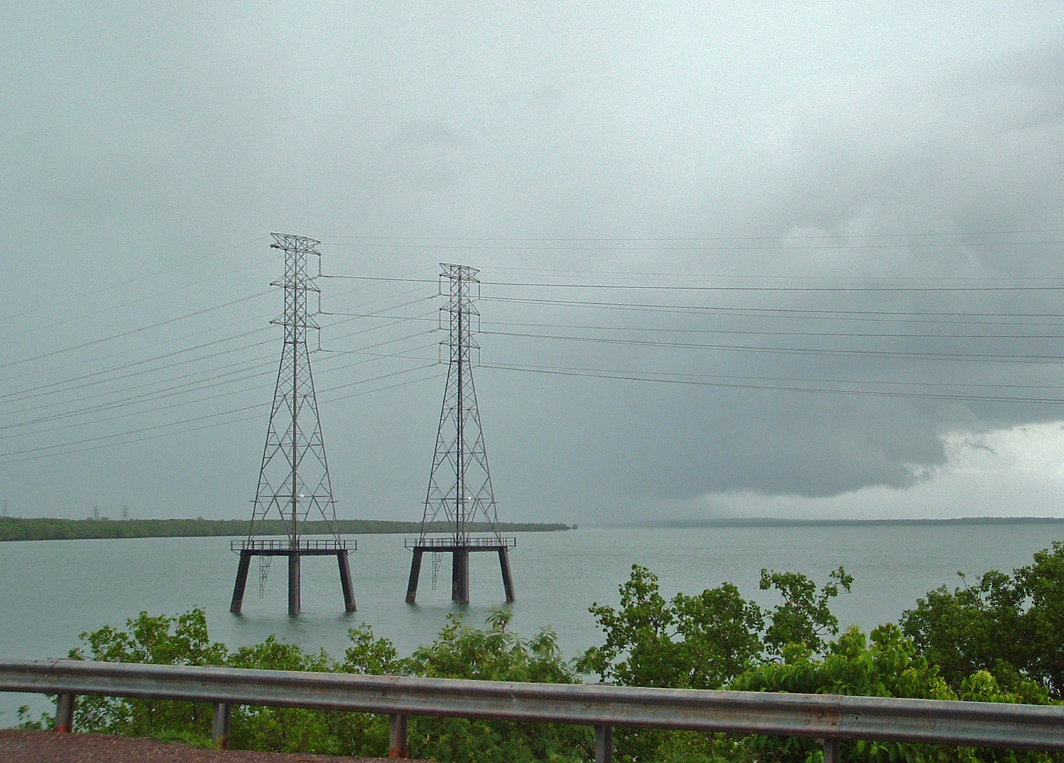
Electricity pylon carrying High voltage power from the power station at Channel Island, Northern Territory.
Postcode: 0822[1]
LGA: Litchfield Municipality

Channel Island is a suburb of Darwin, in the territory of Northern Territory, Australia. It locates in the local government area of Litchfield.[2] Channel Island Power Station locates in the island.[3]

History

Channel Island is the first quarantine venue in Northern Territory. The facilities and a hospital for quarantine purpose were settled in Channel Island since 1914.[4]

References

Coordinates: 12°33′S 130°52′E / 12.55°S 130.867°E / -12.55; 130.867


Wikimedia Foundation. 2010.

Игры ⚽ Нужна курсовая?

Look at other dictionaries:

  • Northern Territory — For similar terms, see Northern Territories (disambiguation). Coordinates: 20°0′S 133°0′E / 20°S 133°E / 20; 133 …   Wikipedia

  • Northern Territory — a territory in N Australia. 123,324; 523,620 sq. mi. (1,356,175 sq. km). Cap.: Darwin. * * * Territory (pop., 2001 prelim.: 200,019), northern Australia. It covers an area of 520,900 sq mi (1,349,130 sq km). Its capital is Darwin; the only other… …   Universalium

  • McMinns Lagoon, Northern Territory — McMinns Lagoon Darwin, Northern Territory Population: 579 (2006)[1] Postcode: 0822 …   Wikipedia

  • Middle Point, Northern Territory — Middle Point Darwin, Northern Territory Middle Point Antenna Farm LGA …   Wikipedia

  • Darwin River, Northern Territory — Darwin River Darwin, Northern Territory LGA: Litchfield Municipality Darwin River is an outer suburban area in Darwin. The name of the locality derived from the Darwin River which flows through the locality.[ …   Wikipedia

  • Darwin, Northern Territory — Port Darwin redirects here. For the old name of Falkland Islands, see Darwin, Falkland Islands. Darwin Northern Territory …   Wikipedia

  • Palmerston, Northern Territory — Infobox Australian Place | type = city name = Palmerston state = nt lga = City of Palmerston caption = Location of Palmerston in Australia pop = 27,185 (2006) pop footnotes = [cite news|url=http://www.ausstats.abs.gov.au/ausstats/subscriber.nsf/0/… …   Wikipedia

  • Protected areas of the Northern Territory — The Northern Territory contains 95 separate Protected Areas with a total area of 53,505 km² (land area: 51,269 km² – 3.81% of the territory’s area). Ten of these are National parks, totalling 19,622 km² (1.46% of the territory’s… …   Wikipedia

  • Coolalinga, Northern Territory — Coolalinga Darwin, Northern Territory Coolalinga shops …   Wikipedia

  • Noonamah, Northern Territory — Coordinates: 12°38′03″S 131°04′25″E / 12.634172°S 131.073501°E / 12.634172; 131.073501 …   Wikipedia

Share the article and excerpts

Direct link
Do a right-click on the link above
and select “Copy Link”