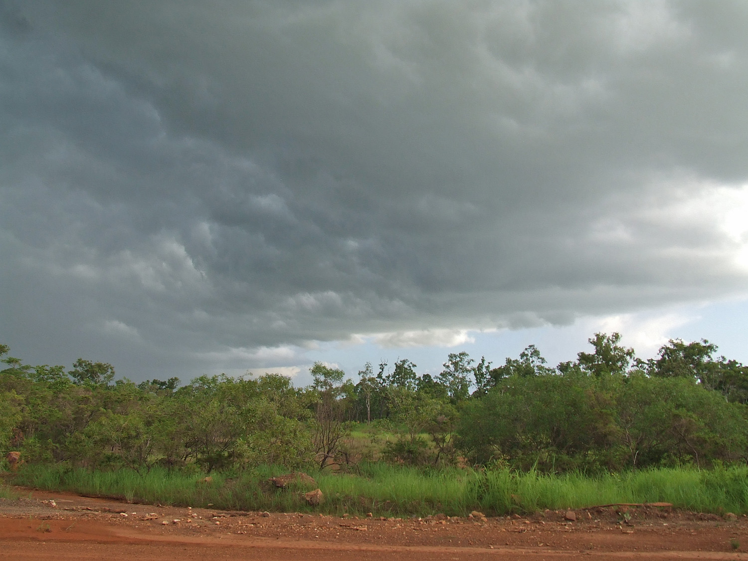
Acacia Hills, Northern Territory
- Acacia Hills, Northern Territory
Infobox Australian Place | type = suburb
name = Acacia Hills
city = Darwin
state = nt

caption =
lga = Shire of Litchfield
postcode = 0822
est =
pop = 440 (2006) |pop_footnotes=[Census 2006 AUS]
id = SSC73006
name = Acacia Hills (State Suburb)
accessdate = 2008-03-01
quick = on] area =
propval = $200,000
stategov = Goyder
fedgov = Solomon
near-nw = Southport
near-n = Noonamah
near-ne = Lambells Lagoon
near-w = Livingstone
near-e =
near-sw = Adelaide River
near-s = Adelaide River
near-se =
dist1 = 60.2
location1= Darwin
Acacia Hills is an outer rural locality of Darwin. It is 60km South of the Darwin CBD. Its Local Government Area is the Shire of Litchfield. The suburb is mostly a rural area, just north of Adelaide River. The suburbs name comes from the acacia shrub in the area.
References
External links
*http://www.nt.gov.au/lands/lis/placenames/origins/greaterdarwin.shtml#p
Wikimedia Foundation.
2010.
Look at other dictionaries:
Northern Territory — a territory in N Australia. 123,324; 523,620 sq. mi. (1,356,175 sq. km). Cap.: Darwin. * * * Territory (pop., 2001 prelim.: 200,019), northern Australia. It covers an area of 520,900 sq mi (1,349,130 sq km). Its capital is Darwin; the only other… … Universalium
McMinns Lagoon, Northern Territory — McMinns Lagoon Darwin, Northern Territory Population: 579 (2006)[1] Postcode: 0822 … Wikipedia
Middle Point, Northern Territory — Middle Point Darwin, Northern Territory Middle Point Antenna Farm LGA … Wikipedia
Darwin River, Northern Territory — Darwin River Darwin, Northern Territory LGA: Litchfield Municipality Darwin River is an outer suburban area in Darwin. The name of the locality derived from the Darwin River which flows through the locality.[ … Wikipedia
Noonamah, Northern Territory — Coordinates: 12°38′03″S 131°04′25″E / 12.634172°S 131.073501°E / 12.634172; 131.073501 … Wikipedia
Coolalinga, Northern Territory — Coolalinga Darwin, Northern Territory Coolalinga shops … Wikipedia
Manton, Northern Territory — Manton Darwin, Northern Territory Manton Dam LGA: Litchfield Municipali … Wikipedia
Murrumujuk, Northern Territory — Murrumujuk Darwin, Northern Territory LGA: Litchfield Municipality Murrumujuk is an outer rural locality of Darwin. It is on the coast of Shoal Bay, south of Gunn Point.[1] … Wikipedia
Livingstone, Northern Territory — Infobox Australian Place | type = suburb name = Livingstone city = Darwin state = nt caption = lga = Shire of Litchfield postcode = 0822 est = 1942 pop = 1,038 (2006) |pop footnotes=Census 2006 AUS id = SSC73081 name = Livingstone (State Suburb)… … Wikipedia
Southport, Northern Territory — Infobox Australian Place | type = suburb name = Southport city = Darwin state = nt caption = lga = Shire of Litchfield postcode = 0822 est = pop = 355 (2006) |pop footnotes=Census 2006 AUS id = SSC73106 name = South Port (State Suburb) accessdate … Wikipedia

