- Chacaltaya
-
Chacaltaya 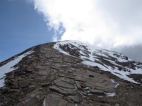
View of Chacaltaya glacier, March 2011Elevation 5,421 m (17,785 ft) Location Location of Chacaltaya in Bolivia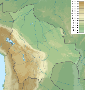
 Chacaltaya
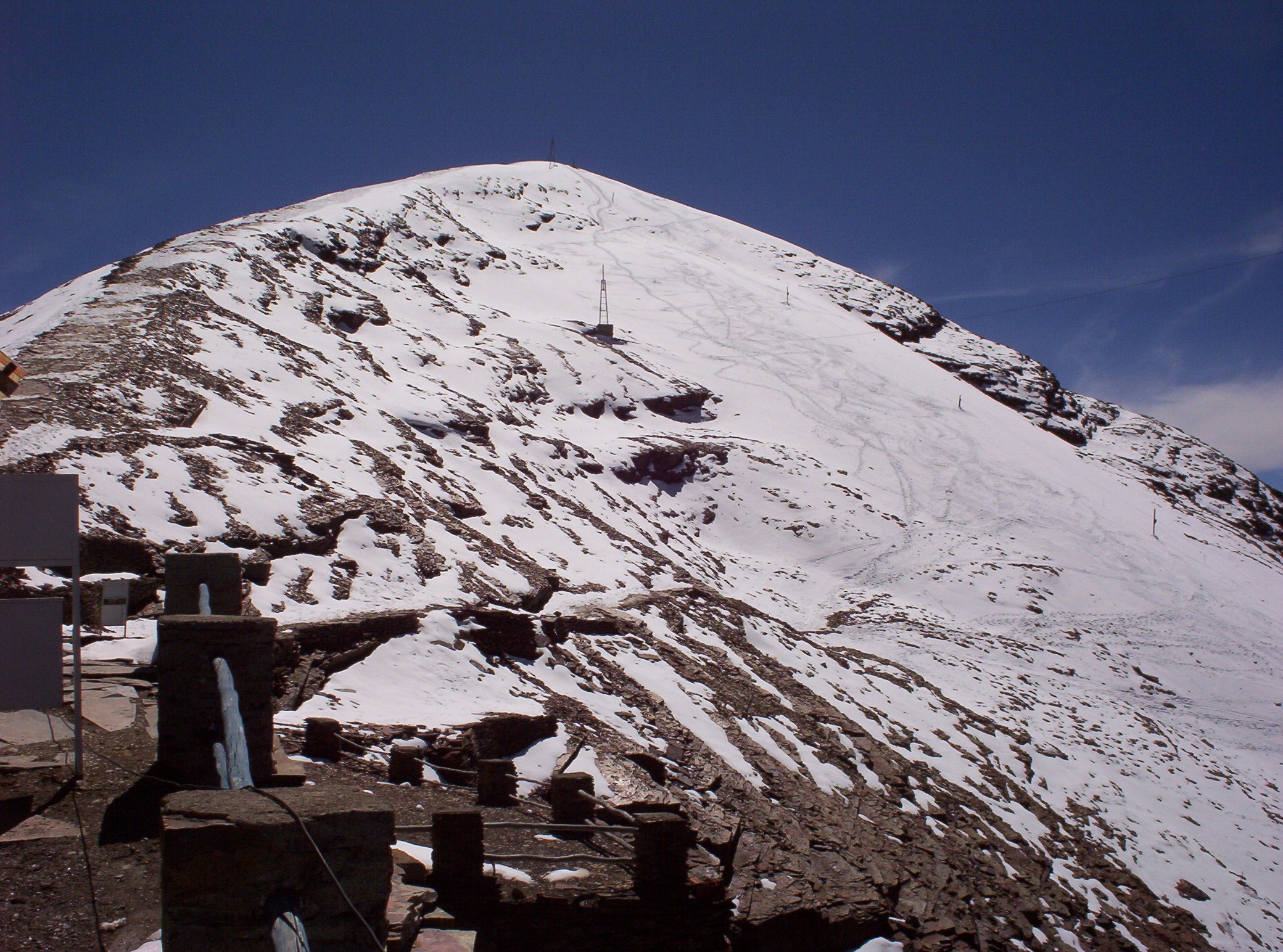
Location La Paz Department, Bolivia Range Cordillera Real, Andes Coordinates 16°21′12″S 68°07′53″W / 16.35333°S 68.13139°WCoordinates: 16°21′12″S 68°07′53″W / 16.35333°S 68.13139°W Climbing Easiest route walk up Chacaltaya (Aymara for "cold road") is a mountain in the Cordillera Real, one of the mountain ranges of the Cordillera Oriental, itself a range of the Bolivian Andes. Its elevation is 5,421 meters (17,785 ft). Chacaltaya's glacier - which was as old as 18,000 years – had in 1940 an area of 0.22 km2 (0.085 sq mi), reduced to 0.01 km2 (0.0039 sq mi) in 2007 and was completely gone by 2009.[1][2][3] Half of the meltdown was done before 1980 (measured in volume).[4] The final meltdown after 1980, due to missing precipitation and the warm phase of El Niňo, resulted in its final disappearance in 2009. The glacier was one of the highest glaciers in South America, located about 30 kilometers (19 mi) from La Paz, near Huayna Potosí mountain.
 View of Chacaltaya glacier, May 2005
Contents
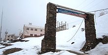
Ski area
 Enhanced image of Chacaltaya ski resort, November 2007
The glacier on Chacaltaya served as Bolivia's only ski resort. It was the world's highest lift-served ski area, the northernmost ski area in South America as well as the world's most equatorial. The rope tow, the very first in South America, was built in 1939 using an automobile engine; it was notoriously fast and difficult, housed in the site's original clapboard lodge and is now inoperable. The road to the base of the 200-meter (660 ft) drop is reached by a narrow road, also built in the 1930s. Traditionally, due to the extreme cold weather, the lift operated exclusively on weekends from November to March. This summer glacier skiing is no longer possible following the unexpectedly early melting of the glacier.[1] As of 2009, skiing is restricted to a 600-foot (180 m) stretch that sometimes receives sufficient snowfall for a run during the winter.[2][5] The mountain is also popular with amateur mountaineers, as the aforementioned road stops only 200-metre (660 ft) from the summit.
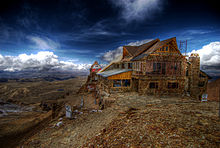
Observatory
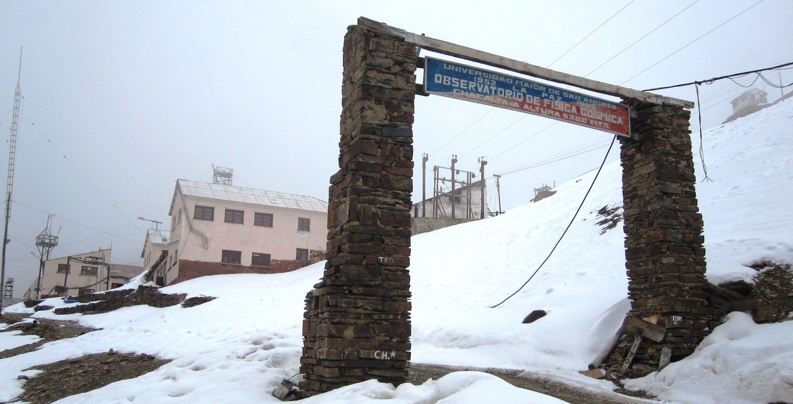
 Chacaltaya Astrophysical Observatory, March 2011
The Mount Chacaltaya Laboratory began as a weather station in 1942.[6] Located at 5,270 meters (17,290 ft), the Chacaltaya Astrophysical Observatory (Observatorio de Física Cósmica) of the Universidad Mayor de San Andrés is operated in collaboration with other universities worldwide. It is an important site for gamma ray research.[7] It has also been the site of medical and physiological research expeditions organized by the Apex charity and was used for the Apex 3 expedition in July 2011.[8]
Retreat of Chacaltaya glacier
Scientists at the Mount Chacaltaya Laboratory started measuring the Chacaltaya glacier in the 1990s. Predicted at that time to survive until 2015, the Chacaltaya glacier has melted at a much faster rate than expected. The 18,000 year old glacier has been reduced in recent years to just a few small patches of ice and snow near the top of the mountain.[9]
Many Bolivians on the highland plains, and in two of Bolivia's main cities—La Paz and El Alto—depend on the melting of Andean glaciers for their water supply during the dry season. The World Bank has warned that many glaciers in the tropical portion of the Andes are expected to disappear within 20 years. This will threaten the water supplies of nearly 80 million people living in the region as well as the future generation of hydropower. Bolivia, Ecuador and Peru depend on hydropower for about half their electricity.[9]
See also
- List of highest astronomical observatories
- Retreat of glaciers since 1850
References
- ^ a b http://www.bloomberg.com/apps/news?pid=20601086&sid=aijxVBCguhJM
- ^ a b "Farewell to a melting glacier". BBC News. 2007-04-03. http://news.bbc.co.uk/2/hi/americas/6496429.stm. Retrieved 2007-07-13.
- ^ "Bolivia's Chacaltaya glacier is gone". The Miami Herald. 2009-05-04. http://www.miamiherald.com/news/americas/story/1030126.html. Retrieved 2009-05-10.[dead link]
- ^ Glacier Evolution in the Tropical Andes during the Last Decades of the 20th Century: Chacaltaya, Bolivia, and Antizana, Ecuador. 29. AMBINO. 2000-11-01. pp. 416. ISSN 0044-7447. http://ambio.allenpress.com/perlserv/?request=get-document&doi=10.1639%2F0044-7447(2000)029%5B0416%3AGEITTA%5D2.0.CO%3B2&ct=1#i0044-7447-29-7-416-f09. Retrieved 2000-11-01.
- ^ Romero, Simon (2007-02-02). "Bolivia’s Only Ski Resort Is Facing a Snowless Future". Chacaltaya Journal (The New York Times). http://www.nytimes.com/2007/02/02/world/americas/02bolivia.html. Retrieved 2009-05-10.
- ^ Francesco Zaratti (2009). "The Mount Chacaltaya Laboratory: past, present and future". La Paz, Bolivia: Atmospheric Physics Laboratory. http://www.evk2cnr.org/cms/files/evk2cnr.org/03_ZARATTI%20SHARE%20conference.pdf. Retrieved 2011-04-19.
- ^ Wamsteker, W; Albrecht, Rudolf; Haubold, Hans J (2004). Developing basic space science world-wide: a decade of UN/ESA workshops. Dordrecht, Boston: Kluwer Academic Publishers. ISBN 9781402025198. OCLC 56105246.
- ^ http://www.altitude.org/apex_3.php
- ^ a b Painter, James (2009-05-12). "Huge Bolivian glacier disappears". BBC News. http://news.bbc.co.uk/2/hi/americas/8046540.stm. Retrieved 2011-08-12.
External links
Categories:- Mountains of Bolivia
- Glaciers of Bolivia
- Ski areas and resorts in Bolivia
- Astronomical observatories in Bolivia
- Geography of La Paz Department


Wikimedia Foundation. 2010.