- Mulberry Township, Ellsworth County, Kansas
-
Mulberry Township — Township — Location in Ellsworth County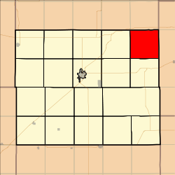
Coordinates: 38°49′39″N 097°59′02″W / 38.8275°N 97.98389°WCoordinates: 38°49′39″N 097°59′02″W / 38.8275°N 97.98389°W Country United States State Kansas County Ellsworth Area – Total 35.97 sq mi (93.15 km2) – Land 35.88 sq mi (92.93 km2) – Water 0.08 sq mi (0.22 km2) 0.24% Elevation 1,499 ft (457 m) Population (2000) – Total 44 – Density 1.2/sq mi (0.5/km2) GNIS feature ID 0475365 Mulberry Township is a township in Ellsworth County, Kansas, USA. As of the 2000 census, its population was 44.
Contents
Geography
Mulberry Township covers an area of 35.97 square miles (93.2 km2) and contains no incorporated settlements. According to the USGS, it contains one cemetery, Mulberry.
The stream of Table Rock Creek runs through this township.
Transportation
Mulberry Township contains one airport or landing strip, Belcher Airport.
References
External links
Municipalities and communities of Ellsworth County, Kansas Cities 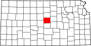
Townships Unincorporated
communitiesBlack Wolf | Carneiro | Langley | Venango | Yankee Run
Categories:- Townships in Ellsworth County, Kansas
- North Central Kansas geography stubs


Wikimedia Foundation. 2010.