- Rutledge, Tennessee
Infobox Settlement
official_name = Rutledge, Tennessee
settlement_type =Town
nickname =
motto =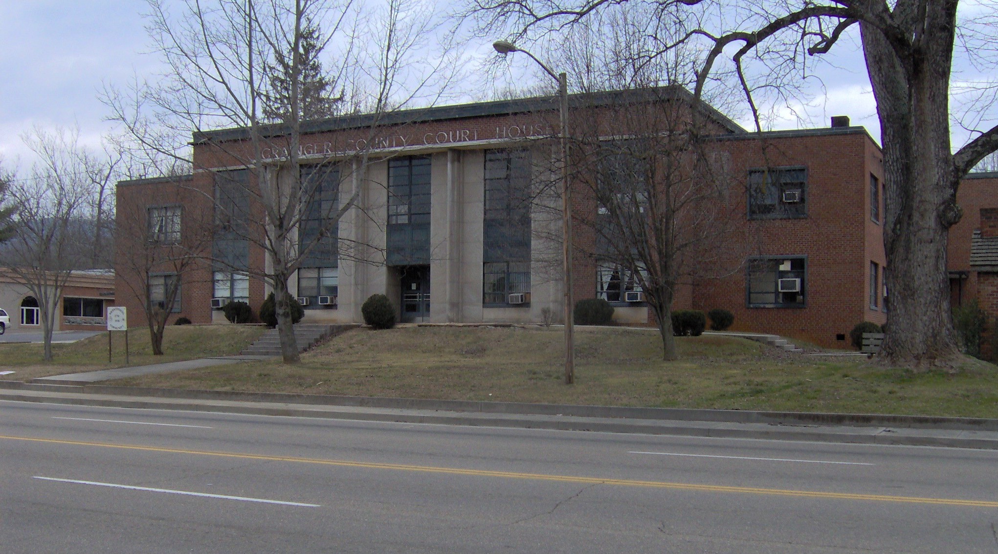
imagesize = 250px
image_caption = Grainger County Courthouse in Rutledge
image_
mapsize = 250px
map_caption = Location of Rutledge, Tennessee
mapsize1 =
map_caption1 =subdivision_type = Country
subdivision_name =United States
subdivision_type1 = State
subdivision_name1 =Tennessee
subdivision_type2 = County
subdivision_name2 = Graingergovernment_footnotes =
government_type =
leader_title =
leader_name =
leader_title1 =
leader_name1 =
established_title =
established_date =unit_pref = Imperial
area_footnotes =
area_magnitude =
area_total_km2 = 12.1
area_land_km2 = 12.1
area_water_km2 = 0.0
area_total_sq_mi = 4.7
area_land_sq_mi = 4.7
area_water_sq_mi = 0.0population_as_of = 2000
population_footnotes =
population_total = 1187
population_density_km2 = 97.7
population_density_sq_mi = 253.1timezone = Eastern (EST)
utc_offset = -5
timezone_DST = EDT
utc_offset_DST = -4
elevation_footnotes =
elevation_m = 310
elevation_ft = 1017
latd = 36 |latm = 16 |lats = 48 |latNS = N
longd = 83 |longm = 31 |longs = 5 |longEW = Wpostal_code_type =
ZIP code
postal_code = 37861
area_code = 865
blank_name = FIPS code
blank_info = 47-65820GR|2
blank1_name = GNIS feature ID
blank1_info = 1269919GR|3
website =
footnotes =Rutledge is a town in Grainger County,
Tennessee ,United States . It is thecounty seat of Grainger CountyGR|6. It is part of theMorristown, Tennessee Metropolitan Statistical Area. As of the 2000 census, the town had a total population of 1,187.Geography
Rutledge is located at coor dms|36|16|48|N|83|31|5|W|city (36.279991, -83.518008).GR|1 The town is situated near the center of Richland Valley, a narrow valley that stretches for some convert|35|mi|km along the southern base of
Clinch Mountain between Blaine and Bean Station. Richland Creek traverses most of the valley en route to its confluence along the Cherokee Lake impoundment of theHolston River , approximately convert|20|mi|km downstream from Rutledge. Cherokee Lake's Ray Creek embayment is located approximately convert|10|mi|km east of Rutledge.Rutledge is centered around the junction of
U.S. Route 11W , which connects the town to Kingsport to the east and Knoxville to the west, and Tennessee State Route 92, which connects the town to Jefferson County andInterstate 40 to the south.U.S. Route 25 , which traverses Clinch Mountain, intersects US-11W approximately convert|10|mi|km east of Rutledge.According to the
United States Census Bureau , the town has a total area of 4.7square mile s (12.1km² ), all land.Demographics
As of the
census GR|2 of 2000, there were 1,187 people, 475 households, and 298 families residing in the town. Thepopulation density was 253.1 people per square mile (97.7/km²). There were 530 housing units at an average density of 113.0/sq mi (43.6/km²). The racial makeup of the town was 96.88% White, 2.02% African American, 0.08% Native American, 0.08% Asian, 0.42% from other races, and 0.51% from two or more races. Hispanic or Latino of any race were 1.01% of the population.There were 475 households out of which 27.2% had children under the age of 18 living with them, 46.9% were married couples living together, 14.1% had a female householder with no husband present, and 37.1% were non-families. 34.7% of all households were made up of individuals and 18.1% had someone living alone who was 65 years of age or older. The average household size was 2.17 and the average family size was 2.76.
In the town the population was spread out with 19.0% under the age of 18, 5.7% from 18 to 24, 28.1% from 25 to 44, 21.7% from 45 to 64, and 25.4% who were 65 years of age or older. The median age was 43 years. For every 100 females there were 86.1 males. For every 100 females age 18 and over, there were 83.2 males.
The median income for a household in the town was $24,276, and the median income for a family was $33,571. Males had a median income of $26,151 versus $20,677 for females. The
per capita income for the town was $14,477. About 11.8% of families and 20.0% of the population were below thepoverty line , including 20.8% of those under the age of 18 and 31.9% of those 65 and older.History
Rutledge was established in 1798 and named for General George Rutledge, a prominent citizen in nearby Sullivan County. In 1801, Rutledge became the official county seat of Grainger County, a distinction that had been shared by several communities since the county's formation in 1796. Rutledge prospered in the early 1800s in part due to its situation along the Federal Road (now US-11W), which connected New Orleans and Virginia. The road intersected the Old Kentucky Road (now US-25E) at Bean Station, just east of Rutledge. [Kevin Collins, " [http://tennesseeencyclopedia.net/imagegallery.php?EntryID=G036 Grainger County] ." "The Tennessee Encyclopedia of History and Culture, 2002. Retrieved: 19 February 2008.]
In the 1820s, future president
Andrew Johnson , who worked as a tailor in Greeneville, briefly operated a tailor shop in Rutledge. [Tennessee Historical Commission Marker 1B 43 in Rutledge, Tennessee. Information accessed: 17 February 2008.] In 1976, a replica of Johnson's tailor shop was erected on the Grainger County Courthouse lawn.During the
U.S. Civil War , guerilla warfare largely paralyzed Grainger County. In December 1863, Confederate GeneralJames Longstreet , who had earlier failed to wrest Knoxville from Union forces, passed through Rutledge en route to winter quarters at Russellville. On December 14, in what became known as theBattle of Bean's Station , Longstreet attacked a Union detachment that had been pursuing him. The Confederates failed to exploit the element of surprise, and the Union forces were able to hold out until reinforcements arrived. While Longstreet was victorious, Union forces were able to retreat to fortifications at Blaine, and Longstreet subsequently abandoned the assault and continued eastward to Russellville. [The National Park Service, " [http://www.nps.gov/history/hps/abpp/battles/tn026.htm Battle Summary: Bean's Station, Tennessee] ." Retrieved: 19 February 2008.]Cherokee Lake, created by the
Tennessee Valley Authority in 1941 with the completion of Cherokee Dam, is located just south of Rutledge.Notable native
*
Robert Taylor Jones — ninth governor ofArizona , was born in Rutledge.References
External links
Wikimedia Foundation. 2010.